Old Maps of Blue Level, Kentucky for Academic Research
Study the evolution of Blue Level with 11 high-resolution historic maps. Whether you're teaching, researching, or modeling changes in land use, these maps provide essential visual documentation of urban, environmental, and geographic change.
- Analyze long-term change: Track patterns in development, transportation, and natural features.
- Ideal for environmental or urban studies: Support academic projects with primary historical map data.
- Use in the classroom or lab: Educators and researchers rely on these maps to bring historical context to life.
These maps are a powerful tool for teaching, research, and visualizing how Blue Level has changed over the decades.
Blue Level, KY maps
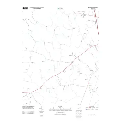
(11)- 1952 Map of Rockfield, 1953 Print
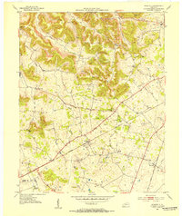 1952 Rockfield1953 Print · USGSWarren County in the early fifties is shown here at a peak of rail and resource activity. Genealogists can locate family landmarks like Millikens Chapel and Sumpter Cem, or trace the development of Rockfield and Rich Pond.2 unique versions available
 - 1956 Map of Nashville, 1971 Print
 1956 Nashville1971 Print · USGSThe Tennessee-Kentucky borderlands come into focus in the mid-1960s as major reservoir projects transformed the Cumberland and Tennessee river valleys. Researchers can trace the rail networks of the Louisville and Nashville and visit sites like Fort Campbell and Fort Donelson National Military Park.2 unique versions available
 - 1959 Map of Nashville
 1959 Nashville1959 Print · USGSMiddle Tennessee and Southern Kentucky come into focus during the late fifties, showing the region's transition into a modern transportation and military hub. Researchers can trace the sprawling Fort Campbell Military Reservation or locate historic rail stops along the Tennessee Central Ry and Illinois Central RR.
 - 1973 Map of Rockfield, 1974 Print
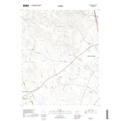
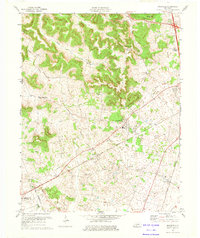 1973 Rockfield1974 Print · USGSWarren County in the 1970s is a landscape of active oil fields and traditional rural rail stops. Genealogists and historians can trace the foundations of local life through Rockfield Sch, Cedar Grove Ch, and the extensive network of Oil Wells surrounding Browning.
 - 1979 Map of Rockfield, 1988 Print
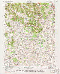 1979 Rockfield1988 Print · USGSWarren County’s rail and energy landscape comes into focus during the 1970s as the Louisville and Nashville line passes through small rural hubs. Genealogists and historians can trace local family landmarks like Millikens Chapel, Pleasant Hill Cem, and the community at Rockfield.
 - 1985 Map of Bowling Green
 1985 Bowling Green1985 Print · USGSThe rolling borderlands of Kentucky and Tennessee are captured here in the mid-eighties, showing a landscape shaped by the Barren River and deep-rooted rail networks. Genealogists and researchers can trace local landmarks like Prices Mill, Highland Academy, and Green Lawn Cem.3 unique versions available
 - 2010 Map of Rockfield, 2010 Print
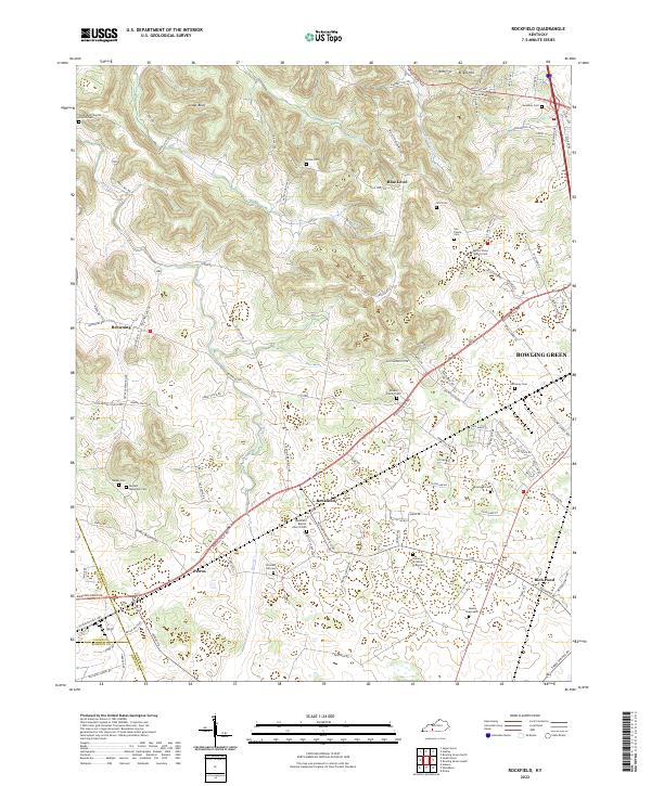
 2010 Rockfield2010 Print · USGSCovers Blue Level, including Bowling Green, Rich Pond, and other nearby areas
 - 2013 Map of Rockfield, 2013 Print
 2013 Rockfield2013 Print · USGSCovers Blue Level, including Bowling Green, Rich Pond, and other nearby areas
 - 2016 Map of Rockfield, 2016 Print
 2016 Rockfield2016 Print · USGSCovers Blue Level, including Bowling Green, Rich Pond, and other nearby areas
 - 2019 Map of Rockfield, 2019 Print
 2019 Rockfield2019 Print · USGSCovers Blue Level, including Bowling Green, Rich Pond, and other nearby areas
 - 2022 Map of Rockfield, 2022 Print
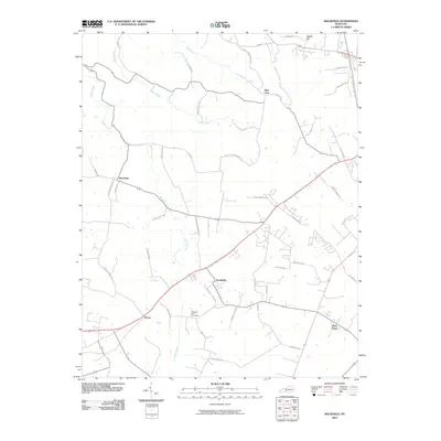
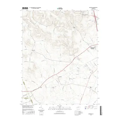
 2022 Rockfield2022 Print · USGSSouthwest of Bowling Green, this Warren County landscape is a patchwork of early settlements and family lands connected by the historic Russellville Rd. Genealogists can trace local lineages through numerous sites like the Barnett - Mansfield Cem, Read Graveyard, and Pleasant Hill Cem.
End of results
Showing maps 1-11 of 11
Top cities near Blue Level
- Bowling Green historical maps
- Franklin historical maps
- Scottsville historical maps
- Morgantown historical maps
- Auburn historical maps
- Plum Springs historical maps
See more
Frequently asked questions
- What are the different types of historical maps available for Blue Level?
- What is the oldest map of Blue Level?
- Where can I purchase historical maps of Blue Level for my home or office?
- Where can I download high-res historical maps of Blue Level?
- Are there historical topographic maps available for Blue Level?
- Is there historical aerial imagery available for Blue Level?
- Where are historical maps of Blue Level sourced from?