Old Maps of Oakland, Kentucky for Hiking & Exploration
Hike through history with 22 historic maps of Oakland. Explore old trails, ghost towns, and forgotten backroads — perfect for outdoor adventurers and local explorers.
- Rediscover forgotten places: Map out old mining camps, roads, and footpaths that no longer exist on modern maps.
- Layer with modern tools: Combine with LiDAR or satellite views to plan hikes through historical terrain.
- Made for exploration: Popular among hikers, overlanders, and local history lovers.
Use these maps to find adventure and explore the hidden past of Oakland.
Oakland, KY maps
(22)- 1922 Map of Brownsville
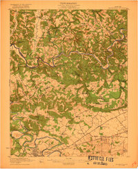 1922 Brownsville1922 Print · USGSEdmonson and Warren Counties are mapped here in the early 1920s, showing a river-centered economy still reliant on ferries and landings. Genealogists can trace family footprints across dozens of country school sites like Poplar Spring School and historic crossings like Sadler Ford.
 - 1922 Map of Mammoth Cave, 1957 Print
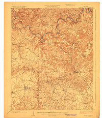
 1922 Mammoth Cave1957 Print · USGSThe Green River valley and the Kentucky karst country are captured here in the early 1920s, before the full development of the national park. Researchers can trace family-named landmarks and long-established crossings like Fishtrap Ferry, Good Spring Church, and the world-renowned Mammoth Cave.7 unique versions available
 - 1923 Map of Mammoth Cave
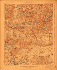
 1923 Mammoth Cave1923 Print · USGSThe subterranean wonders of Edmonson County are mapped in the early 1920s alongside the river ferries and rail towns of the Kentucky karst. Family historians can trace ancestral roots through dozens of local landmarks like Good Spring Church, Ollie School, and Houchins Ferry.6 unique versions available
 - 1923 Map of Brownsville
 1923 Brownsville1923 Print · USGSThe river-driven economies of Edmonson and Warren counties are preserved here in the early twentieth century. Researchers can trace ancestral locations through dozens of named sites like Bethlehem Church, Dalton Ferry, and rural schoolhouses including Poplar Spring School.3 unique versions available
 - 1954 Map of Evansville
 1954 Evansville1954 Print · USGSThe Ohio River borderlands between Indiana and Kentucky appear here during a period of robust industrial and military growth. Genealogists and researchers can trace the rail corridors of the Illinois Central and find landmarks like US Lock and Dam No 48 or Camp Breckinridge.
 - 1954 Map of Bristow, 1955 Print
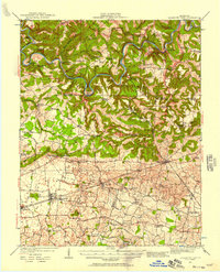
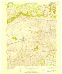
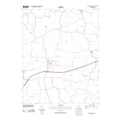
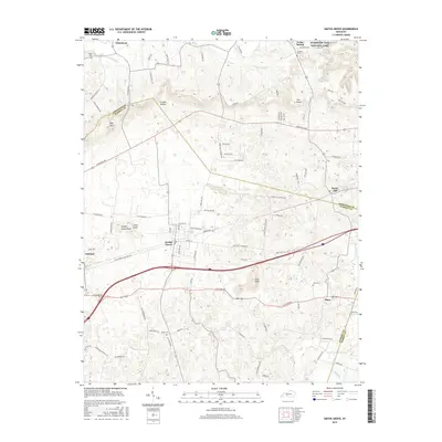
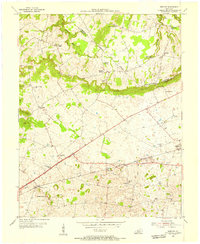 1954 Bristow1955 Print · USGSWarren and Edmonson Counties come alive in this mid-fifties study of the Kentucky karst and rail corridors. Genealogists can trace family roots through landmarks like Penns Chapel, Chalybeate Sch, and the rail-stop communities of Oakland and Bristow.2 unique versions available
 - 1954 Map of Smiths Grove, 1956 Print
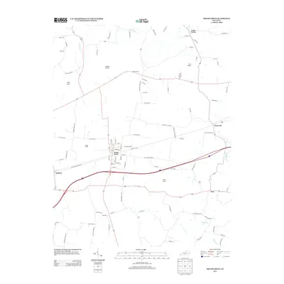
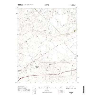
 1954 Smiths Grove1956 Print · USGSThe Warren County countryside south of the Green River corridor thrived as a mid-century transit hub during the 1950s. Genealogists and historians can trace the legacy of families near Smiths Grove through landmarks like Kinser Cem, Cole Sch, and the Louisville and Nashville rail line.
 - 1957 Map of Evansville, 1969 Print
 1957 Evansville1969 Print · USGSIndiana and Kentucky meet along the Ohio River in this mid-century survey of a vital industrial and transport corridor. Genealogists and historians can trace the development of river towns like Owensboro and Newburgh or locate old rail lines like the Southern Ry.3 unique versions available
 - 1961 Map of Evansville
 1961 Evansville1961 Print · USGSThe Ohio River valley and its surrounding coalfields are captured here during the late fifties and early sixties. Trace the industrial rail networks of the Illinois Central RR and explore regional landmarks like Mammoth Cave National Park and Angel Mounds State Memorial.2 unique versions available
 - 1965 Map of Bristow, 1967 Print
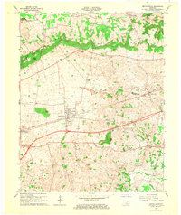
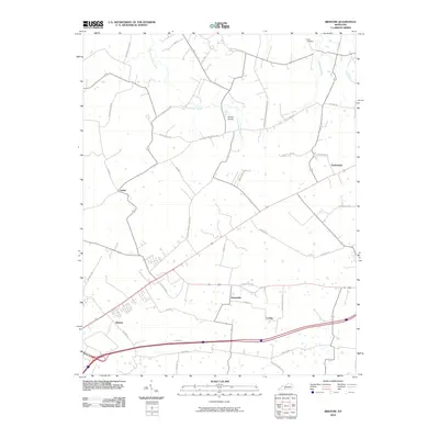
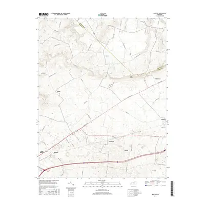
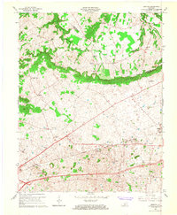 1965 Bristow1967 Print · USGSRural Warren County at the height of the sixties is defined by its small communities and the prominent ridge of The Knobs. Researchers can trace family sites at Penns Chapel Cem, Jackson Grove Ch, and the old Bristow Sch.2 unique versions available
 - 1966 Map of Smiths Grove, 1968 Print
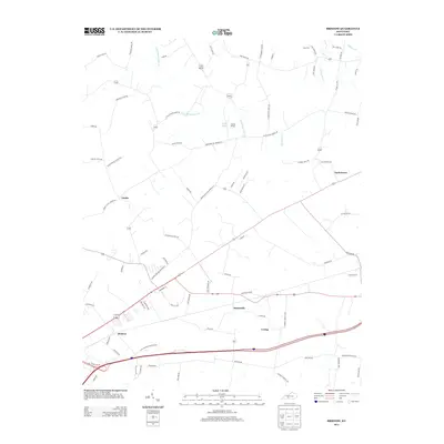
 1966 Smiths Grove1968 Print · USGSIn the mid-1960s, the Smiths Grove area of Warren County was a landscape of karst springs and growing oil exploration along the Louisville and Nashville line. Genealogists can trace family names at Kinser Cem and Lambert Cem or locate old rural congregations like New Grove Ch and Liberty Ch.3 unique versions available
 - 1981 Map of Beaver Dam, 1984 Print
 1981 Beaver Dam1984 Print · USGSThe Western Kentucky coal and river country comes into focus in the early 1980s as industry and recreation reshape the land. Researchers can trace family roots and old routes through Morgantown, Beaver Dam, and the early footprints of Mammoth Cave National Park.
 - 2010 Map of Smiths Grove, 2010 Print
 2010 Smiths Grove2010 Print · USGSCovers Oakland, including Smiths Grove, Hays, and other nearby areas
 - 2010 Map of Bristow, 2010 Print
 2010 Bristow2010 Print · USGSCovers Oakland, including Bowling Green, Tuckertown, and other nearby areas
 - 2013 Map of Smiths Grove, 2013 Print
 2013 Smiths Grove2013 Print · USGSCovers Oakland, including Smiths Grove, Hays, and other nearby areas
 - 2013 Map of Bristow, 2013 Print
 2013 Bristow2013 Print · USGSCovers Oakland, including Bowling Green, Tuckertown, and other nearby areas
 - 2016 Map of Smiths Grove, 2016 Print
 2016 Smiths Grove2016 Print · USGSCovers Oakland, including Smiths Grove, Hays, and other nearby areas
 - 2016 Map of Bristow, 2016 Print
 2016 Bristow2016 Print · USGSCovers Oakland, including Bowling Green, Tuckertown, and other nearby areas
 - 2019 Map of Bristow, 2019 Print
 2019 Bristow2019 Print · USGSCovers Oakland, including Bowling Green, Tuckertown, and other nearby areas
 - 2019 Map of Smiths Grove, 2019 Print
 2019 Smiths Grove2019 Print · USGSCovers Oakland, including Smiths Grove, Hays, and other nearby areas
 - 2022 Map of Smiths Grove, 2022 Print
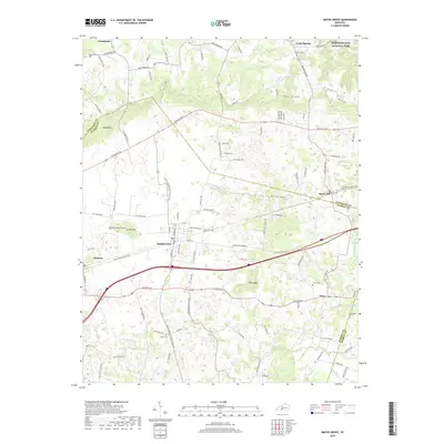
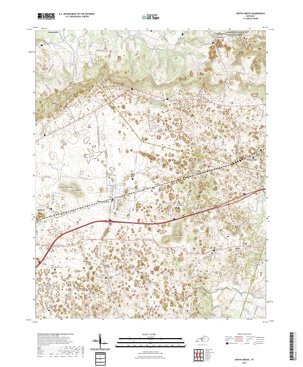 2022 Smiths Grove2022 Print · USGSThe karst country of Warren County comes to life in this recent survey of the area surrounding Smiths Grove. Researchers can pinpoint dozens of family burial sites and rural sanctuaries, including the Tucker Graveyard, Potter Burying Ground, and Icy Sink Missionary Baptist Church Cem.
 - 2022 Map of Bristow, 2022 Print
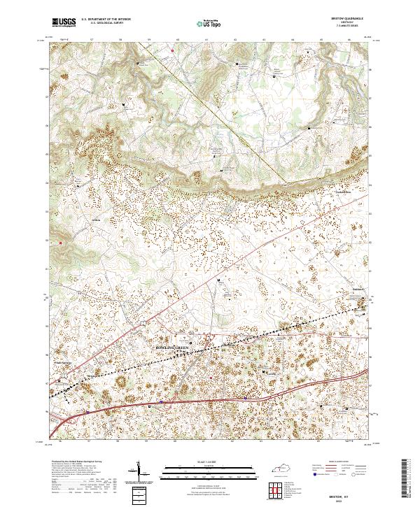 2022 Bristow2022 Print · USGSThe Warren and Edmonson county line near Bowling Green reveals a deep network of family cemeteries and rural congregations. Researchers can trace ancestral roots at sites like French - Poteet Cem, Mizpah Cem, and the Cowles Chapel Church Cem.
End of results
Showing maps 1-22 of 22
Top cities near Oakland
- Bowling Green historical maps
- Scottsville historical maps
- Brownsville historical maps
- Smiths Grove historical maps
- Park City historical maps
- Plum Springs historical maps
Frequently asked questions
- What are the different types of historical maps available for Oakland?
- What is the oldest map of Oakland?
- Where can I purchase historical maps of Oakland for my home or office?
- Where can I download high-res historical maps of Oakland?
- Are there historical topographic maps available for Oakland?
- Is there historical aerial imagery available for Oakland?
- Where are historical maps of Oakland sourced from?