Old Maps of Touristville, Kentucky for Genealogy
Trace your family roots with 12 historic maps of Touristville. These high-res maps reveal old neighborhoods, homesites, landmarks, and streets — helping you uncover where your ancestors lived and how the area evolved over time.
- Explore historic neighborhoods: Identify where your relatives may have lived in the 1800s or 1900s.
- Compare maps over time: Trace the changes in streets, buildings, and landmarks for multi-generational research.
- Perfect for genealogy & ancestry research: Used by family historians and researchers to map out lineage and migration.
These maps are an incredible resource for exploring your personal connection to Touristville's past.
Touristville, KY maps
(12)- 1911 Map of Monticello, 1952 Print
 1911 Monticello1952 Print · USGSWayne County and the southern loops of the Cumberland River are captured here in the early twentieth century before modern reservoirs changed the valley. Genealogists can locate dozens of country schools and churches, from Old Glory School to Union Church, alongside river landings like Rankin Landing.2 unique versions available
 - 1914 Map of Monticello
 1914 Monticello1914 Print · USGSWayne County life in the early twentieth century centered on the Cumberland River and the crossroads at Monticello. Genealogists and historians can trace numerous rural institutions like Old Glory School, Union Church, and the Ramsey Branch Stop PO.4 unique versions available
 - 1953 Map of Mill Springs, 1955 Print
 1953 Mill Springs1955 Print · USGSThe mid-century landscape of Wayne and Pulaski counties comes alive here, showing the region just as the rising waters of Lake Cumberland redefined the terrain. Genealogists and historians can trace family roots at Morrow Chapel, Simpson Spr, and the Mill Springs Battlefield.2 unique versions available
 - 1956 Map of Corbin, 1966 Print
 1956 Corbin1966 Print · USGSThe Kentucky and Tennessee borderlands are captured here in the mid-fifties, showing the region's shift toward modern interstate travel and reservoir development. Genealogists and historians can trace old community lines near Albany and Monticello or locate early rail junctions along the Southern and Tennessee Central lines.3 unique versions available
 - 1958 Map of Corbin
 1958 Corbin1958 Print · USGSThe Upper Cumberland borderlands appear in the late 1950s as massive reservoirs and early atomic-era growth reshape the region. Trace family roots and vanished landmarks near Lake Cumberland, Oak Ridge, and the Cumberland National Forest.
 - 1978 Map of Mill Springs
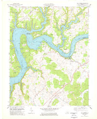 1978 Mill Springs1978 Print · USGSLake Cumberland was already a well-established recreational destination by the late seventies, reshaped by the impoundment of the river. Genealogists can trace family names and historic sites like Steubenville, Morrow Chapel, and the Mill Springs Battlefield.
 - 1981 Map of Corbin, 1984 Print
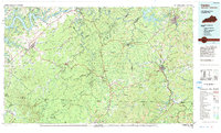 1981 Corbin1984 Print · USGSThe Kentucky and Tennessee borderlands in the early eighties were characterized by coal towns and deep mountain ridges. Trace family history or rail routes through Stearns, Williamsburg, and the mining settlements near Jellico Mountain along the L & N RR.
 - 2010 Map of Mill Springs, 2010 Print
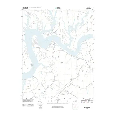 2010 Mill Springs2010 Print · USGSSouthern Kentucky's river landscape is captured here in the early twenty-first century as the Cumberland River winds through the hills. Genealogists can trace family heritage through several burial sites like Morrow Cemetery and Sloan Cemetery near the settlement of Mill Springs.
 - 2013 Map of Mill Springs, 2013 Print
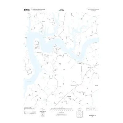 2013 Mill Springs2013 Print · USGSNorth of Monticello in the early twenty-first century, the shoreline of Lake Cumberland shapes the geography of this rural Kentucky landscape. Genealogists and local historians can trace family locations near Mill Springs and locate older burial sites like Morrow Cem and Smith Cem.
 - 2016 Map of Mill Springs, 2016 Print
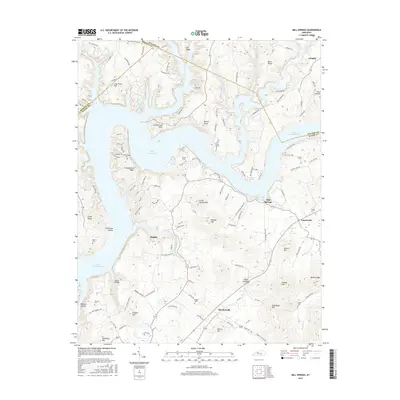 2016 Mill Springs2016 Print · USGSWayne County and southern Pulaski County appear here in the contemporary era, centered on the expansive waters of Lake Cumberland. Researchers can trace local lineage through several family burial grounds like Dodson Cem and Norman Cem near the historic Mill Springs area.
 - 2019 Map of Mill Springs, 2019 Print
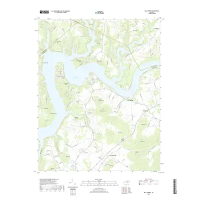 2019 Mill Springs2019 Print · USGSWayne County and the shores of Lake Cumberland are shown here as they appeared in the early twenty-first century. Genealogists can trace family names through landmarks like Sloan Cem, Dodson Cem, and the settlements of Touristville and Mill Springs.
 - 2022 Map of Mill Springs, 2022 Print
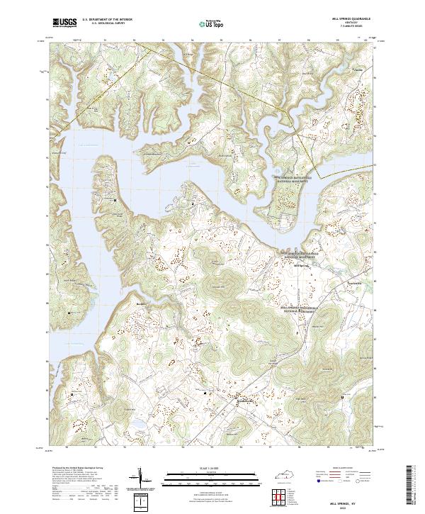 2022 Mill Springs2022 Print · USGSWayne County and the shores of Lake Cumberland are shown here in the 2020s, dominated by Civil War sites. You can trace the boundaries of the Mill Springs Battlefield National Monument or locate family burial grounds like Cumberland Cem and Norman Cem.
End of results
Showing maps 1-12 of 12
Top cities near Touristville
Frequently asked questions
- What are the different types of historical maps available for Touristville?
- What is the oldest map of Touristville?
- Where can I purchase historical maps of Touristville for my home or office?
- Where can I download high-res historical maps of Touristville?
- Are there historical topographic maps available for Touristville?
- Is there historical aerial imagery available for Touristville?
- Where are historical maps of Touristville sourced from?