Old Maps of Windy, Kentucky for Genealogy
Trace your family roots with 10 historic maps of Windy. These high-res maps reveal old neighborhoods, homesites, landmarks, and streets — helping you uncover where your ancestors lived and how the area evolved over time.
- Explore historic neighborhoods: Identify where your relatives may have lived in the 1800s or 1900s.
- Compare maps over time: Trace the changes in streets, buildings, and landmarks for multi-generational research.
- Perfect for genealogy & ancestry research: Used by family historians and researchers to map out lineage and migration.
These maps are an incredible resource for exploring your personal connection to Windy's past.
Windy, KY maps
(10)- 1934 Map of Pall Mall
 1934 Pall Mall1934 Print · USGSThe Kentucky-Tennessee borderlands appear in great detail during the late interwar period, showing a landscape of remote mountain hamlets and schools. Genealogists can locate family landmarks such as Edwards Chapel, Slickford, and the Parmley Sch among the cliffs and ridges.
 - 1954 Map of Powersburg, 1955 Print
 1954 Powersburg1955 Print · USGSWayne County highlands in the mid-fifties reveal a network of isolated hollows and ridge-top settlements before modern development changed the rural character. Genealogists can trace family footprints through numerous rural landmarks like Keans Chapel, Sunnybrook Sch, and Dishman Cem.2 unique versions available
 - 1956 Map of Corbin, 1966 Print
 1956 Corbin1966 Print · USGSThe Kentucky and Tennessee borderlands are captured here in the mid-fifties, showing the region's shift toward modern interstate travel and reservoir development. Genealogists and historians can trace old community lines near Albany and Monticello or locate early rail junctions along the Southern and Tennessee Central lines.3 unique versions available
 - 1958 Map of Corbin
 1958 Corbin1958 Print · USGSThe Upper Cumberland borderlands appear in the late 1950s as massive reservoirs and early atomic-era growth reshape the region. Trace family roots and vanished landmarks near Lake Cumberland, Oak Ridge, and the Cumberland National Forest.
 - 1981 Map of Corbin, 1984 Print
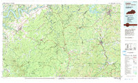 1981 Corbin1984 Print · USGSThe Kentucky and Tennessee borderlands in the early eighties were characterized by coal towns and deep mountain ridges. Trace family history or rail routes through Stearns, Williamsburg, and the mining settlements near Jellico Mountain along the L & N RR.
 - 2010 Map of Powersburg, 2010 Print
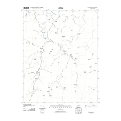 2010 Powersburg2010 Print · USGSWayne County's rural uplands are shown in detail during the early 21st century, centered on the Otter Creek drainage. Local historians can locate family burial grounds like Catron Cemetery and Morgan Cemetery or trace old routes through Slickford and Jimtown.
 - 2013 Map of Powersburg, 2013 Print
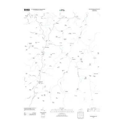 2013 Powersburg2013 Print · USGSWayne County’s rural highlands come into focus in the early 21st century, revealing a landscape where family lineages are tied to specific hollows and ridges. Genealogists can trace family footprints through dozens of local sites like Huffaker Bridgeman Cem, Sunnybrook, and the Oil Well Hole.
 - 2016 Map of Powersburg, 2016 Print
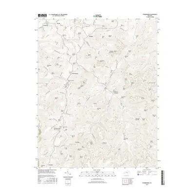 2016 Powersburg2016 Print · USGSWayne County's uplands are meticulously detailed in this mid-2010s survey, showing a landscape defined by small hamlets and family-named ridges. Genealogists and historians can trace numerous remote burial grounds and settlements, including Buck Graveyard, Sunnybrook, and Hicks-Harmon Cem.
 - 2019 Map of Powersburg, 2019 Print
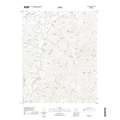 2019 Powersburg2019 Print · USGSThe rural uplands of Wayne County are mapped here in the late twenty-teens, showing a landscape of family-named hollows and ridge-top cemeteries. Genealogists can trace hundreds of years of local history through sites like the Union Baptist Cem, Slickford, and Manning Peercy Cem.
 - 2022 Map of Powersburg, 2022 Print
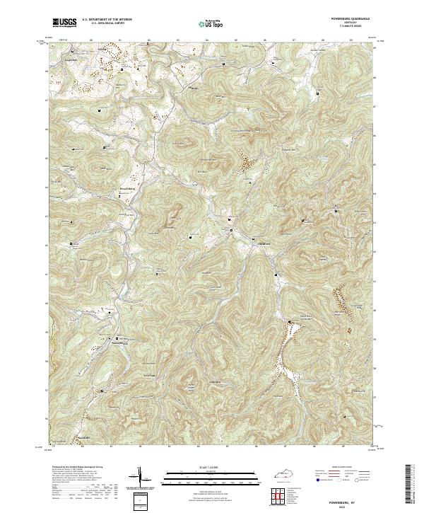 2022 Powersburg2022 Print · USGSWayne County is documented here in its modern state, preserving the legacy of remote upland settlements and old family cemeteries. Genealogists can trace family roots at the Indian Graveyard, Buck Graveyard, or Bertram Cem near Powersburg.
End of results
Showing maps 1-10 of 10
Top cities near Windy
Frequently asked questions
- What are the different types of historical maps available for Windy?
- What is the oldest map of Windy?
- Where can I purchase historical maps of Windy for my home or office?
- Where can I download high-res historical maps of Windy?
- Are there historical topographic maps available for Windy?
- Is there historical aerial imagery available for Windy?
- Where are historical maps of Windy sourced from?