2000s (21st Century) Maps of Dixon, Kentucky
Explore 10 historic maps of Dixon from the 2000s (21st Century). These maps offer a rare glimpse into what life looked like during the 2000s — showing old roads, neighborhoods, homes, and landmarks that have changed or disappeared over time.
Whether you're researching your family's past, planning a metal detecting trip, or studying how Dixon's landscape evolved across the 2000s, these high-resolution maps are a powerful tool for exploring the history of this region.
- Focus on a specific era: All maps on this page are from the 2000s, giving you a focused view of this time period.
- See what’s changed: Compare century-old streets, trails, and buildings to today's modern landscape using overlays and satellite layers.
- Research with precision: Use these maps for genealogy, historical research, land use analysis, or educational projects.
- View, download, or print: Maps are fully viewable online in high resolution, and can be downloaded or printed for your own records.
Start exploring Dixon's history through authentic maps from the 2000s. This is your window into the past.
Dixon, KY maps
(10)- 2010 Map of Nebo, 2010 Print
 2010 Nebo2010 Print · USGSCovers Dixon, including Providence, Nebo, and other nearby areas
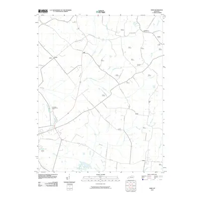
 - 2010 Map of Dixon, 2010 Print
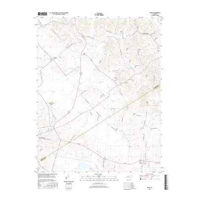
 2010 Dixon2010 Print · USGSCovers Dixon, including Wanamaker, Tilden, and other nearby areas
 - 2013 Map of Dixon, 2013 Print
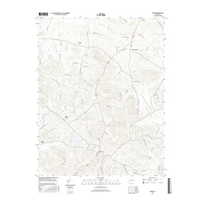
 2013 Dixon2013 Print · USGSCovers Dixon, including Wanamaker, Tilden, and other nearby areas
 - 2013 Map of Nebo, 2013 Print
 2013 Nebo2013 Print · USGSCovers Dixon, including Providence, Nebo, and other nearby areas
 - 2016 Map of Nebo, 2016 Print
 2016 Nebo2016 Print · USGSCovers Dixon, including Providence, Nebo, and other nearby areas
 - 2016 Map of Dixon, 2016 Print
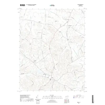
 2016 Dixon2016 Print · USGSCovers Dixon, including Wanamaker, Tilden, and other nearby areas
 - 2019 Map of Dixon, 2019 Print
 2019 Dixon2019 Print · USGSCovers Dixon, including Wanamaker, Tilden, and other nearby areas
 - 2019 Map of Nebo, 2019 Print
 2019 Nebo2019 Print · USGSCovers Dixon, including Providence, Nebo, and other nearby areas
 - 2022 Map of Dixon, 2022 Print
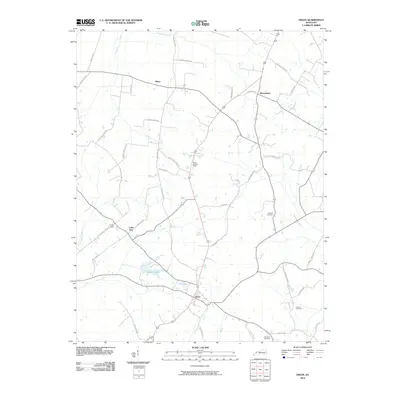
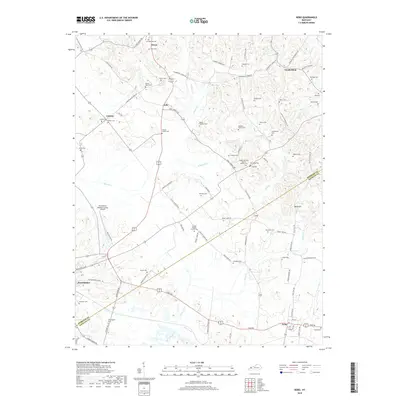
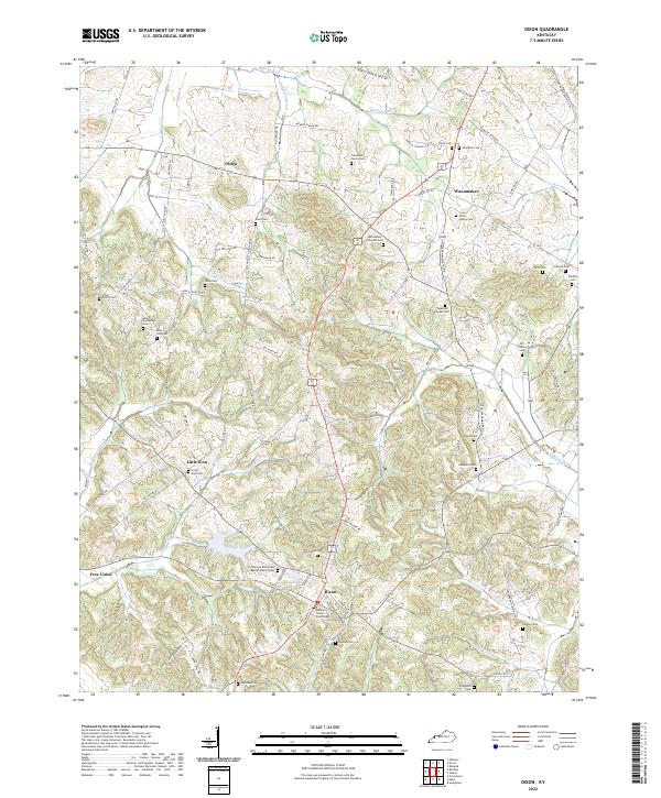 2022 Dixon2022 Print · USGSDixon and its surrounding hamlets are shown here in the early 2020s, revealing a landscape deeply tied to family history and the local seat of government. Researchers can find dozens of burial sites like Tapp and Snipes Cem and the Webster County Courthouse.
 - 2022 Map of Nebo, 2022 Print
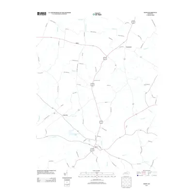
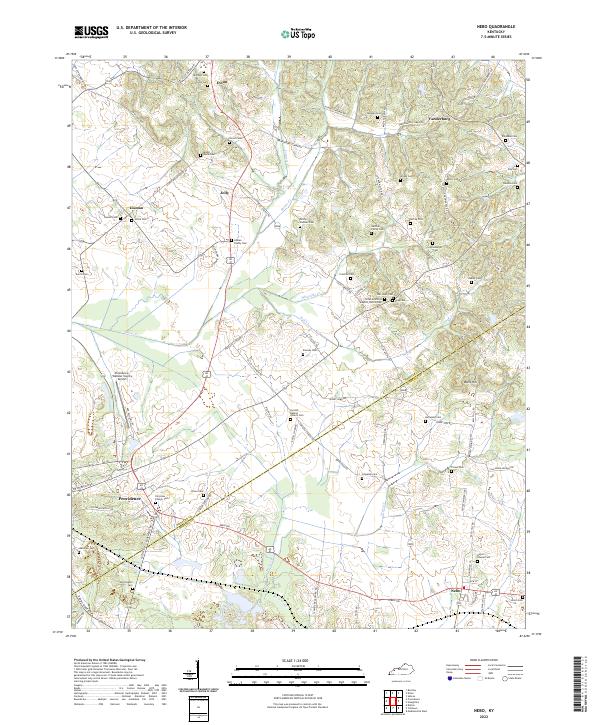 2022 Nebo2022 Print · USGSWestern Kentucky's rural landscape at the junction of Webster and Hopkins counties is shown in modern detail. Genealogists can locate dozens of family burial sites such as McCoy-Gardner Cem and trace the roads connecting Providence and Nebo.
End of results
Showing maps 1-10 of 10
Top cities near Dixon
- Madisonville historical maps
- Providence historical maps
- Morganfield historical maps
- Earlington historical maps
- Sebree historical maps
- Clay historical maps
See more
Frequently asked questions
- What are the different types of historical maps available for Dixon?
- What is the oldest map of Dixon?
- Where can I purchase historical maps of Dixon for my home or office?
- Where can I download high-res historical maps of Dixon?
- Are there historical topographic maps available for Dixon?
- Is there historical aerial imagery available for Dixon?
- Where are historical maps of Dixon sourced from?