Old Maps of Woodford County, Kentucky for Genealogy
Trace your family roots with 70 historic maps of Woodford County. These high-res maps reveal old neighborhoods, homesites, landmarks, and streets — helping you uncover where your ancestors lived and how the area evolved over time.
- Explore historic neighborhoods: Identify where your relatives may have lived in the 1800s or 1900s.
- Compare maps over time: Trace the changes in streets, buildings, and landmarks for multi-generational research.
- Perfect for genealogy & ancestry research: Used by family historians and researchers to map out lineage and migration.
These maps are an incredible resource for exploring your personal connection to Woodford County's past.
Woodford County, KY maps
(70)- 1905 Map of Harrodsburg
 1905 Harrodsburg1905 Print · USGSCentral Kentucky's Bluegrass region is captured here in the early twentieth century, showing a landscape defined by the deep gorges of the Kentucky River. Researchers can trace the era's vital rail networks and river commerce through features like Lock No 7 and the Louisville and Nashville RR.3 unique versions available
 - 1906 Map of Georgetown, 1954 Print
 1906 Georgetown1954 Print · USGSCentral Kentucky at the opening of the twentieth century was a landscape shaped by winding creeks and a dense web of steam rail lines. Local researchers can trace the historic rail corridors of the Southern R R and find early settlements like Paynes Depot and Great Crossing.
 - 1908 Map of Georgetown
 1908 Georgetown1908 Print · USGSCentral Kentucky at the turn of the century reveals a landscape of thriving rail depots and historic turnpikes connecting major county seats. Genealogists and historians can trace the early footprints of Midway, Donerail, and Great Crossing along the winding North Elkhorn Creek.2 unique versions available
 - 1922 Map of Frankfort
 1922 Frankfort1922 Print · USGSCentral Kentucky's river valleys and rolling uplands are captured here in the early twenties, showing a landscape defined by water and rail. Trace family history at Lanes Mill Fox Gap School or follow the river to Youngs High Bridge and Shryocks Ferry.
 - 1924 Map of Frankfort
 1924 Frankfort1924 Print · USGSThe Kentucky River valley and surrounding Bluegrass uplands are documented here during the mid-1920s. Genealogists and researchers can trace rural life through dozens of named district schools and river landmarks like Youngs High Bridge, Lanes Mill, and Shryocks Ferry.2 unique versions available
 - 1952 Map of Keene, 1953 Print
 1952 Keene1953 Print · USGSThe rolling Bluegrass region near the Jessamine and Woodford county lines is captured here in the early fifties. Genealogists and historians can trace the rural communities of Keene and Dixon Town, or locate landmarks like Ebenezer Cem and Clover Bottom Ch.3 unique versions available
 - 1952 Map of Harrodsburg, 1953 Print
 1952 Harrodsburg1953 Print · USGSMercer County's historic core and the surrounding Bluegrass countryside are shown here in the early fifties. Local historians can trace family roots through landmarks like McAfee Sch and New Providence Cem, or explore the grounds of Fort Harrod.
 - 1952 Map of Salvisa, 1953 Print
 1952 Salvisa1953 Print · USGSCentral Kentucky's river-cut uplands are mapped here in the early fifties, showing the deeply entrenched meanders of the Kentucky River. Local historians can trace family sites like Morris Cem and rural centers such as Salvisa, Mortonsville, and Hillsborough Ch.
 - 1952 Map of Wilmore, 1953 Print
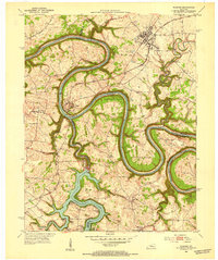 1952 Wilmore1953 Print · USGSThe Jessamine County landscape near the Kentucky River is captured in the early fifties, showing the area's transition into the mid-century era. Genealogists and historians can locate established property patterns near Wilmore and the historic grounds of Shakertown.3 unique versions available
 - 1952 Map of Midway, 1955 Print
 1952 Midway1955 Print · USGSMidway and the surrounding Bluegrass countryside are captured here in the early fifties as the Louisville and Nashville rail line still pulsed through the town center. Researchers can trace the exact locations of Spring Station, the Orphans Sch, and St Francis Mission amidst the winding creeks.
 - 1953 Map of Frankfort East, 1955 Print
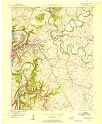 1953 Frankfort East1955 Print · USGSFrankfort and the surrounding bluegrass country are shown in the early fifties as the capital city expanded eastward into the river bluffs. Researchers can locate vanished landmarks like the State Training Home Farm and trace historic routes through Slickway, Stedmantown, and Duckers.
 - 1954 Map of Midway, 1955 Print
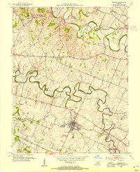 1954 Midway1955 Print · USGSMid-century Woodford and Scott Counties are captured here as a landscape of rail-connected towns and winding creek valleys. Genealogists and researchers can trace local landmarks like the Orphans Sch, the St Francis Mission, and the crossroads at White Sulphur.4 unique versions available
 - 1954 Map of Versailles, 1955 Print
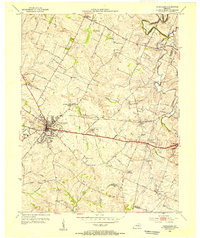 1954 Versailles1955 Print · USGSMid-century Versailles and Woodford County are captured here during a period of steady growth and local industrial activity. Researchers can trace family-named sites and vanished institutions like Hunter Town, Simmons High Sch, and the Phosphate Strip Mine.
 - 1954 Map of Tyrone, 1955 Print
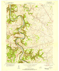 1954 Tyrone1955 Print · USGSThe Kentucky River meanders through Woodford and Anderson counties in the mid-1950s, showing a landscape shaped by water and rail. Trace the historic river crossings and small communities like Tyrone, Milner, and the church at Glenns Creek Ch.
 - 1956 Map of Louisville, 1971 Print
 1956 Louisville1971 Print · USGSThe Ohio River valley and the Kentucky Bluegrass are captured here during a period of rapid mid-century growth and industrial activity. Genealogists and historians can trace rail-centered towns and military land use at Fort Knox and the Jefferson Proving Ground.2 unique versions available
 - 1957 Map of Winchester, 1968 Print
 1957 Winchester1968 Print · USGSCentral Kentucky's landscape in the mid-twentieth century features the sprawling Fort Knox and the early parkway system. Genealogists and historians can trace rail lines like the Southern Railway and find landmarks from Bernheim Forest to Pilot Knob.3 unique versions available
 - 1959 Map of Frankfort East, 1960 Print
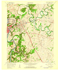 1959 Frankfort East1960 Print · USGSThe Kentucky state capital and its rolling eastern environs are captured here during the growth of the late fifties. Genealogists and local historians can trace suburban development and rural outposts like Stedmantown, Forks of Elkhorn, and Duckers.2 unique versions available
 - 1959 Map of Harrodsburg, 1960 Print
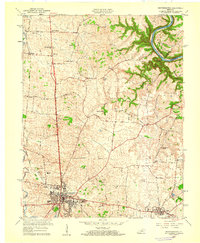 1959 Harrodsburg1960 Print · USGSMercer County at the end of the 1950s shows the growth of Harrodsburg and the surrounding rural settlements. Researchers can trace family sites near New Providence Ch, locate the old McAfee Sch, or find the Drive-in Theater as it stood mid-century.
 - 1960 Map of Winchester
 1960 Winchester1960 Print · USGSCentral Kentucky's diverse landscape is shown here at mid-century, from the bluegrass plains to the rugged Pottsville Escarpment. Genealogists and historians can trace the rail-and-river network connecting towns like Bardstown and Stanford alongside landmarks like Lake Cumberland.
 - 1964 Map of Louisville
 1964 Louisville1964 Print · USGSThe Ohio River valley and Kentucky Bluegrass are captured in the mid-1960s, showing a region balanced between industrial growth and its agrarian roots. Genealogists and historians can trace the development of county seats like Shelbyville and Paris, or locate established institutions such as Georgetown College and Bernheim Forest.
 - 1965 Map of Versailles, 1966 Print
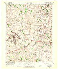 1965 Versailles1966 Print · USGSWoodford County at the mid-century mark shows a landscape of established rail towns and developing parkways. Genealogists and local historians can trace the footprint of family-named landmarks like Steele Cem and early settlements such as Hunter Town and Little Texas.3 unique versions available
 - 1967 Map of Salvisa, 1969 Print
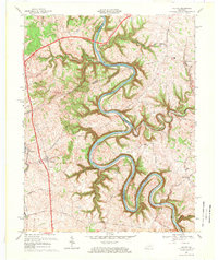 1967 Salvisa1969 Print · USGSThe Kentucky River meanders through the heart of bluegrass country in the late sixties, defining the borders of Mercer and Woodford counties. Genealogists can trace family names at Wilhoyt Cem and Morris Cem, or locate rural landmarks like Hillsborough Ch and the old Nonesuch Sch.2 unique versions available
 - 1967 Map of Tyrone, 1969 Print
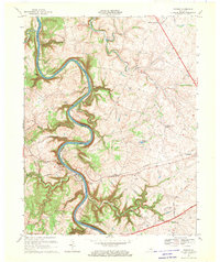 1967 Tyrone1969 Print · USGSThe Kentucky River valley in the late sixties reveals a landscape of industrial river bends and growing Bluegrass towns. Genealogists and historians can trace family-named routes like McConnells Ferry Road and locate rural landmarks such as Pintsville Ch and Lock No 5.2 unique versions available
 - 1967 Map of Harrodsburg, 1970 Print
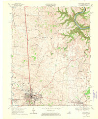 1967 Harrodsburg1970 Print · USGSMercer County is captured here in the late sixties, centered on the growing town of Harrodsburg and the Kentucky River. Researchers can trace family homesteads near New Providence Ch, Burgin, and the river landing at Mundys Landing.3 unique versions available
 - 1970 Map of Frankfort East, 1972 Print
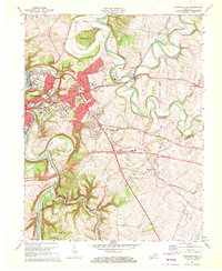 1970 Frankfort East1972 Print · USGSFrankfort and the surrounding Bluegrass region are captured here in the early seventies as the capital city expanded along the Kentucky River. Researchers can trace historic institutions and rural landmarks from Ky State College and the Penitentiary to the Forks of Elkhorn Ch.6 unique versions available
Showing maps 1-25 of 70
Top cities of Woodford County
Frequently asked questions
- What are the different types of historical maps available for Woodford County?
- What is the oldest map of Woodford County?
- Where can I purchase historical maps of Woodford County for my home or office?
- Where can I download high-res historical maps of Woodford County?
- Are there historical topographic maps available for Woodford County?
- Is there historical aerial imagery available for Woodford County?
- Where are historical maps of Woodford County sourced from?