2020s Maps of Rayne, Louisiana
Explore 8 historic maps of Rayne from the 2020s. These maps offer a rare glimpse into what life looked like during the 2020s — showing old roads, neighborhoods, homes, and landmarks that have changed or disappeared over time.
Whether you're researching your family's past, planning a metal detecting trip, or studying how Rayne's landscape evolved across the 2020s, these high-resolution maps are a powerful tool for exploring the history of this region.
- Focus on a specific era: All maps on this page are from the 2020s, giving you a focused view of this time period.
- See what’s changed: Compare century-old streets, trails, and buildings to today's modern landscape using overlays and satellite layers.
- Research with precision: Use these maps for genealogy, historical research, land use analysis, or educational projects.
- View, download, or print: Maps are fully viewable online in high resolution, and can be downloaded or printed for your own records.
Start exploring Rayne's history through authentic maps from the 2020s. This is your window into the past.
Rayne, LA maps
(8)- 2020 Map of Mire, 2020 Print
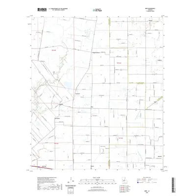 2020 Mire2020 Print · USGSCovers Rayne, including Scott, Duson, and other nearby areas
 - 2020 Map of Branch, 2020 Print
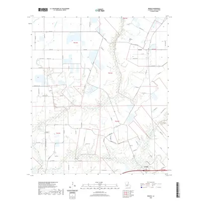 2020 Branch2020 Print · USGSCovers Rayne, including Roberts Cove, Branch, and other nearby areas
 - 2020 Map of Crowley East, 2020 Print
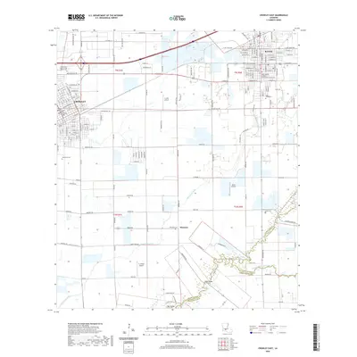 2020 Crowley East2020 Print · USGSCovers Rayne, including Crowley, Ebenezer, and other nearby areas
 - 2020 Map of Duson, 2020 Print
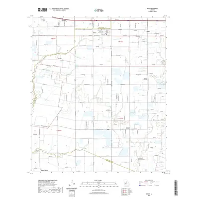 2020 Duson2020 Print · USGSCovers Rayne, including Scott, Duson, and other nearby areas
 - 2024 Map of Crowley East, 2024 Print
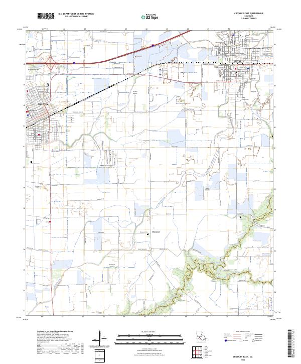 2024 Crowley East2024 Print · USGSAcadia Parish at the start of the 2020s shows the enduring agricultural and civic foundations of the Louisiana prairie. Genealogists can trace family names through the Independent Order of Odd Fellows Cem and the small settlement of Ebenezer.
 - 2024 Map of Branch, 2024 Print
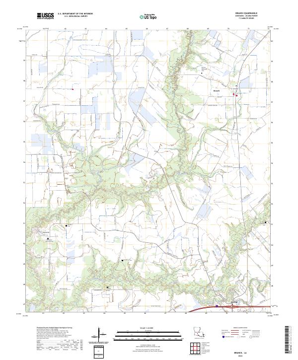 2024 Branch2024 Print · USGSAcadia Parish and the rural community of Branch are seen here in the mid-2020s, showing a landscape defined by agricultural drainage and family homesteads. Genealogists can trace local heritage through numerous burial sites like Branch Methodist Cem and Hookman Cem.
 - 2024 Map of Duson, 2024 Print
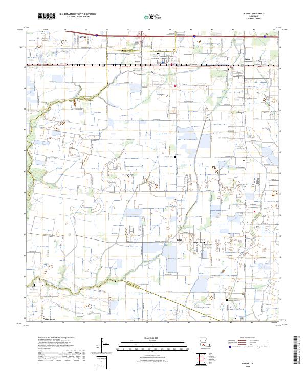 2024 Duson2024 Print · USGSDuson and the surrounding Acadiana parishes are captured here in the early twenty-first century, showcasing a landscape of prairie bayous and crossroads settlements. You can trace family history at sites like Saint Basil Cem or follow the winding path of Bayou Queue de Tortue.
 - 2024 Map of Mire, 2024 Print
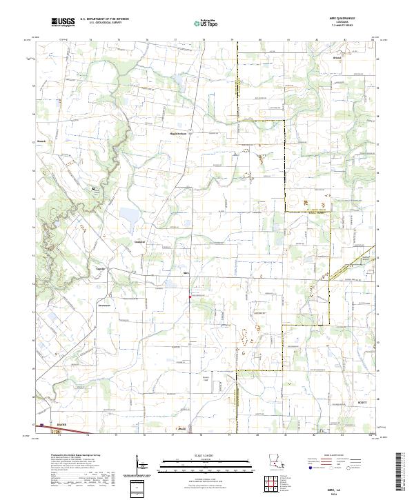 2024 Mire2024 Print · USGSAcadia Parish in the early 2020s remains a landscape of small prairie settlements and winding waterways. Researchers can trace family roots through communities like Mire and Higginbotham or locate the Mount Calvary Cem near Bayou Wikoff.
End of results
Showing maps 1-8 of 8
Top cities near Rayne
- Lafayette historical maps
- Opelousas historical maps
- Crowley historical maps
- Eunice historical maps
- Scott historical maps
- Carencro historical maps
See more
Top neighborhoods of Rayne
Frequently asked questions
- What are the different types of historical maps available for Rayne?
- What is the oldest map of Rayne?
- Where can I purchase historical maps of Rayne for my home or office?
- Where can I download high-res historical maps of Rayne?
- Are there historical topographic maps available for Rayne?
- Is there historical aerial imagery available for Rayne?
- Where are historical maps of Rayne sourced from?