Old Maps of Richard, Louisiana for Genealogy
Trace your family roots with 11 historic maps of Richard. These high-res maps reveal old neighborhoods, homesites, landmarks, and streets — helping you uncover where your ancestors lived and how the area evolved over time.
- Explore historic neighborhoods: Identify where your relatives may have lived in the 1800s or 1900s.
- Compare maps over time: Trace the changes in streets, buildings, and landmarks for multi-generational research.
- Perfect for genealogy & ancestry research: Used by family historians and researchers to map out lineage and migration.
These maps are an incredible resource for exploring your personal connection to Richard's past.
Richard, LA maps
(11)- 1947 Map of Pitreville
 1947 Pitreville1947 Print · USGSLouisiana's Acadia and St. Landry parishes are captured here in the mid-1940s, showing a rural landscape shaped by winding bayous and early highways. Genealogists and local historians can locate family landmarks like Courville Cem, Hundley Sch, and the Acadia Academy.
 - 1952 Map of Lake Charles
 1952 Lake Charles1952 Print · USGSSouthwest Louisiana is captured here in the mid-fifties, showing a landscape defined by the rise of the petrochemical industry and deep-water navigation. Researchers can trace family roots through numerous small-town settlements and oil developments like Nibletts Bluff, the Lockport Oil Field, and Starks.
 - 1954 Map of Lake Charles, 1964 Print
 1954 Lake Charles1964 Print · USGSSouthwest Louisiana in the mid-fifties is defined by its massive petroleum industry and its complex network of bayous and rail lines. Researchers can trace the development of the Sulphur Mines Oil Field or locate historic settlements like Longville and De Quincy.3 unique versions available
 - 1959 Map of Eunice, 1960 Print
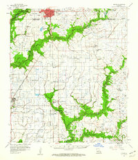 1959 Eunice1960 Print · USGSThe Acadia Parish prairie comes to life in the late fifties as a hub of petroleum and rail activity. Genealogists and local historians can locate many rural landmarks including Acadia Academy, Maxie Church, and family cemeteries like Savoy and Hebert.3 unique versions available
 - 1983 Map of Richard
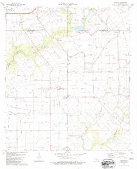 1983 Richard1983 Print · USGSThe Acadia and St. Landry Parish line comes into focus in the early 1980s, showcasing a landscape of oil fields and prairie farms. Genealogists can locate family landmarks like Pitreville, the Acadia Academy, and Mt Calvary Cem.
 - 1985 Map of Crowley, 1986 Print
 1985 Crowley1986 Print · USGSCoastal prairie and bayou country are captured in the mid-eighties as the rice-and-rail economy defined South Louisiana life. Genealogists and researchers can trace family lands and rural hubs from Crowley to Jennings, following the paths of the Southern Pacific Railroad and the winding Mermentau River.2 unique versions available
 - 2012 Map of Richard, 2012 Print
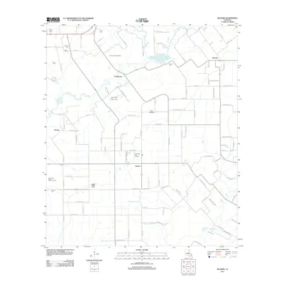 2012 Richard2012 Print · USGSAcadia Parish at the start of the 2010s reveals a landscape of enduring family settlements and oil fields. Genealogists can locate family-named burial grounds like Courtville Cem and Mowata Cem while tracing the local water systems of Bayou Mallet.
 - 2015 Map of Richard, 2015 Print
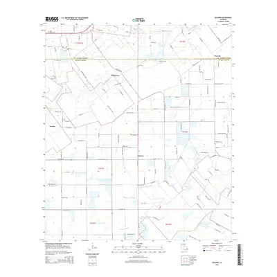 2015 Richard2015 Print · USGSAcadia and St. Landry Parishes appear here in the mid-2010s, showing a traditional Louisiana prairie landscape structured by agriculture and family landholdings. Researchers can locate numerous local burial grounds like Mowata Cem and Francois Cem or trace the drainages of Bayou Mallet.
 - 2018 Map of Richard, 2018 Print
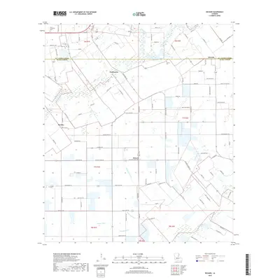 2018 Richard2018 Print · USGSLouisiana's Acadia Parish and St. Landry Parish meet in this 2018 survey of rural prairie and agricultural settlements. Researchers can trace local genealogy through numerous burial sites like Mount Calvary Cem and Mowata Cem, or locate family landmarks near Pitreville and Richard.
 - 2020 Map of Richard, 2020 Print
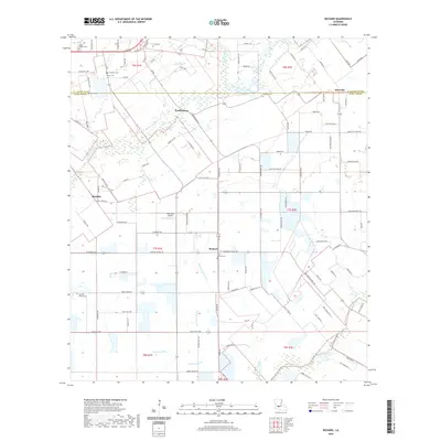 2020 Richard2020 Print · USGSAcadia and St. Landry Parishes appear in detail just after the turn of the twenty-first century, showing a landscape defined by prairies and bayous. Genealogists can trace family connections through numerous sites like Mount Calvary Cemetery, Francois Cemetery, and the community of Richard.
 - 2024 Map of Richard, 2024 Print
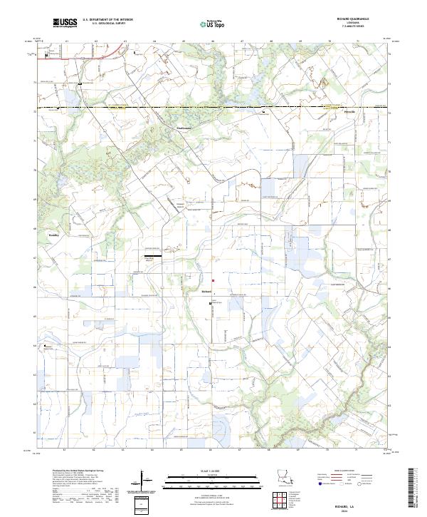 2024 Richard2024 Print · USGSThe Acadia and St. Landry Parish line comes into focus in this contemporary study of Louisiana's prairie country. Genealogists and local historians can locate family-named sites like Fruge Cem, Pitreville, and the waters of Blaise Lejeune Gully.
End of results
Showing maps 1-11 of 11
Top cities near Richard
- Lafayette historical maps
- Opelousas historical maps
- Crowley historical maps
- Eunice historical maps
- Rayne historical maps
- Scott historical maps
See more
Frequently asked questions
- What are the different types of historical maps available for Richard?
- What is the oldest map of Richard?
- Where can I purchase historical maps of Richard for my home or office?
- Where can I download high-res historical maps of Richard?
- Are there historical topographic maps available for Richard?
- Is there historical aerial imagery available for Richard?
- Where are historical maps of Richard sourced from?