Old Maps of Bel, Louisiana for Academic Research
Study the evolution of Bel with 11 high-resolution historic maps. Whether you're teaching, researching, or modeling changes in land use, these maps provide essential visual documentation of urban, environmental, and geographic change.
- Analyze long-term change: Track patterns in development, transportation, and natural features.
- Ideal for environmental or urban studies: Support academic projects with primary historical map data.
- Use in the classroom or lab: Educators and researchers rely on these maps to bring historical context to life.
These maps are a powerful tool for teaching, research, and visualizing how Bel has changed over the decades.
Bel, LA maps
(11)- 1947 Map of Reeves
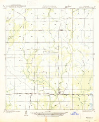 1947 Reeves1947 Print · USGSAllen Parish and the surrounding piney woods come into focus during the late 1940s, highlighting the area's transition from timber territory to a rail-connected hub. Researchers can trace the path of the Old Logging Railroad Grade near the settlements of Bel and Reeves.
 - 1952 Map of Lake Charles
 1952 Lake Charles1952 Print · USGSSouthwest Louisiana is captured here in the mid-fifties, showing a landscape defined by the rise of the petrochemical industry and deep-water navigation. Researchers can trace family roots through numerous small-town settlements and oil developments like Nibletts Bluff, the Lockport Oil Field, and Starks.
 - 1954 Map of Lake Charles, 1964 Print
 1954 Lake Charles1964 Print · USGSSouthwest Louisiana in the mid-fifties is defined by its massive petroleum industry and its complex network of bayous and rail lines. Researchers can trace the development of the Sulphur Mines Oil Field or locate historic settlements like Longville and De Quincy.3 unique versions available
 - 1961 Map of Reeves, 1963 Print
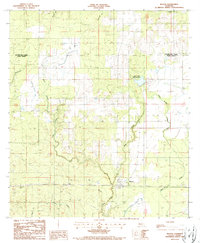
 1961 Reeves1963 Print · USGSSouthwest Louisiana in the early sixties reveals a landscape of growing petroleum production and established rail junctions. Genealogists and local historians can trace family locations near Longville, Reeves, and Fulton, or find old landmarks like Magnolia Ch and Frusha Cem.2 unique versions available
 - 1986 Map of DeRidder
 1986 DeRidder1986 Print · USGSThe Louisiana-Texas borderlands come to life in the mid-eighties, showcasing the timber country and rail corridors of the Sabine River valley. Researchers can trace the legacy of small communities and transit lines through Merryville, Holly Springs, and the Missouri Pacific railroad.2 unique versions available
 - 1986 Map of Reeves, 1987 Print
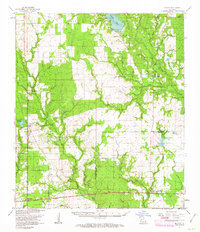
 1986 Reeves1987 Print · USGSLouisiana's western piney woods are captured here in the mid-1980s, centered on the communities of Reeves and Bel. Genealogists and local historians can trace the landscape's features from the Bel Lookout Tower to the banks of Clear Creek and Cane Brake Creek.
 - 2012 Map of Reeves, 2012 Print
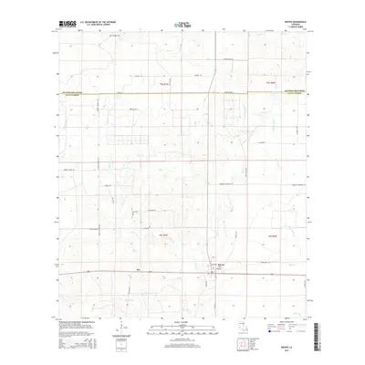
 2012 Reeves2012 Print · USGSCovers Bel, including Reeves, Beauregard Parish, and other nearby areas
 - 2015 Map of Reeves, 2015 Print
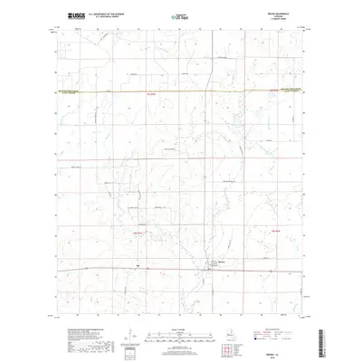
 2015 Reeves2015 Print · USGSCovers Bel, including Reeves, Beauregard Parish, and other nearby areas
 - 2018 Map of Reeves, 2018 Print
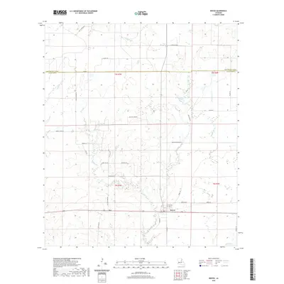
 2018 Reeves2018 Print · USGSCovers Bel, including Reeves, Beauregard Parish, and other nearby areas
 - 2020 Map of Reeves, 2020 Print
 2020 Reeves2020 Print · USGSCovers Bel, including Reeves, Beauregard Parish, and other nearby areas
 - 2024 Map of Reeves, 2024 Print
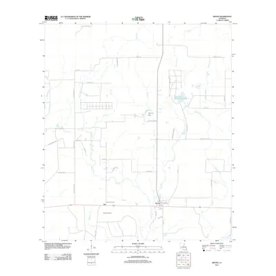
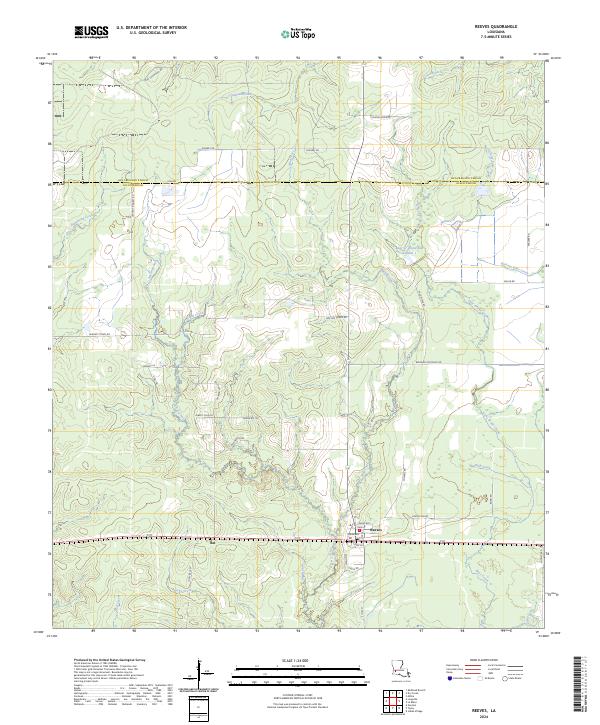 2024 Reeves2024 Print · USGSReeves and the surrounding piney woods of Allen Parish are shown in detail during the early twenty-first century. Genealogists and local historians can trace family-named routes like Kingrey Rd and Perkins Ln near settlements like Bel and Kingery.
End of results
Showing maps 1-11 of 11
Top cities near Bel
Frequently asked questions
- What are the different types of historical maps available for Bel?
- What is the oldest map of Bel?
- Where can I purchase historical maps of Bel for my home or office?
- Where can I download high-res historical maps of Bel?
- Are there historical topographic maps available for Bel?
- Is there historical aerial imagery available for Bel?
- Where are historical maps of Bel sourced from?