Old Maps of Pierre Part, Louisiana for Academic Research
Study the evolution of Pierre Part with 12 high-resolution historic maps. Whether you're teaching, researching, or modeling changes in land use, these maps provide essential visual documentation of urban, environmental, and geographic change.
- Analyze long-term change: Track patterns in development, transportation, and natural features.
- Ideal for environmental or urban studies: Support academic projects with primary historical map data.
- Use in the classroom or lab: Educators and researchers rely on these maps to bring historical context to life.
These maps are a powerful tool for teaching, research, and visualizing how Pierre Part has changed over the decades.
Pierre Part, LA maps
(12)- 1945 Map of New Orleans
 1945 New Orleans1945 Print · USGSCoastal Louisiana and the Mississippi delta are captured here just after the war, showing the region's transition into a modern industrial and transit hub. Genealogists can trace family settlements along Bayou Teche or identify rail stops for the Illinois Central and Texas & Pacific lines.
 - 1953 Map of Napoleonville
 1953 Napoleonville1953 Print · USGSAssumption Parish sugar plantations and the emerging oil industry define this mid-century landscape. Researchers can trace historic family landholdings like Little Texas Plantation or follow the rail lines through Napoleonville and Paincourtville.2 unique versions available
 - 1963 Map of New Orleans
 1963 New Orleans1963 Print · USGSCoastal Louisiana in the mid-twentieth century reveals a complex world of bayou settlements, expanding oil fields, and vital rail networks. Genealogists and historians can trace family roots through river towns like Thibodaux or follow the Southern Pacific line through Franklin and Patterson.4 unique versions available
 - 1966 Map of New Orleans
 1966 New Orleans1966 Print · USGSCoastal Louisiana in the mid-1960s reveals a transition from traditional bayou life to an intensive offshore oil and gas economy. Researchers can trace the rail lines of the Southern Pacific RR through Morgan City or locate the Eugene Island Lighthouse among the delta's shifting marshes.
 - 1966 Map of Pierre Part, 1967 Print
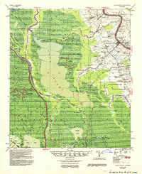
 1966 Pierre Part1967 Print · USGSAssumption Parish and the Atchafalaya basin come into sharp focus during the mid-sixties, showing the intricate balance of swamp life and industrial expansion. Trace the bayou-side developments of Pierre Part and Belle River, or locate family landmarks like Sacred Heart Ch and Graveyard Island.3 unique versions available
 - 1967 Map of Napoleonville, 1969 Print
 1967 Napoleonville1969 Print · USGSThe Louisiana bayous and wetlands of Assumption and St. Martin Parishes are captured here in the late sixties during a period of transition for the oil and gas industries. Genealogists and historians can trace family-named settlements like Stephenville and Pierre Part or locate St. Benedict School and the Sacred Heart Church.
 - 1983 Map of Morgan City
 1983 Morgan City1983 Print · USGSThe Louisiana coast in the early eighties reveals a landscape shaped by water and industry, from the salt domes to the sugar parishes. Trace the historic corridor of the Bayou Teche, the rail lines through Morgan City, and the wetlands of Weeks Island.2 unique versions available
 - 2012 Map of Pierre Part, 2012 Print
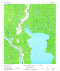
 2012 Pierre Part2012 Print · USGSCovers Pierre Part, including Belle River, Saint Martin Parish, and other nearby areas
 - 2015 Map of Pierre Part, 2015 Print
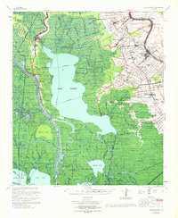
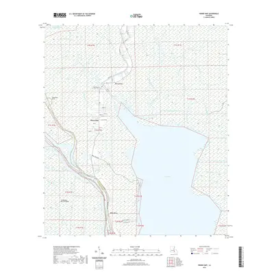
 2015 Pierre Part2015 Print · USGSCovers Pierre Part, including Belle River, Saint Martin Parish, and other nearby areas
 - 2018 Map of Pierre Part, 2018 Print
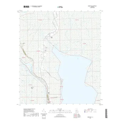 2018 Pierre Part2018 Print · USGSCovers Pierre Part, including Belle River, Saint Martin Parish, and other nearby areas
 - 2020 Map of Pierre Part, 2020 Print
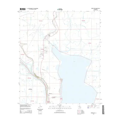
 2020 Pierre Part2020 Print · USGSCovers Pierre Part, including Belle River, Saint Martin Parish, and other nearby areas
 - 2024 Map of Pierre Part, 2024 Print
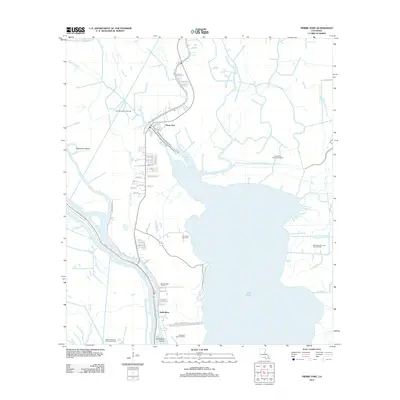
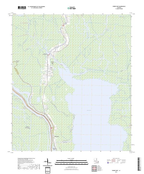 2024 Pierre Part2024 Print · USGSAssumption Parish at the edge of the Atchafalaya Basin is mapped here in its modern configuration, showing the intricate water-bound life of Pierre Part. Genealogists and researchers can trace local landmarks like Saint Joseph the Worker Cem, Population Bend, and the banks of Lake Verret.
End of results
Showing maps 1-12 of 12
Top cities near Pierre Part
Frequently asked questions
- What are the different types of historical maps available for Pierre Part?
- What is the oldest map of Pierre Part?
- Where can I purchase historical maps of Pierre Part for my home or office?
- Where can I download high-res historical maps of Pierre Part?
- Are there historical topographic maps available for Pierre Part?
- Is there historical aerial imagery available for Pierre Part?
- Where are historical maps of Pierre Part sourced from?