Old Maps of Cottonport, Louisiana for Metal Detecting
Plan your next treasure hunt with 22 historic maps of Cottonport. Find old homesites, ghost towns, trails, and gathering spots that may be lost to time — perfect for identifying promising metal detecting locations.
- Locate forgotten sites: Uncover places like long-lost settlements, abandoned rail lines, or gathering spots.
- Plan better hunts: Use map overlays combined with LiDAR or satellite views to narrow in on historically rich areas.
- Made for detectorists: Thousands of hobbyists use these maps to discover relics, coins, and hidden history.
Use these historic maps to boost your research and find new opportunities beneath the surface of Cottonport.
Cottonport, LA maps
(22)- 1940 Map of Marksville, 1943 Print
 1940 Marksville1943 Print · USGSAvoyelles Parish life in the early 1940s is centered on the river-and-rail economy of the Red River valley. Genealogists and historians can trace family locations through numerous named churches and schools, such as Hickory Hill Sch, Vick, and the St Paul Ch & Cem.2 unique versions available
 - 1948 Map of Bunkie, 1950 Print
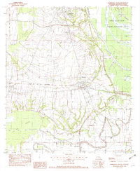
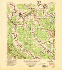 1948 Bunkie1950 Print · USGSThe Bunkie area during the late 1940s reveals a landscape defined by Bayou Boeuf and a dense network of early oil infrastructure. Genealogists can trace family roots through numerous rural landmarks like St Lukes Ch & Cem and the Goudeau Sch.
 - 1952 Map of Lake Charles
 1952 Lake Charles1952 Print · USGSSouthwest Louisiana is captured here in the mid-fifties, showing a landscape defined by the rise of the petrochemical industry and deep-water navigation. Researchers can trace family roots through numerous small-town settlements and oil developments like Nibletts Bluff, the Lockport Oil Field, and Starks.
 - 1953 Map of Alexandria, 1963 Print
 1953 Alexandria1963 Print · USGSCentral Louisiana during the early fifties is mapped here at the intersection of the piney woods and the Red River valley. Genealogists and historians can trace the rail-and-river network connecting towns like Alexandria, Natchitoches, and the grounds of Camp Beauregard.3 unique versions available
 - 1954 Map of Lake Charles, 1964 Print
 1954 Lake Charles1964 Print · USGSSouthwest Louisiana in the mid-fifties is defined by its massive petroleum industry and its complex network of bayous and rail lines. Researchers can trace the development of the Sulphur Mines Oil Field or locate historic settlements like Longville and De Quincy.3 unique versions available
 - 1955 Map of Alexandria
 1955 Alexandria1955 Print · USGSCentral Louisiana in the mid-fifties is a landscape of river-port cities, sprawling timberlands, and massive military reservations. Genealogists and historians can trace the rail networks of the Texas & Pacific RR and locate sites like Camp Polk Military Reservation and Natchitoches.
 - 1962 Map of Marksville, 1964 Print
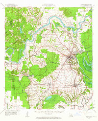 1962 Marksville1964 Print · USGSAvoyelles Parish in the early sixties remains a landscape shaped by river bends and rail lines before the modern highway era. Genealogists and historians can trace family locations near St Pauls Ch, Waddill Cem, and the historic Indian Mounds outside Marksville.3 unique versions available
 - 1966 Map of Cottonport, 1967 Print
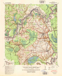
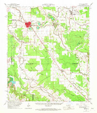
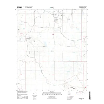
 1966 Cottonport1967 Print · USGSMid-century Avoyelles Parish centers on the rail and bayou networks surrounding Cottonport and Evergreen. Researchers can trace rural church history at Old Zion Ch and New Light Ch or explore the landscape around Big Buttonwood Lake.3 unique versions available
 - 1966 Map of Bunkie, 1967 Print
 1966 Bunkie1967 Print · USGSBunkie and the surrounding bayou country are captured in the mid-1960s as the regional rail and oil economies flourished. Genealogists can locate family landmarks like Lincoln Sch, Snowden Cem, and the Morning Star Ch Cem near Evergreen.
 - 1982 Map of Marksville South
 1982 Marksville South1982 Print · USGSCentral Avoyelles Parish in the early eighties shows a landscape deeply tied to its water bodies and rail lines. Trace family roots and local history through St Joseph Cem, the Kansas City Southern railroad, and the wetland reaches of Spring Bayou.2 unique versions available
 - 1986 Map of Ville Platte
 1986 Ville Platte1986 Print · USGSCentral Louisiana in the 1980s reveals a complex landscape of pine forests and bayou networks spanning seven distinct parishes. Researchers can trace historic rail lines like the Atchison Topeka and Santa Fe RR and locate settlements such as Simmons Settlement, Redland, and Elizabeth.2 unique versions available
 - 1986 Map of Alexandria
 1986 Alexandria1986 Print · USGSCentral Louisiana in the mid-eighties shows a landscape of strategic military installations and deep river-valley agriculture. Researchers can trace the footprints of England Air Force Base, Camp Beauregard, and the extensive Kisatchie National Forest.2 unique versions available
 - 2012 Map of Cottonport, 2012 Print
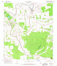
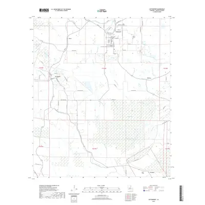
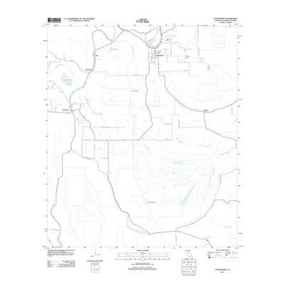 2012 Cottonport2012 Print · USGSCovers Cottonport, including Evergreen, Hickory, and other nearby areas
 - 2012 Map of Marksville South, 2012 Print
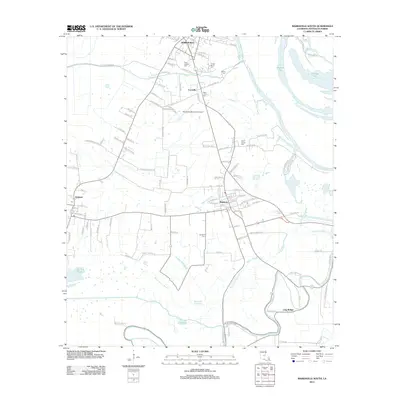 2012 Marksville South2012 Print · USGSCovers Cottonport, including Marksville, Mansura, and other nearby areas
 - 2015 Map of Marksville South, 2015 Print
 2015 Marksville South2015 Print · USGSCovers Cottonport, including Marksville, Mansura, and other nearby areas
 - 2015 Map of Cottonport, 2015 Print
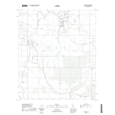
 2015 Cottonport2015 Print · USGSCovers Cottonport, including Evergreen, Hickory, and other nearby areas
 - 2018 Map of Marksville South, 2018 Print
 2018 Marksville South2018 Print · USGSCovers Cottonport, including Marksville, Mansura, and other nearby areas
 - 2018 Map of Cottonport, 2018 Print
 2018 Cottonport2018 Print · USGSCovers Cottonport, including Evergreen, Hickory, and other nearby areas
 - 2020 Map of Cottonport, 2020 Print
 2020 Cottonport2020 Print · USGSCovers Cottonport, including Evergreen, Hickory, and other nearby areas
 - 2020 Map of Marksville South, 2020 Print
 2020 Marksville South2020 Print · USGSCovers Cottonport, including Marksville, Mansura, and other nearby areas
 - 2024 Map of Cottonport, 2024 Print
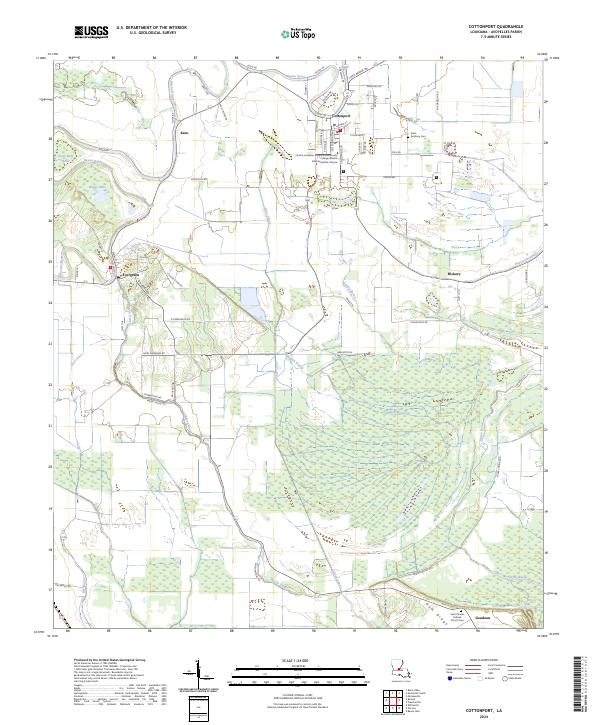 2024 Cottonport2024 Print · USGSAvoyelles Parish life in the current era centers on Cottonport and the surrounding wetland systems of Spring Bayou. Researchers can trace local genealogy at Saint Anthony Cem or explore the landscape around Evergreen and Karo.
 - 2024 Map of Marksville South, 2024 Print
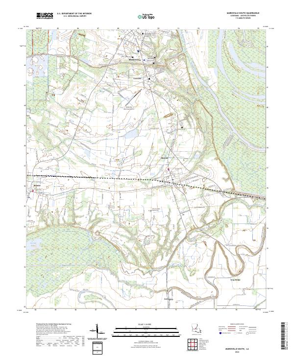 2024 Marksville South2024 Print · USGSAvoyelles Parish enters the mid-2020s with its deep French heritage and bayou-driven geography clearly visible across the Marksville area. Researchers can trace family history through sites like Tunica-Biloxi Cem or explore the wetlands of Lac aux Perles.
End of results
Showing maps 1-22 of 22
Top cities near Cottonport
- Marksville historical maps
- Bunkie historical maps
- Simmesport historical maps
- Mansura historical maps
- Moreauville historical maps
- Hessmer historical maps
See more
Frequently asked questions
- What are the different types of historical maps available for Cottonport?
- What is the oldest map of Cottonport?
- Where can I purchase historical maps of Cottonport for my home or office?
- Where can I download high-res historical maps of Cottonport?
- Are there historical topographic maps available for Cottonport?
- Is there historical aerial imagery available for Cottonport?
- Where are historical maps of Cottonport sourced from?