Old Maps of Longville, Louisiana for Genealogy
Trace your family roots with 13 historic maps of Longville. These high-res maps reveal old neighborhoods, homesites, landmarks, and streets — helping you uncover where your ancestors lived and how the area evolved over time.
- Explore historic neighborhoods: Identify where your relatives may have lived in the 1800s or 1900s.
- Compare maps over time: Trace the changes in streets, buildings, and landmarks for multi-generational research.
- Perfect for genealogy & ancestry research: Used by family historians and researchers to map out lineage and migration.
These maps are an incredible resource for exploring your personal connection to Longville's past.
Longville, LA maps
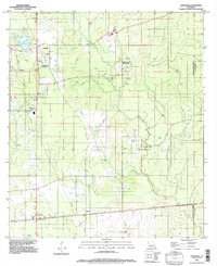
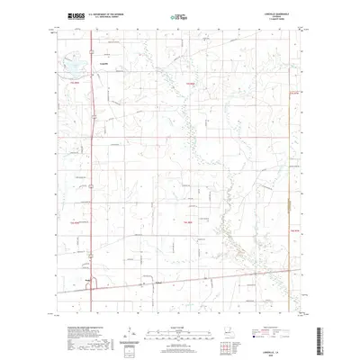
(13)- 1935 Map of Longville
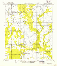 1935 Longville1935 Print · USGSLouisiana's timber country comes to life in the 1930s as logging railroads and spurs weave through the forests of Beauregard and Allen Parishes. Researchers can trace the development of Longville and find local landmarks like Center Ridge Ch and Kernan Sch.
 - 1947 Map of Longville
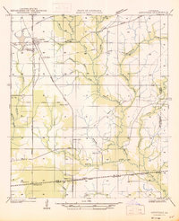 1947 Longville1947 Print · USGSThe timber-rich corridor of Beauregard Parish is captured here during the 1930s, when logging infrastructure and rural rail spurs defined the local economy. Genealogists and historians can trace family locations near Longville, Magnolia Ch, and the Kernan Sch.
 - 1952 Map of Lake Charles
 1952 Lake Charles1952 Print · USGSSouthwest Louisiana is captured here in the mid-fifties, showing a landscape defined by the rise of the petrochemical industry and deep-water navigation. Researchers can trace family roots through numerous small-town settlements and oil developments like Nibletts Bluff, the Lockport Oil Field, and Starks.
 - 1954 Map of Lake Charles, 1964 Print
 1954 Lake Charles1964 Print · USGSSouthwest Louisiana in the mid-fifties is defined by its massive petroleum industry and its complex network of bayous and rail lines. Researchers can trace the development of the Sulphur Mines Oil Field or locate historic settlements like Longville and De Quincy.3 unique versions available
 - 1961 Map of Reeves, 1963 Print
 1961 Reeves1963 Print · USGSSouthwest Louisiana in the early sixties reveals a landscape of growing petroleum production and established rail junctions. Genealogists and local historians can trace family locations near Longville, Reeves, and Fulton, or find old landmarks like Magnolia Ch and Frusha Cem.2 unique versions available
 - 1986 Map of DeRidder
 1986 DeRidder1986 Print · USGSThe Louisiana-Texas borderlands come to life in the mid-eighties, showcasing the timber country and rail corridors of the Sabine River valley. Researchers can trace the legacy of small communities and transit lines through Merryville, Holly Springs, and the Missouri Pacific railroad.2 unique versions available
 - 1986 Map of Longville
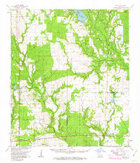
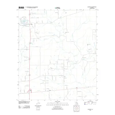
 1986 Longville1986 Print · USGSThe Beauregard Parish lowlands near the Allen Parish line are captured in the mid-1980s, revealing a landscape of rural communities and energy infrastructure. Researchers can trace the development of Longville, Fulton, and Ragley alongside the Oil Refinery and winding Barnes Creek.
 - 1994 Map of Longville, 1997 Print
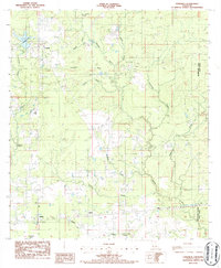
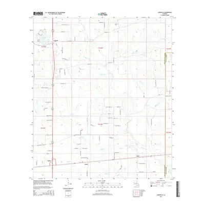
 1994 Longville1997 Print · USGSThe piney woods of Beauregard Parish are captured in the mid-1990s as a landscape of gas infrastructure and rural crossroads. Genealogists and historians can locate small settlements like Edith and Burnett or trace the waters of Longville Lake.
 - 2012 Map of Longville, 2012 Print
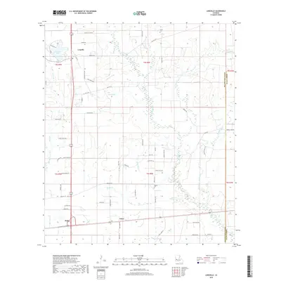
 2012 Longville2012 Print · USGSCovers Longville, including Fulton, Ragley, and other nearby areas
 - 2015 Map of Longville, 2015 Print
 2015 Longville2015 Print · USGSCovers Longville, including Fulton, Ragley, and other nearby areas
 - 2018 Map of Longville, 2018 Print
 2018 Longville2018 Print · USGSCovers Longville, including Fulton, Ragley, and other nearby areas
 - 2020 Map of Longville, 2020 Print
 2020 Longville2020 Print · USGSCovers Longville, including Fulton, Ragley, and other nearby areas
 - 2024 Map of Longville, 2024 Print
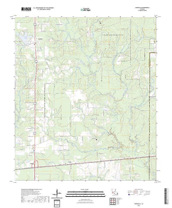 2024 Longville2024 Print · USGSIn the modern era, the area between Longville and Ragley remains a landscape defined by its winding waterways and family-named homesteads. Genealogists and local historians can trace legacy landmarks like Magnolia Cem and the waters of Hurricane Creek.
End of results
Showing maps 1-13 of 13
Top cities near Longville
Frequently asked questions
- What are the different types of historical maps available for Longville?
- What is the oldest map of Longville?
- Where can I purchase historical maps of Longville for my home or office?
- Where can I download high-res historical maps of Longville?
- Are there historical topographic maps available for Longville?
- Is there historical aerial imagery available for Longville?
- Where are historical maps of Longville sourced from?