Old Maps of Bolinger, Louisiana for Hiking & Exploration
Hike through history with 12 historic maps of Bolinger. Explore old trails, ghost towns, and forgotten backroads — perfect for outdoor adventurers and local explorers.
- Rediscover forgotten places: Map out old mining camps, roads, and footpaths that no longer exist on modern maps.
- Layer with modern tools: Combine with LiDAR or satellite views to plan hikes through historical terrain.
- Made for exploration: Popular among hikers, overlanders, and local history lovers.
Use these maps to find adventure and explore the hidden past of Bolinger.
Bolinger, LA maps
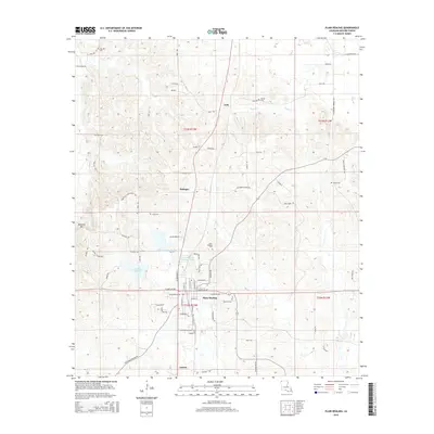
(12)- 1950 Map of Plain Dealing NW
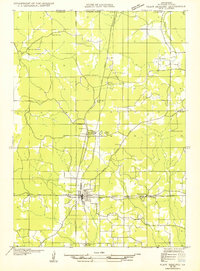 1950 Plain Dealing NW1950 Print · USGSBossier Parish at the Arkansas border is captured here during the mid-twentieth century, centered on the rail-to-road transition. Genealogists can trace family roots at Oak Hill Cemetery or locate landmarks like Bolinger and Macedonia Sch.
 - 1955 Map of Shreveport
 1955 Shreveport1955 Print · USGSNorthern Louisiana in the mid-fifties is captured here as a landscape of military bases, vast oil fields, and burgeoning college towns. Genealogists and historians can trace the rail-and-river economy through the Monroe Gas Field, Grambling College, and Barksdale Air Force Base.3 unique versions available
 - 1955 Map of Plain Dealing, 1956 Print
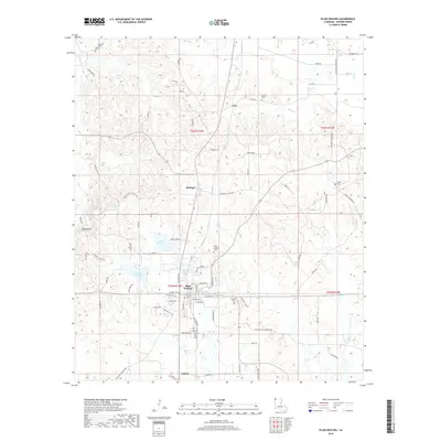
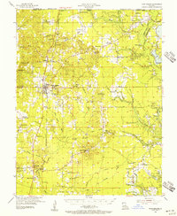 1955 Plain Dealing1956 Print · USGSNorthern Bossier Parish during the mid-fifties shows a landscape defined by burgeoning oil fields and quiet rural communities. Genealogists and local historians can locate numerous family-named landmarks and country institutions like Louisville Sch, Collinsburg Cem, and the St Marys Ch.4 unique versions available
 - 1956 Map of Shreveport
 1956 Shreveport1956 Print · USGSNorthern Louisiana during the mid-fifties presents a complex landscape of booming oil fields and strategic military installations. Genealogists and historians can trace the infrastructure of the Monroe Gas Field and family-named locales from Cotton Valley to Jonesboro.
 - 1981 Map of Plain Dealing
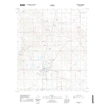
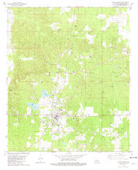 1981 Plain Dealing1981 Print · USGSNorthern Bossier Parish in the early eighties shows a landscape of active extraction and deep-rooted community settlements. Genealogists and historians can trace the positions of Union Chapel Cem, Macedonia Ch, and the small settlement of Lela along the rail line.
 - 1984 Map of Shreveport
 1984 Shreveport1984 Print · USGSNorthern Louisiana at the peak of the 1980s reveals a landscape of massive water management projects and Cold War military hubs. Trace the rail lines of the Kansas City Southern Ry past Barksdale Air Force Base and the high ground of Driskill Mountain.2 unique versions available
 - 1986 Map of Shreveport North
 1986 Shreveport North1986 Print · USGSNorthern Louisiana in the mid-eighties shows a landscape of expansive river bottoms and growing suburban centers. Genealogists and historians can trace the development of Shreveport, the infrastructure of Barksdale Air Force Base, and rural life in Rocky Mount.2 unique versions available
 - 2012 Map of Plain Dealing, 2012 Print
 2012 Plain Dealing2012 Print · USGSCovers Bolinger, including Plain Dealing, Lela, and other nearby areas
 - 2015 Map of Plain Dealing, 2015 Print
 2015 Plain Dealing2015 Print · USGSCovers Bolinger, including Plain Dealing, Lela, and other nearby areas
 - 2018 Map of Plain Dealing, 2018 Print
 2018 Plain Dealing2018 Print · USGSCovers Bolinger, including Plain Dealing, Lela, and other nearby areas
 - 2020 Map of Plain Dealing, 2020 Print
 2020 Plain Dealing2020 Print · USGSCovers Bolinger, including Plain Dealing, Lela, and other nearby areas
 - 2024 Map of Plain Dealing, 2024 Print
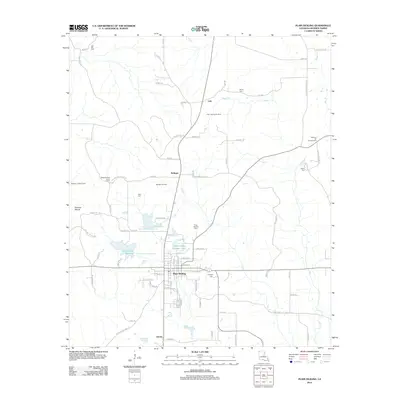
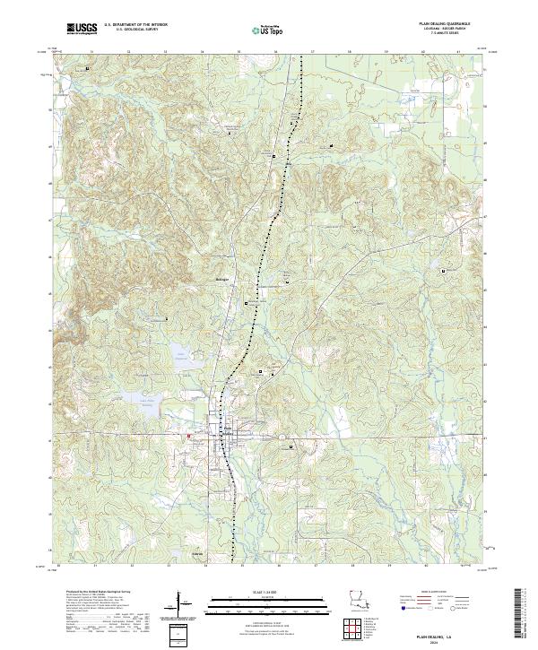 2024 Plain Dealing2024 Print · USGSNorthern Bossier Parish is shown here in its modern context, centered on the historic town of Plain Dealing. Genealogists can trace family heritage through numerous sites including Union Chapel Church Cemetery, Ford Wilson Cemetery, and Rock Springs Cemetery.
End of results
Showing maps 1-12 of 12
Top cities near Bolinger
- Springhill historical maps
- Plain Dealing historical maps
- Bradley historical maps
- Hosston historical maps
- Belcher historical maps
- Ida historical maps
See more
Frequently asked questions
- What are the different types of historical maps available for Bolinger?
- What is the oldest map of Bolinger?
- Where can I purchase historical maps of Bolinger for my home or office?
- Where can I download high-res historical maps of Bolinger?
- Are there historical topographic maps available for Bolinger?
- Is there historical aerial imagery available for Bolinger?
- Where are historical maps of Bolinger sourced from?