Old Maps of Stacy Landing, Louisiana for Academic Research
Study the evolution of Stacy Landing with 12 high-resolution historic maps. Whether you're teaching, researching, or modeling changes in land use, these maps provide essential visual documentation of urban, environmental, and geographic change.
- Analyze long-term change: Track patterns in development, transportation, and natural features.
- Ideal for environmental or urban studies: Support academic projects with primary historical map data.
- Use in the classroom or lab: Educators and researchers rely on these maps to bring historical context to life.
These maps are a powerful tool for teaching, research, and visualizing how Stacy Landing has changed over the decades.
Stacy Landing, LA maps
(12)- 1944 Map of Kildare, 1954 Print
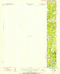 1944 Kildare1954 Print · USGSThe tri-state border region of Texas, Louisiana, and Arkansas comes alive in this mid-century survey of the bayou country. Genealogists and researchers can trace local landmarks like Mission Chapel, the settlement of Trees, and the rail stops of the Kansas City Southern.
 - 1948 Map of Kildare
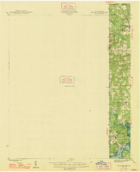 1948 Kildare1948 Print · USGSThe Texas-Louisiana borderlands in the late 1940s reveal a landscape of rail-driven settlements and bayou wetlands. Genealogists and historians can trace old landmarks such as Bonham Landing, the village of Trees, and the Mission Chapel near the Caddo Parish line.
 - 1956 Map of Tyler
 1956 Tyler1956 Print · USGSEast Texas was a powerhouse of oil production and rail transport during the mid-fifties, centered on the sprawling East Texas Oil Field. Researchers can trace the heritage of industrial hubs like Kilgore, military sites such as the Longhorn Ordnance Works, and many rural landmarks like Mount Enterprise.5 unique versions available
 - 1962 Map of Trees, 1963 Print
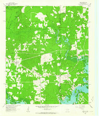 1962 Trees1963 Print · USGSThe Texas-Louisiana borderlands come alive in this early 1960s survey of the James Bayou and Caddo Lake region. Genealogists and historians can trace numerous family burial sites like Burks-Hart Cem and the landings at Stacy Landing or Bonham Landing.2 unique versions available
 - 1984 Map of Tyler
 1984 Tyler1984 Print · USGSEast Texas at the peak of its reservoir-building era shows a landscape defined by new lakes and established rail corridors. Trace the path of the St Louis Southwestern RR or locate industrial sites like the Longhorn Ordnance Works.3 unique versions available
 - 1986 Map of Marshall
 1986 Marshall1986 Print · USGSEast Texas and the Louisiana borderlands are shown in the mid-1980s during a period of sustained industrial and energy production. Researchers can trace family roots through settlements like Ebenezer or study the impact of the Longhorn Army Ammunition Plant and Rodessa Oil Field.2 unique versions available
 - 2010 Map of Trees, 2010 Print
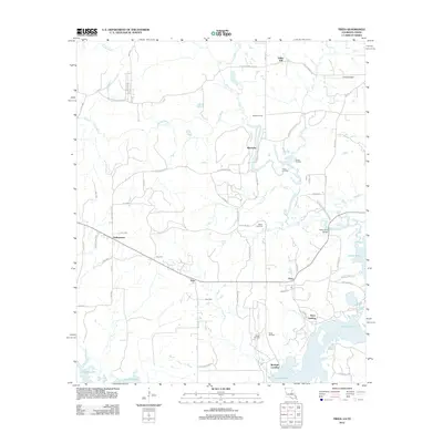
 2010 Trees2010 Print · USGSCovers Stacy Landing, including Vivian, Monterey, and other nearby areas
 - 2012 Map of Trees, 2012 Print
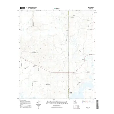
 2012 Trees2012 Print · USGSCovers Stacy Landing, including Vivian, Monterey, and other nearby areas
 - 2015 Map of Trees, 2015 Print
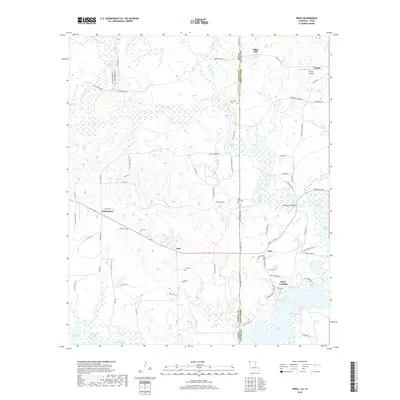
 2015 Trees2015 Print · USGSCovers Stacy Landing, including Vivian, Monterey, and other nearby areas
 - 2018 Map of Trees, 2018 Print
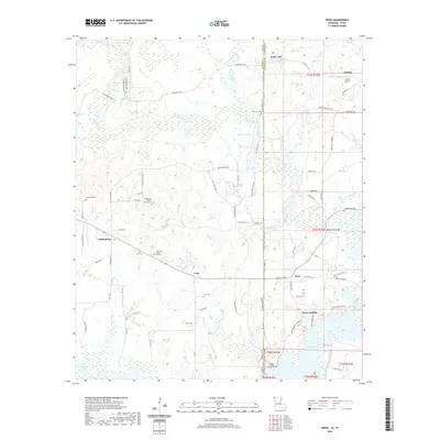
 2018 Trees2018 Print · USGSCovers Stacy Landing, including Vivian, Monterey, and other nearby areas
 - 2020 Map of Trees, 2020 Print
 2020 Trees2020 Print · USGSCovers Stacy Landing, including Vivian, Monterey, and other nearby areas
 - 2024 Map of Trees, 2024 Print
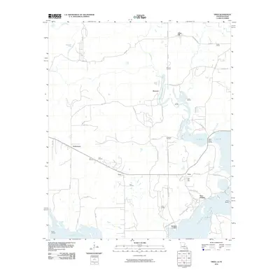
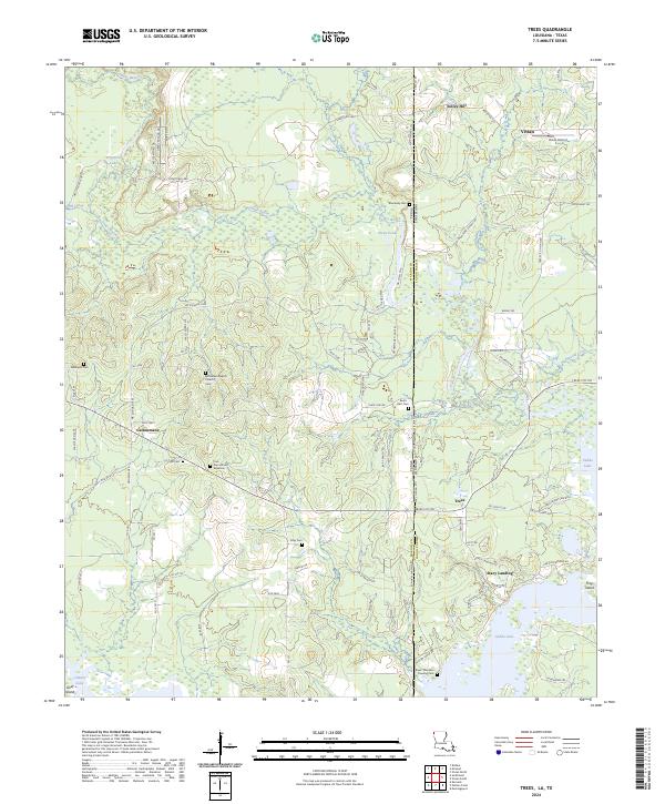 2024 Trees2024 Print · USGSThe border of Marion County, Texas and Caddo Parish, Louisiana comes alive in this contemporary survey of the bayou country. Genealogists can trace family footprints at Core Cem African American, Stacy Landing, and Bethlehem Baptist Church.
End of results
Showing maps 1-12 of 12
Top cities near Stacy Landing
- Shreveport historical maps
- Vivian historical maps
- Blanchard historical maps
- Oil City historical maps
- Mooringsport historical maps
- Hosston historical maps
See more
Frequently asked questions
- What are the different types of historical maps available for Stacy Landing?
- What is the oldest map of Stacy Landing?
- Where can I purchase historical maps of Stacy Landing for my home or office?
- Where can I download high-res historical maps of Stacy Landing?
- Are there historical topographic maps available for Stacy Landing?
- Is there historical aerial imagery available for Stacy Landing?
- Where are historical maps of Stacy Landing sourced from?