2020s Maps of Vivian, Louisiana
Explore 7 historic maps of Vivian from the 2020s. These maps offer a rare glimpse into what life looked like during the 2020s — showing old roads, neighborhoods, homes, and landmarks that have changed or disappeared over time.
Whether you're researching your family's past, planning a metal detecting trip, or studying how Vivian's landscape evolved across the 2020s, these high-resolution maps are a powerful tool for exploring the history of this region.
- Focus on a specific era: All maps on this page are from the 2020s, giving you a focused view of this time period.
- See what’s changed: Compare century-old streets, trails, and buildings to today's modern landscape using overlays and satellite layers.
- Research with precision: Use these maps for genealogy, historical research, land use analysis, or educational projects.
- View, download, or print: Maps are fully viewable online in high resolution, and can be downloaded or printed for your own records.
Start exploring Vivian's history through authentic maps from the 2020s. This is your window into the past.
Vivian, LA maps
(7)- 2020 Map of Trees, 2020 Print
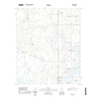 2020 Trees2020 Print · USGSCovers Vivian, including Monterey, Trees, and other nearby areas
 - 2020 Map of Vivian South, 2020 Print
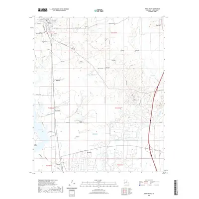 2020 Vivian South2020 Print · USGSCovers Vivian, including Oil City, Hosston, and other nearby areas
 - 2020 Map of Vivian North, 2020 Print
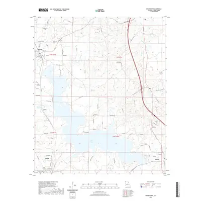 2020 Vivian North2020 Print · USGSCovers Vivian, including Hosston, Rodessa, and other nearby areas
 - 2022 Map of McLeod, 2022 Print
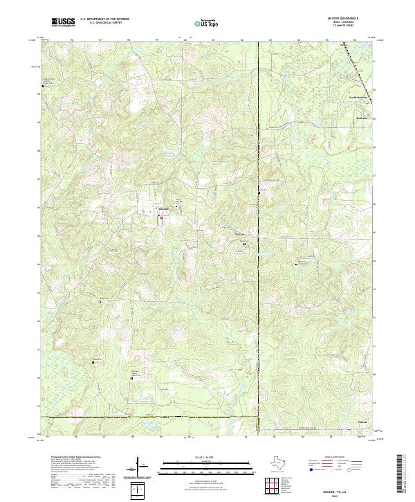 2022 McLeod2022 Print · USGSThe Texas-Louisiana borderlands come into focus here in the early 2020s, showing a landscape of timbered hills and rural crossroads. Local historians can trace family sites at Good Exchange Cem, Baugus Cem, and the historic Walnut Hill Church Cem.
 - 2024 Map of Trees, 2024 Print
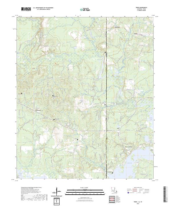 2024 Trees2024 Print · USGSThe border of Marion County, Texas and Caddo Parish, Louisiana comes alive in this contemporary survey of the bayou country. Genealogists can trace family footprints at Core Cem African American, Stacy Landing, and Bethlehem Baptist Church.
 - 2024 Map of Vivian North, 2024 Print
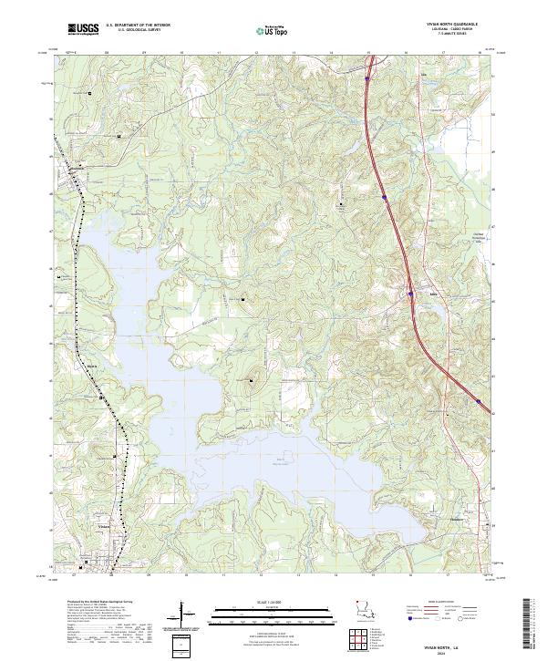 2024 Vivian North2024 Print · USGSNorthwestern Caddo Parish comes to life in this survey of the communities surrounding Black Bayou Lake. Researchers can trace local heritage through sites like Munnerlyn Chapel, Myrtis Mill Pond, and the Vivian Cem Old Section.
 - 2024 Map of Vivian South, 2024 Print
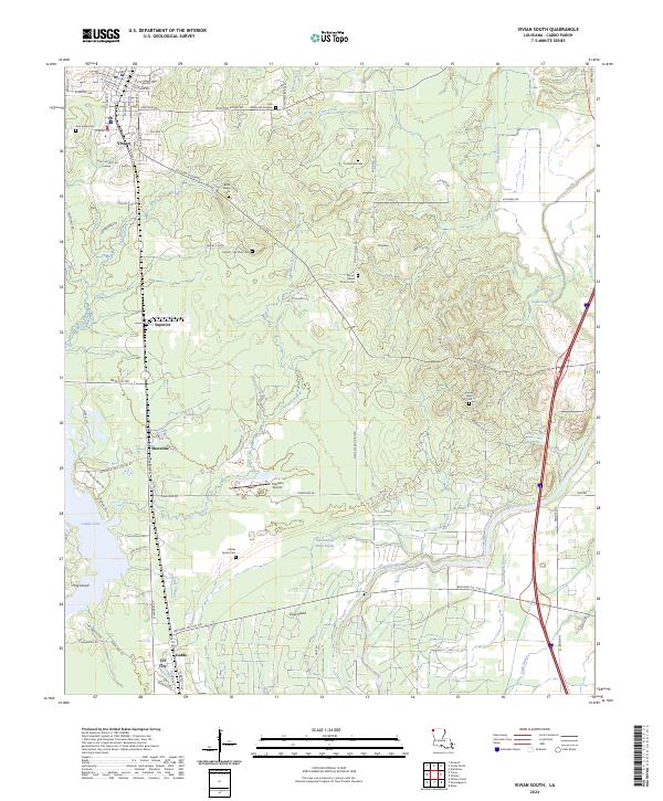 2024 Vivian South2024 Print · USGSCaddo Parish in the mid-2020s remains a landscape shaped by its oil heritage and complex bayou networks. Researchers can trace family history at the Mt Gilead Church Cem and Black Bayou Cem or explore the area around Shoreline and Caddo Oil City.
End of results
Showing maps 1-7 of 7
Top cities near Vivian
- Atlanta historical maps
- Blanchard historical maps
- Oil City historical maps
- Mooringsport historical maps
- Hosston historical maps
- Rodessa historical maps
See more
Top neighborhoods of Vivian
Frequently asked questions
- What are the different types of historical maps available for Vivian?
- What is the oldest map of Vivian?
- Where can I purchase historical maps of Vivian for my home or office?
- Where can I download high-res historical maps of Vivian?
- Are there historical topographic maps available for Vivian?
- Is there historical aerial imagery available for Vivian?
- Where are historical maps of Vivian sourced from?