Old Maps of Blankston, Louisiana for Genealogy
Trace your family roots with 13 historic maps of Blankston. These high-res maps reveal old neighborhoods, homesites, landmarks, and streets — helping you uncover where your ancestors lived and how the area evolved over time.
- Explore historic neighborhoods: Identify where your relatives may have lived in the 1800s or 1900s.
- Compare maps over time: Trace the changes in streets, buildings, and landmarks for multi-generational research.
- Perfect for genealogy & ancestry research: Used by family historians and researchers to map out lineage and migration.
These maps are an incredible resource for exploring your personal connection to Blankston's past.
Blankston, LA maps
(13)- 1940 Map of Columbia, 1945 Print
 1940 Columbia1945 Print · USGSCaldwell Parish at the start of the 1940s shows a landscape defined by the winding Ouachita River and the regional lumber industry. Genealogists and historians can trace families near Old Mt Pleasant, locate Oak Grove Sch, and follow the old Louisiana Central Lumber Company rail lines.
 - 1955 Map of Shreveport
 1955 Shreveport1955 Print · USGSNorthern Louisiana in the mid-fifties is captured here as a landscape of military bases, vast oil fields, and burgeoning college towns. Genealogists and historians can trace the rail-and-river economy through the Monroe Gas Field, Grambling College, and Barksdale Air Force Base.3 unique versions available
 - 1956 Map of Shreveport
 1956 Shreveport1956 Print · USGSNorthern Louisiana during the mid-fifties presents a complex landscape of booming oil fields and strategic military installations. Genealogists and historians can trace the infrastructure of the Monroe Gas Field and family-named locales from Cotton Valley to Jonesboro.
 - 1957 Map of Columbia, 1958 Print
 1957 Columbia1958 Print · USGSCaldwell Parish in the late fifties is defined by the winding Ouachita River and the bustling corridor of the Missouri Pacific railroad. Genealogists and local historians can trace legacy sites like Union Central High Sch, Banks Springs, and Welcome Home Cem.3 unique versions available
 - 1984 Map of Shreveport
 1984 Shreveport1984 Print · USGSNorthern Louisiana at the peak of the 1980s reveals a landscape of massive water management projects and Cold War military hubs. Trace the rail lines of the Kansas City Southern Ry past Barksdale Air Force Base and the high ground of Driskill Mountain.2 unique versions available
 - 1985 Map of Monroe South
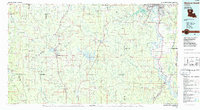 1985 Monroe South1985 Print · USGSNorth Central Louisiana in the mid-1980s was a hub of timber production and rail transport spanning from the Dugdemona River to the Ouachita valley. Family researchers and historians can trace the rail lines of the Midsouth Railroad through Jonesboro or find local landmarks like Mineral Springs and Punkin Center.2 unique versions available
 - 1989 Map of Blankston
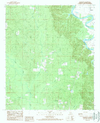 1989 Blankston1989 Print · USGSCaldwell Parish in the late eighties is defined by the winding course of the river and scattered rural settlements. Genealogists and local historians can trace family locations near Blankston, Mt Pleasant, and the riverfront Cem.
 - 1998 Map of Blankston, 2004 Print
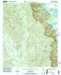 1998 Blankston2004 Print · USGSCaldwell Parish during the late twentieth century was a landscape of winding river bottoms and dense creek networks. Genealogists and local historians can trace the topography around the settlement of Blankston or follow the path of Bills Creek to the Ouachita River.
 - 2012 Map of Blankston, 2012 Print
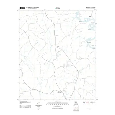 2012 Blankston2012 Print · USGSCaldwell Parish as it appeared in the early 2010s shows a landscape deeply tied to its river landings and rural communities. Researchers can trace family sites at Mount Pleasant Cem or explore the river history of Castor Landing and Waverly Landing.
 - 2015 Map of Blankston, 2015 Print
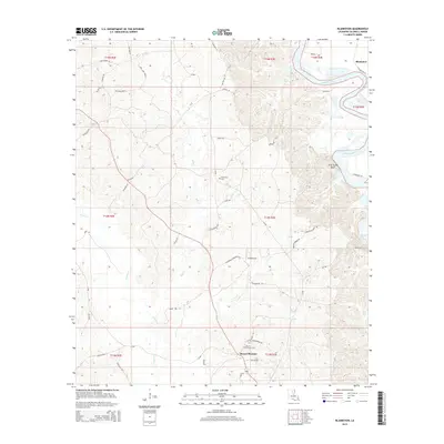 2015 Blankston2015 Print · USGSCaldwell Parish in the mid-2010s shows a landscape deeply tied to the winding Ouachita River. Researchers can trace local family history through landmarks like Mount Pleasant Cem, Fellowship Cem, and the settlement at Blankston.
 - 2018 Map of Blankston, 2018 Print
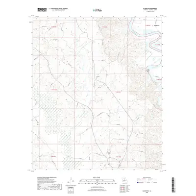 2018 Blankston2018 Print · USGSCaldwell Parish during the late 2010s shows a landscape deeply tied to the Ouachita River and its shifting bayous. Researchers can trace local lineage through Fellowship Cem and Mount Pleasant Cem or locate old crossings near Lone Grave Bluff.
 - 2020 Map of Blankston, 2020 Print
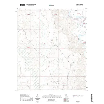 2020 Blankston2020 Print · USGSCaldwell Parish in the modern era remains a landscape defined by the winding Ouachita River and its dense network of bayous and creeks. Local historians can trace old homestead sites near Fellowship Cem or the high ground at Lone Grave Bluff.
 - 2024 Map of Blankston, 2024 Print
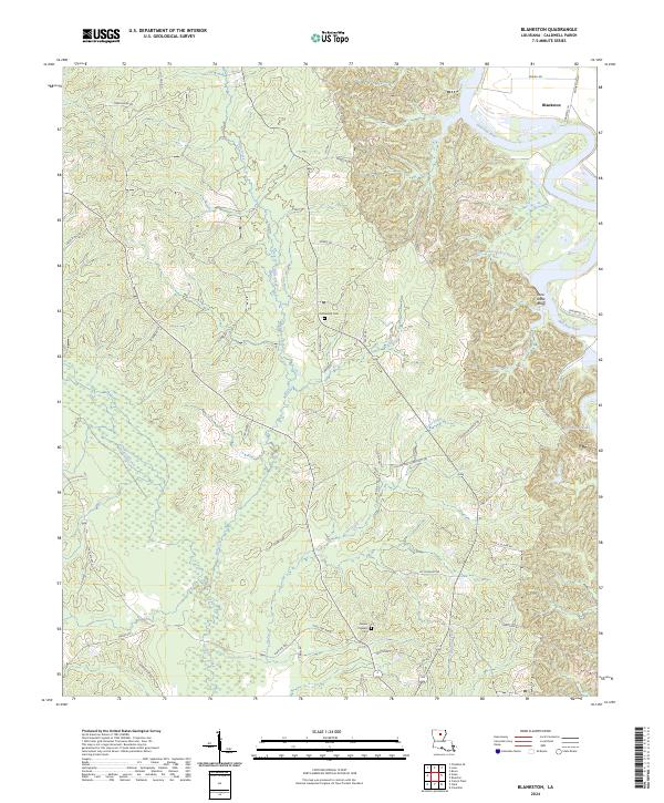 2024 Blankston2024 Print · USGSCaldwell Parish as it appears today remains a landscape of deep river bends and rural crossroads. Researchers can trace land tracts near Blankston or locate family sites at Fellowship Cem and Mount Pleasant Cem along the Ouachita River valley.
End of results
Showing maps 1-13 of 13
Top cities near Blankston
- Monroe historical maps
- Richwood historical maps
- Clarks historical maps
- Grayson historical maps
- Columbia historical maps
Frequently asked questions
- What are the different types of historical maps available for Blankston?
- What is the oldest map of Blankston?
- Where can I purchase historical maps of Blankston for my home or office?
- Where can I download high-res historical maps of Blankston?
- Are there historical topographic maps available for Blankston?
- Is there historical aerial imagery available for Blankston?
- Where are historical maps of Blankston sourced from?