Old Maps of Jonesville, Louisiana for Genealogy
Trace your family roots with 19 historic maps of Jonesville. These high-res maps reveal old neighborhoods, homesites, landmarks, and streets — helping you uncover where your ancestors lived and how the area evolved over time.
- Explore historic neighborhoods: Identify where your relatives may have lived in the 1800s or 1900s.
- Compare maps over time: Trace the changes in streets, buildings, and landmarks for multi-generational research.
- Perfect for genealogy & ancestry research: Used by family historians and researchers to map out lineage and migration.
These maps are an incredible resource for exploring your personal connection to Jonesville's past.
Jonesville, LA maps
(19)- 1941 Map of Manifest, 1943 Print
 1941 Manifest1943 Print · USGSCatahoula Parish in the early 1940s is defined by its strategic river junctions and a sprawling network of bayous. Researchers can trace the riverfront development of Jonesville and Trinity or locate rural landmarks like Bethel Ch and the Indian Mound.
 - 1953 Map of Natchez, 1966 Print
 1953 Natchez1966 Print · USGSSouthwest Mississippi and the Louisiana border country come alive in this mid-century survey of the river valley and forest lands. Researchers can trace the rail lines of the Illinois Central RR and locate rural hubs like Gloster and Ferriday.3 unique versions available
 - 1956 Map of Natchez
 1956 Natchez1956 Print · USGSThe Mississippi River borderlands and the Pine Hills come alive in this mid-fifties study of the Natchez region. Genealogists and historians can trace rail-era towns along the Illinois Central RR and explore the oxbows of Lake Bruin and Lake Concordia.
 - 1959 Map of Natchez
 1959 Natchez1959 Print · USGSSouthwestern Mississippi and eastern Louisiana are captured in the late fifties, showing a landscape defined by the winding Mississippi River and the timbered Homochitto National Forest. Researchers can trace the sprawling Illinois Central RR and find rural landmarks like Union Church and Camp Van Dorn (Abandoned).
 - 1960 Map of Jonesville, 1961 Print
 1960 Jonesville1961 Print · USGSThe river-junction town of Jonesville and the surrounding bayou country are captured here at the start of the 1960s. Researchers can trace old family burial grounds like Alexander Cem and rural centers including Lismore and Wallace Ridge.2 unique versions available
 - 1983 Map of Jonesville North
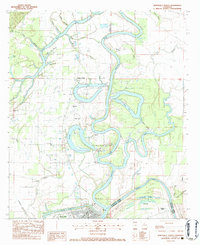 1983 Jonesville North1983 Print · USGSThe confluence of three major rivers in Catahoula Parish is captured here in the early 1980s. Local researchers can map out family landmarks such as McFarlen Cem and Wallace Ridge Ch or trace the development of the Tew Lake Oil Field.
 - 1983 Map of Jonesville South, 1984 Print
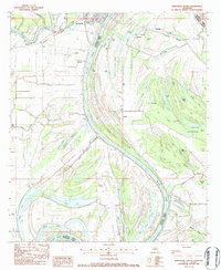 1983 Jonesville South1984 Print · USGSIn the early 1980s, the rural bayous of Catahoula Parish were shaped by the winding Black River and the timber-heavy landscape of the brakes. Researchers can trace rural lineages through family-named sites like Griffin Cem and St Peter Ch or locate the historic Louisiana Midland rail corridor.
 - 1984 Map of Natchez
 1984 Natchez1984 Print · USGSThe Mississippi-Louisiana borderlands in the mid-eighties show a landscape defined by the winding Mississippi River and its rail networks. Trace family history at the Natchez National Cemetery or explore the river towns of Vidalia and Ferriday.
 - 1991 Map of Natchez, 1992 Print
 1991 Natchez1992 Print · USGSThe Mississippi River valley at the turn of the nineties reveals a landscape of oxbow lakes, river landings, and bustling bluff-top towns. Genealogists and historians can trace the rail corridors of the Illinois Central Gulf Railroad through Fayette or locate family roots in riverside settlements like Waterproof and St Joseph.
 - 2012 Map of Jonesville North, 2012 Print
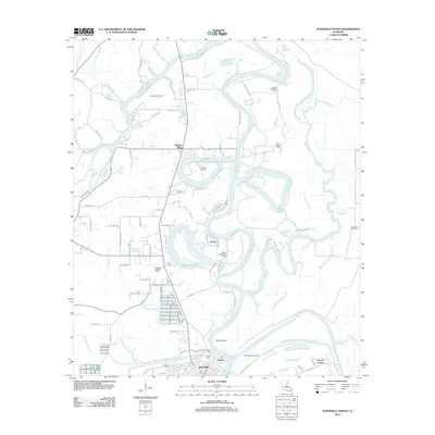 2012 Jonesville North2012 Print · USGSCatahoula Parish at the start of the 2010s is a landscape defined by the confluence of the Ouachita and Tensas Rivers. Researchers can trace family history through sites like Trinity Community Cem or study the local petroleum industry at the Tew Lake Oil Field and Quaid.
 - 2012 Map of Jonesville South, 2012 Print
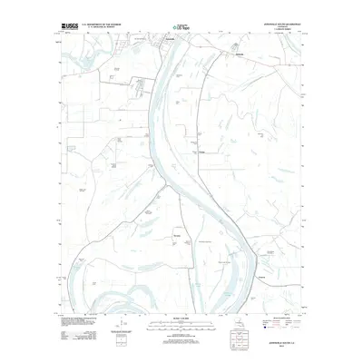 2012 Jonesville South2012 Print · USGSThe riverlands south of Jonesville are captured here in the early twenty-first century, documenting a landscape of bayous and energy extraction. Genealogists and historians can trace family cemeteries like Security Plantation Cem and Lismore Cem alongside active sites like the Ross Bayou Oil Field.
 - 2015 Map of Jonesville North, 2015 Print
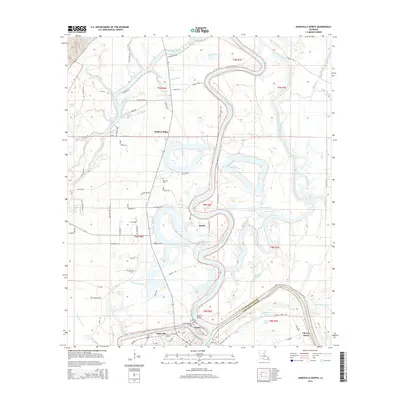 2015 Jonesville North2015 Print · USGSThe confluence of four major rivers in Catahoula Parish creates a complex delta landscape in the mid-2010s. Researchers can trace family history through sites like Trinity Community Cemetery or explore riverfront settlements including Jonesville, Trinity, and Quaid.
 - 2015 Map of Jonesville South, 2015 Print
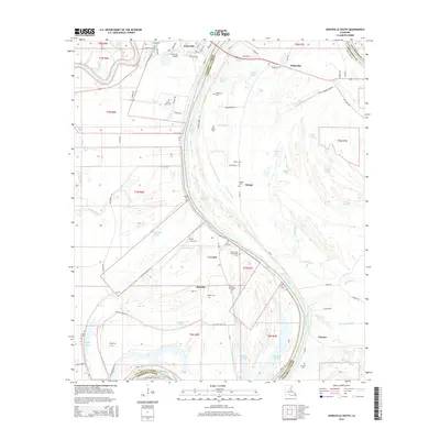 2015 Jonesville South2015 Print · USGSLouisiana's river-driven delta country south of Jonesville is captured here in the mid-2010s, showing a landscape defined by the convergence of the Black River and Little River. Genealogists and local historians can trace family ties at numerous sites, including Lismore Cem, Saint Mary Cem, and the Security Plantation Cem.
 - 2018 Map of Jonesville South, 2018 Print
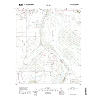 2018 Jonesville South2018 Print · USGSCatahoula and Concordia Parishes are captured here in the late twenty-tens, where the Black River meanders through a landscape of brakes and bayous. Researchers can locate numerous local burial sites like Moss Grove Cem and trace small communities from Wildsville down to Security.
 - 2018 Map of Jonesville North, 2018 Print
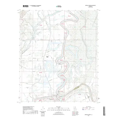 2018 Jonesville North2018 Print · USGSThe confluence of the Ouachita, Tensas, and Little Rivers at Jonesville defines this riverine landscape in the late 2010s. Researchers can trace local heritage through sites like Trinity Cem, Wallace Ridge, and McFarlen Cem.
 - 2020 Map of Jonesville South, 2020 Print
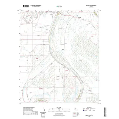 2020 Jonesville South2020 Print · USGSThe confluence of the Black and Little Rivers at Jonesville comes to life on this map of the Louisiana delta. Genealogists can trace family heritage through numerous rural burial grounds, such as Moss Grove Plantation Cemetery, Lismore Cem, and Griffin Cem.
 - 2020 Map of Jonesville North, 2020 Print
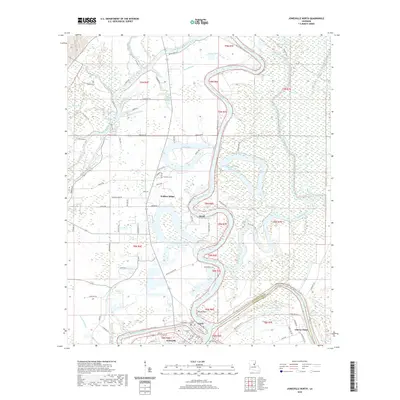 2020 Jonesville North2020 Print · USGSCatahoula Parish in the 2020s remains a landscape defined by the confluence of major waterways and rural riverfront life. Genealogists and local historians can locate Jonesville, the river junction at Tensas Point, and local burials at Trinity Cem.
 - 2024 Map of Jonesville North, 2024 Print
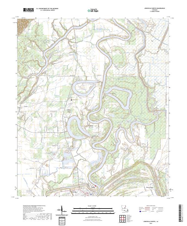 2024 Jonesville North2024 Print · USGSThe confluence of the Ouachita, Tensas, and Little Rivers takes center stage in this contemporary survey of the Louisiana delta. Researchers can trace the riverbank communities of Jonesville and Trinity, alongside local landmarks like McFarlen Cem and Tensas Point.
 - 2024 Map of Jonesville South, 2024 Print
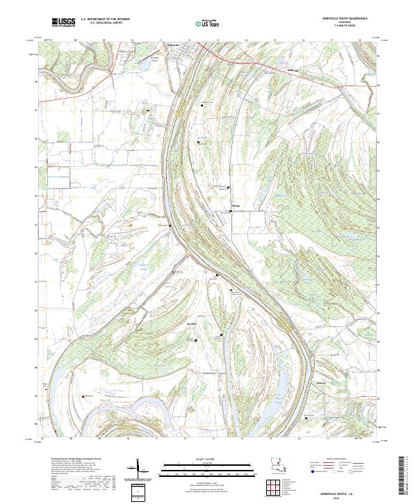 2024 Jonesville South2024 Print · USGSCatahoula and Concordia Parish riverlands are shown here in the 2020s as they follow the winding Black River. Researchers can trace family history through numerous rural burial sites like Security Plantation Cem and explore the backwater landscapes of Normandy Brake and Lismore.
End of results
Showing maps 1-19 of 19
Top cities near Jonesville
Frequently asked questions
- What are the different types of historical maps available for Jonesville?
- What is the oldest map of Jonesville?
- Where can I purchase historical maps of Jonesville for my home or office?
- Where can I download high-res historical maps of Jonesville?
- Are there historical topographic maps available for Jonesville?
- Is there historical aerial imagery available for Jonesville?
- Where are historical maps of Jonesville sourced from?