Old Maps of Spring Ridge, Louisiana for Academic Research
Study the evolution of Spring Ridge with 13 high-resolution historic maps. Whether you're teaching, researching, or modeling changes in land use, these maps provide essential visual documentation of urban, environmental, and geographic change.
- Analyze long-term change: Track patterns in development, transportation, and natural features.
- Ideal for environmental or urban studies: Support academic projects with primary historical map data.
- Use in the classroom or lab: Educators and researchers rely on these maps to bring historical context to life.
These maps are a powerful tool for teaching, research, and visualizing how Spring Ridge has changed over the decades.
Spring Ridge, LA maps
(13)- 1941 Map of Harrisonburg, 1946 Print
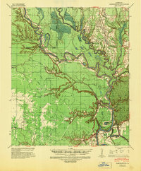 1941 Harrisonburg1946 Print · USGSThe Ouachita River valley in the early 1940s reveals a landscape of riverine commerce and upland settlements. Genealogists and researchers can locate historic community hubs like Harrisonburg, Siloam Ch, and the site of Fort Beauregard.
 - 1953 Map of Natchez, 1966 Print
 1953 Natchez1966 Print · USGSSouthwest Mississippi and the Louisiana border country come alive in this mid-century survey of the river valley and forest lands. Researchers can trace the rail lines of the Illinois Central RR and locate rural hubs like Gloster and Ferriday.3 unique versions available
 - 1956 Map of Natchez
 1956 Natchez1956 Print · USGSThe Mississippi River borderlands and the Pine Hills come alive in this mid-fifties study of the Natchez region. Genealogists and historians can trace rail-era towns along the Illinois Central RR and explore the oxbows of Lake Bruin and Lake Concordia.
 - 1959 Map of Natchez
 1959 Natchez1959 Print · USGSSouthwestern Mississippi and eastern Louisiana are captured in the late fifties, showing a landscape defined by the winding Mississippi River and the timbered Homochitto National Forest. Researchers can trace the sprawling Illinois Central RR and find rural landmarks like Union Church and Camp Van Dorn (Abandoned).
 - 1959 Map of Harrisonburg, 1960 Print
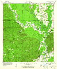 1959 Harrisonburg1960 Print · USGSThe Ouachita River valley comes to life in this late 1950s portrait of Catahoula Parish, showing a landscape of deep bayous and steep hills. Researchers can locate ancestral sites like Old Spring Ridge Cem, the community of Enterprise, and ancient Indian Mounds along the river bluffs.3 unique versions available
 - 1984 Map of Natchez
 1984 Natchez1984 Print · USGSThe Mississippi-Louisiana borderlands in the mid-eighties show a landscape defined by the winding Mississippi River and its rail networks. Trace family history at the Natchez National Cemetery or explore the river towns of Vidalia and Ferriday.
 - 1984 Map of Aimwell, 1985 Print
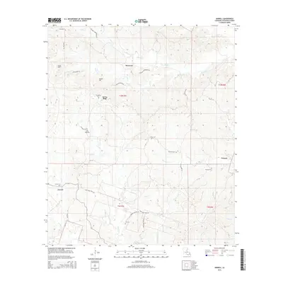
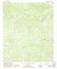 1984 Aimwell1985 Print · USGSCatahoula Parish in the mid-1980s reveals a landscape of small upland settlements and winding creek valleys. Genealogists and local historians can trace family locations near Aimwell, Spring Ridge, and Sherwood, or locate several rural Cem sites across the Chalk Hills.
 - 1991 Map of Natchez, 1992 Print
 1991 Natchez1992 Print · USGSThe Mississippi River valley at the turn of the nineties reveals a landscape of oxbow lakes, river landings, and bustling bluff-top towns. Genealogists and historians can trace the rail corridors of the Illinois Central Gulf Railroad through Fayette or locate family roots in riverside settlements like Waterproof and St Joseph.
 - 2012 Map of Aimwell, 2012 Print
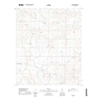
 2012 Aimwell2012 Print · USGSCovers Spring Ridge, including Prichard, Sherwood, and other nearby areas
 - 2015 Map of Aimwell, 2015 Print
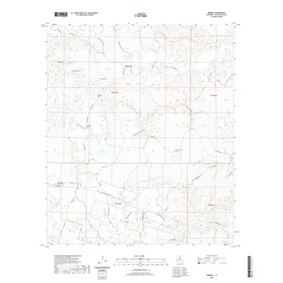
 2015 Aimwell2015 Print · USGSCovers Spring Ridge, including Prichard, Sherwood, and other nearby areas
 - 2018 Map of Aimwell, 2018 Print
 2018 Aimwell2018 Print · USGSCovers Spring Ridge, including Prichard, Sherwood, and other nearby areas
 - 2020 Map of Aimwell, 2020 Print
 2020 Aimwell2020 Print · USGSCovers Spring Ridge, including Prichard, Sherwood, and other nearby areas
 - 2024 Map of Aimwell, 2024 Print
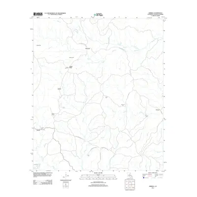
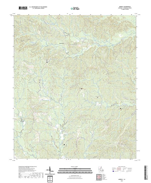 2024 Aimwell2024 Print · USGSCatahoula Parish rural life in the twenty-first century centers on the hills and creek bottoms of Aimwell and Sherwood. Genealogists can trace family burial sites at Old Spring Ridge Cem and Lambert Cemetery while following old routes like Old Columbia Rd.
End of results
Showing maps 1-13 of 13
Top cities near Spring Ridge
- Jena historical maps
- Jonesville historical maps
- Clarks historical maps
- Harrisonburg historical maps
- Grayson historical maps
Frequently asked questions
- What are the different types of historical maps available for Spring Ridge?
- What is the oldest map of Spring Ridge?
- Where can I purchase historical maps of Spring Ridge for my home or office?
- Where can I download high-res historical maps of Spring Ridge?
- Are there historical topographic maps available for Spring Ridge?
- Is there historical aerial imagery available for Spring Ridge?
- Where are historical maps of Spring Ridge sourced from?