Loading...
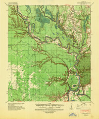
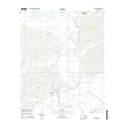
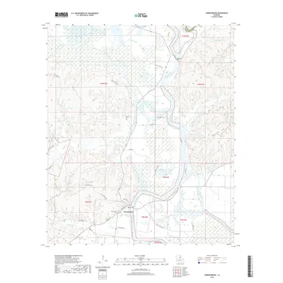
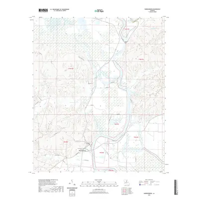
Loading map...1941 Map of Harrisonburg
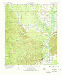
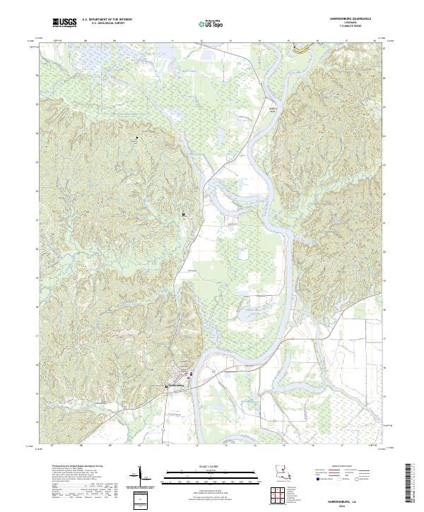
USGS Topo · Published 1946About this map
Fort Beauregard overlooks the Ouachita River at Harrisonburg, standing as a prominent landmark in a landscape defined by shifting watercourses and the Hooter Escarpment. This era in Catahoula Parish shows a rural economy centered on the river and its numerous backwater lakes, such as Horseshoe Lake and Sargent Lake. Small upland communities like Rosefield, Prichard, and Aimwell are connected by a network of local roads and the Haggerty Cr Road.
Find a feature on this map
51 named features on this map. Tap any name to fly to it.
Don’t see what you’re looking for? This feature index may not catch every label — zoom into the map to look around manually.
Map Details
Date Portrayed1941
Date Published1946
PublisherU.S. Geological Survey
Map TypeTopographic
Scale1:62,500
Physical Dimensions17.9 x 21.7 inches
Editions of this 1941 Harrisonburg Map
This is the sole edition of this map. No revisions or reprints were ever made.
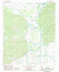
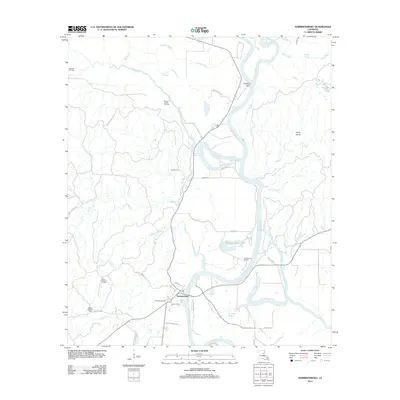
Historical Maps of Harrisonburg Through Time
8 maps found
Featured Locations
Source Details
SourceU.S. Geological Survey
CopyrightPublic Domain