Loading...
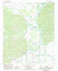
Loading map...1959 Map of Harrisonburg
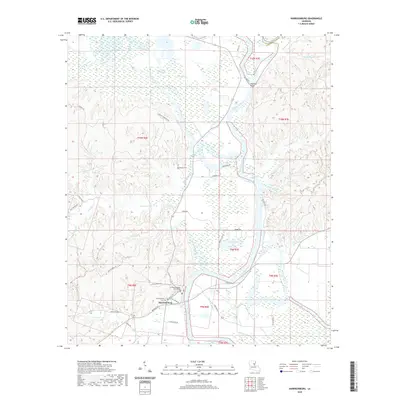
USGS Topo · Published 1976About this map
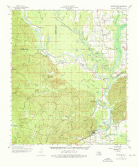
Harrisonburg sits at the foot of the Sicily Island plateau and the Dan Hills, serving as a vital point along the meandering Quachita River. In the late 1950s, the landscape was defined by its relationship to the water, with numerous oxbow lakes such as Hicktom Lake, Sunk Lake, and Cutoff Lake illustrating the river's historical shifts. The area is dense with family and community history, evidenced by a high concentration of cemeteries including McSween Cem, Old Spring Ridge Cem, and Blythe Cem.
Find a feature on this map
95 named features on this map. Tap any name to fly to it.
Don’t see what you’re looking for? This feature index may not catch every label — zoom into the map to look around manually.
Map Details
Date Portrayed1959
Date Published1976
PublisherU.S. Geological Survey
Map TypeTopographic
Scale1:62,500
Physical Dimensions17.9 x 21.8 inches
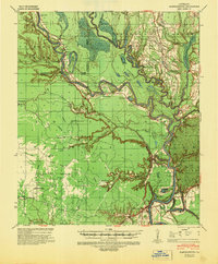
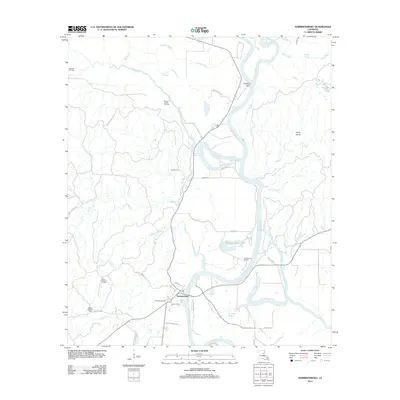
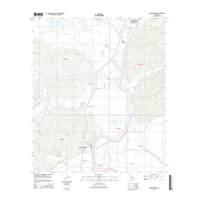
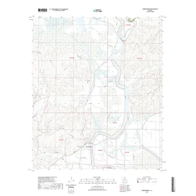
Editions of this 1959 Harrisonburg Map
3 editions found
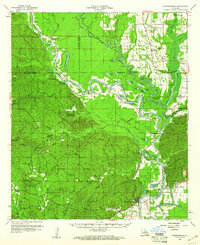
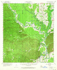
Historical Maps of Harrisonburg Through Time
8 maps found
Featured Locations
Source Details
SourceU.S. Geological Survey
CopyrightPublic Domain