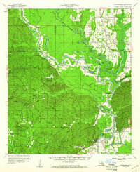
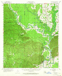
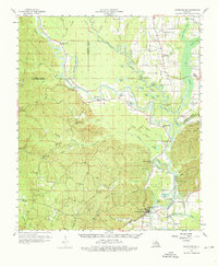
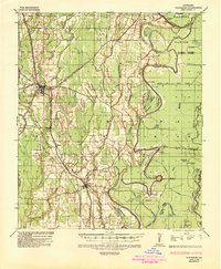
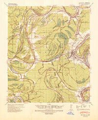
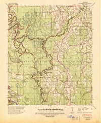
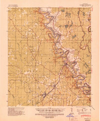
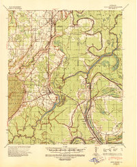
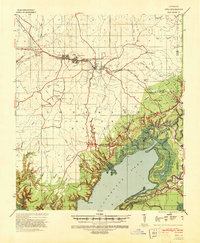
1959 Map of Harrisonburg
USGS Topo · Published 1960About this map
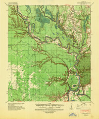
The Ouachita River meanders through this portion of central Louisiana, forming a complex hydrologic network where it meets the Boeuf River and Little River. In the late 1950s, the landscape around the parish seat of Harrisonburg was defined by this winding waterway and the dramatic elevations of the Chalk Hills and Dan Hills. Numerous oxbow lakes and bayous, such as Horseshoe Lake and Onemile Bayou, indicate a dynamic river system that shaped local settlement patterns and transportation.
Find a feature on this map
77 named features on this map. Tap any name to fly to it.
Don’t see what you’re looking for? This feature index may not catch every label — zoom into the map to look around manually.
Map Details
Editions of this 1959 Harrisonburg Map
3 editions found
Other maps of this area
1935 · Winnsboro
USGS Topo · 1:62,500
1939 · Red Gum
USGS Topo · 1:62,500
1939 · Fort Necessity
USGS Topo · 1:62,500
1940 · Columbia
USGS Topo · 1:62,500

1941 · Manifest
USGS Topo · 1:62,500
1941 · Sicily Island
USGS Topo · 1:62,500
1941 · Jena
USGS Topo · 1:62,500
1941 · Harrisonburg
USGS Topo · 1:62,500

1953 · Alexandria
USGS Topo · 1:250,000

1953 · Natchez
USGS Topo · 1:250,000