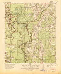
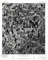
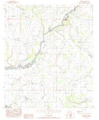
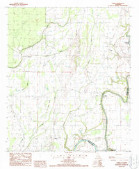
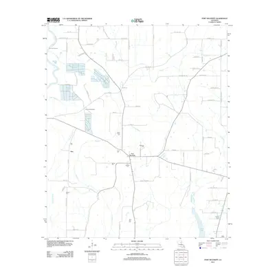
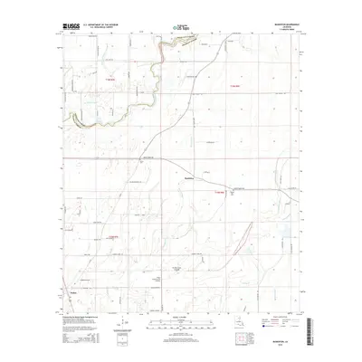
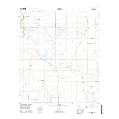
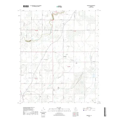
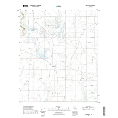
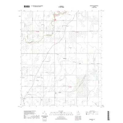
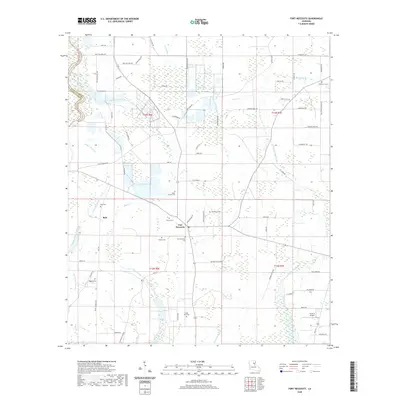
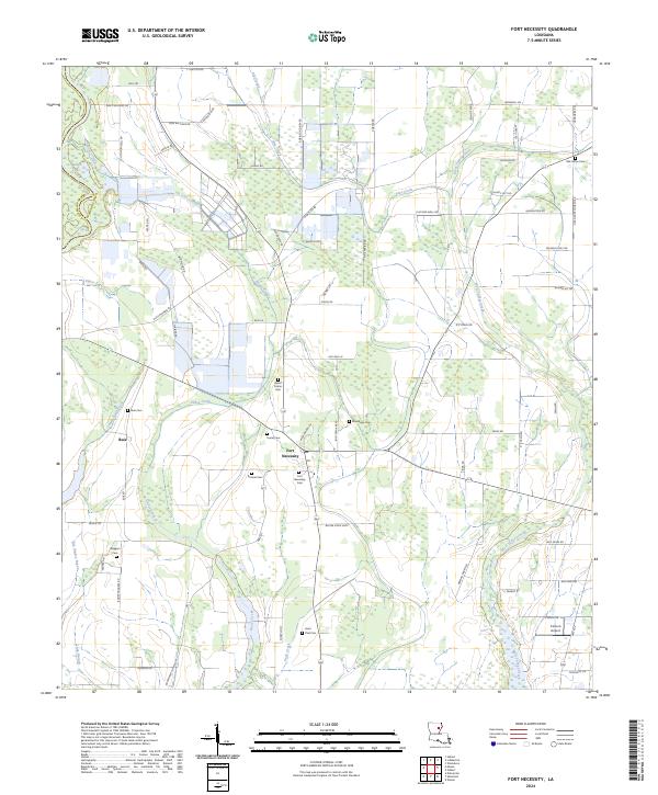
1939 Map of Fort Necessity
USGS Topo · Published 1941About this map
Boeuf River and its dense network of tributaries define this 1939 landscape at the borders of Richland, Caldwell, and Franklin Parishes. The map reveals a rural economy heavily reliant on river crossings and small local institutions, with numerous ferries such as Duchene Ferry and Hudson Ferry still providing vital transit across the meandering waterways. A notable concentration of social infrastructure is visible, including the Rosenwald Sch, reflecting the era's investment in education for rural communities. The small settlements of Fort Necessity and Liddieville serve as inland anchors amidst a terrain marked by bayous and seasonal wetlands like Bushy Lagoon. The presence of the Gold Mine in Richland Parish provides an intriguing localized industrial detail, while churches such as Sims Ch and Pilgrim Rest Ch highlight the scattered nature of community life during the late 1930s.
Find a feature on this map
46 named features on this map. Tap any name to fly to it.
Don’t see what you’re looking for? This feature index may not catch every label — zoom into the map to look around manually.
Map Details
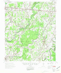
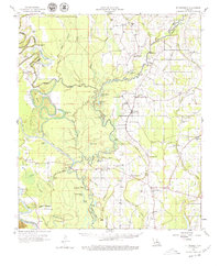
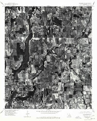
Editions of this 1939 Fort Necessity Map
This is the sole edition of this map. No revisions or reprints were ever made.
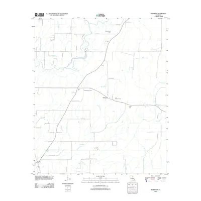
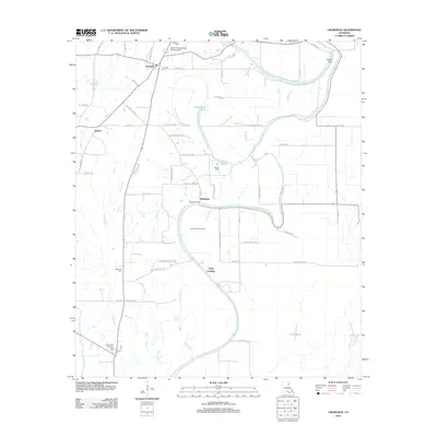
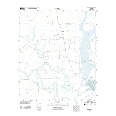
Historical Maps of Hebert Through Time
56 maps found

1935 Baskinton
Franklin Parish, LA
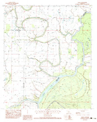
1939 Fort Necessity
Franklin Parish, LA
1958 Baskinton
Franklin Parish, LA
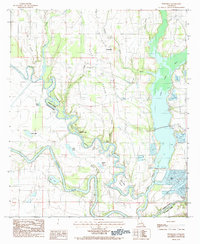
1958 Fort Necessity
Franklin Parish, LA
1976 Sicily Island NW
Franklin Parish, LA
1976 Winnsboro NW
Franklin Parish, LA
1976 Winnsboro SW
Franklin Parish, LA
1983 Como
Franklin Parish, LA
1983 Crowville
Franklin Parish, LA

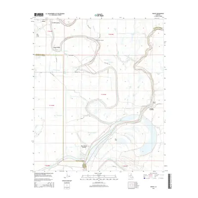
1983 Fort Necessity
Franklin Parish, LA
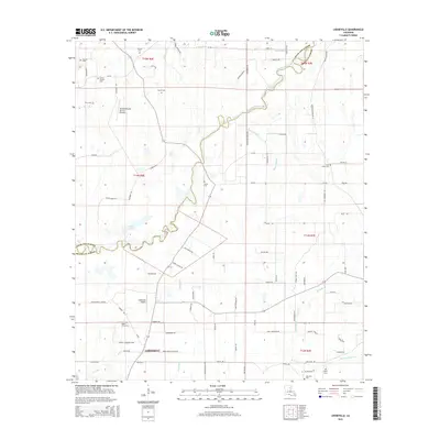
1983 Liddieville
Franklin Parish, LA
1983 Oakley
Franklin Parish, LA
1984 Extension
Franklin Parish, LA
1987 Baskinton
Franklin Parish, LA
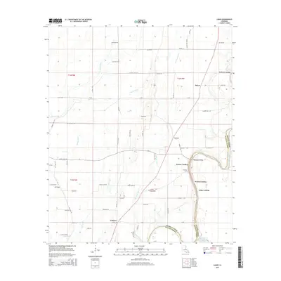
1987 Lamar
Franklin Parish, LA

1998 Lamar
Franklin Parish, LA
2012 Baskinton
Franklin Parish, LA

2012 Como
Franklin Parish, LA
2012 Crowville
Franklin Parish, LA
2012 Extension
Franklin Parish, LA
2012 Fort Necessity
Franklin Parish, LA
2012 Lamar
Franklin Parish, LA
2012 Liddieville
Franklin Parish, LA
2012 Oakley
Franklin Parish, LA
2015 Baskinton
Franklin Parish, LA
2015 Como
Franklin Parish, LA
2015 Crowville
Franklin Parish, LA
2015 Extension
Franklin Parish, LA
2015 Fort Necessity
Franklin Parish, LA
2015 Lamar
Franklin Parish, LA
2015 Liddieville
Franklin Parish, LA
2015 Oakley
Franklin Parish, LA
2018 Baskinton
Franklin Parish, LA
2018 Como
Franklin Parish, LA
2018 Crowville
Franklin Parish, LA
2018 Extension
Franklin Parish, LA
2018 Fort Necessity
Franklin Parish, LA
2018 Lamar
Franklin Parish, LA
2018 Liddieville
Franklin Parish, LA
2018 Oakley
Franklin Parish, LA
2020 Baskinton
Franklin Parish, LA
2020 Como
Franklin Parish, LA
2020 Crowville
Franklin Parish, LA
2020 Extension
Franklin Parish, LA
2020 Fort Necessity
Franklin Parish, LA
2020 Lamar
Franklin Parish, LA
2020 Liddieville
Franklin Parish, LA
2020 Oakley
Franklin Parish, LA
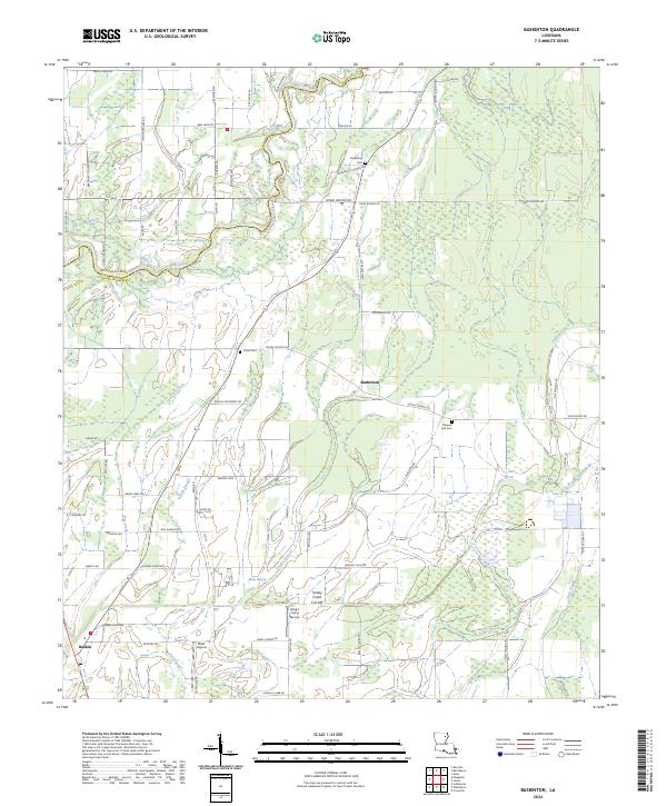
2024 Baskinton
Franklin Parish, LA
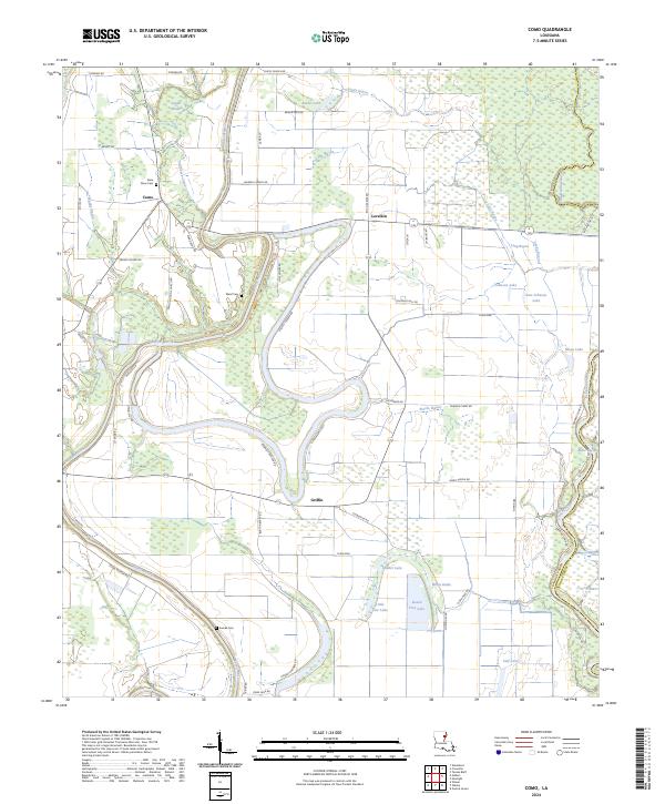
2024 Como
Franklin Parish, LA
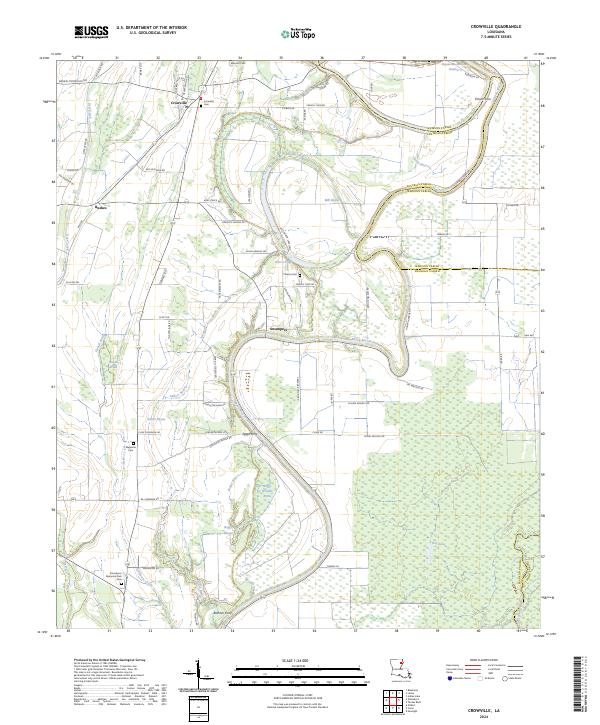
2024 Crowville
Franklin Parish, LA
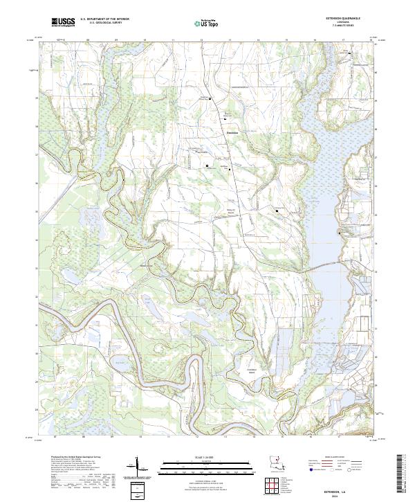
2024 Extension
Franklin Parish, LA
2024 Fort Necessity
Franklin Parish, LA
2024 Lamar
Franklin Parish, LA
2024 Liddieville
Franklin Parish, LA
2024 Oakley
Franklin Parish, LA