
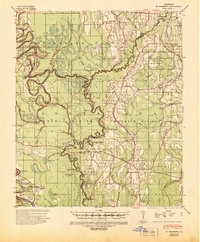
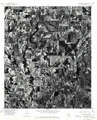
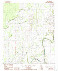
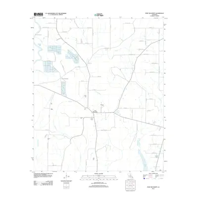
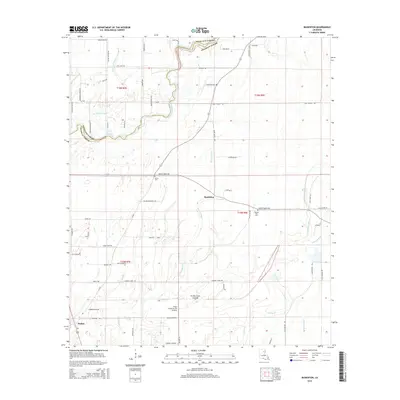
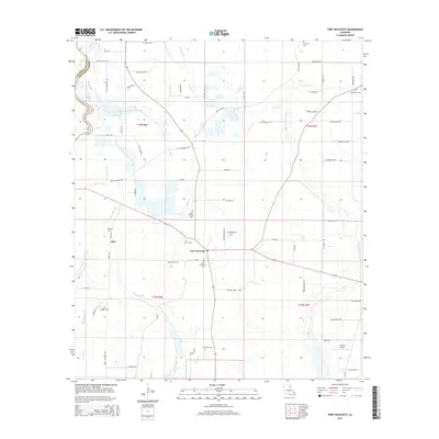
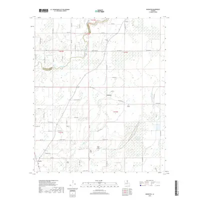
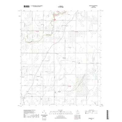
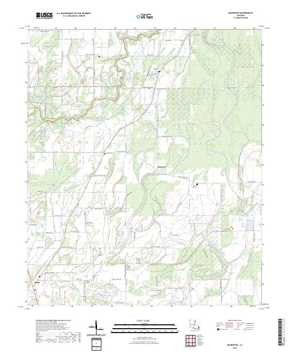
1935 Map of Baskinton
USGS Topo · Published 1936About this map
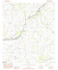
Big Creek winds through a landscape of bayous and agricultural sloughs in this mid-1930s survey of northeast Louisiana. The Illinois Central RR serves as a primary transit corridor, connecting Rayville and Delhi across the northern reaches of the sheet. Between the established towns, the map reveals a network of rural life defined by community hubs such as Hill Ridge Ch & Sch and Harmony Ch. Along the eastern edge, the presence of landings like Warsaw Ldg and Indian Ldg on Macon Bayou indicates the historical importance of waterway access for local trade and transport. The terrain is marked by numerous drainage features, including Turkey Creek and Wildcat Creek, which dictate the placement of early state roads and small settlements like Baskinton and Baskin.
Find a feature on this map
53 named features on this map. Tap any name to fly to it.
Don’t see what you’re looking for? This feature index may not catch every label — zoom into the map to look around manually.
Map Details
Editions of this 1935 Baskinton Map
This is the sole edition of this map. No revisions or reprints were ever made.
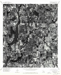
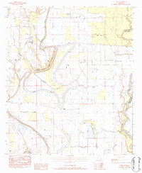
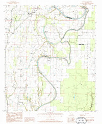
Historical Maps of Rayville Through Time
56 maps found
1935 Baskinton
Franklin Parish, LA
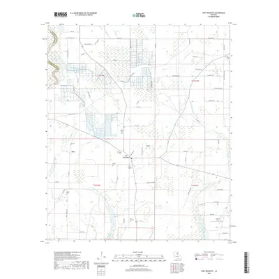
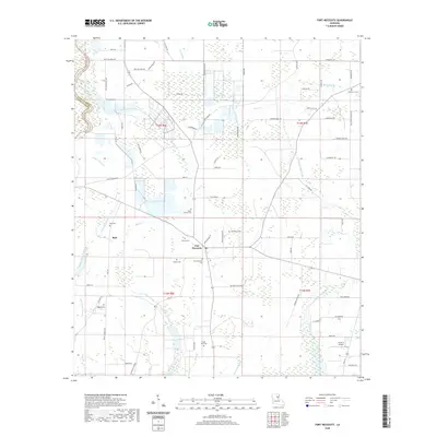
1939 Fort Necessity
Franklin Parish, LA
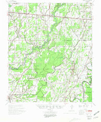
1958 Baskinton
Franklin Parish, LA
1958 Fort Necessity
Franklin Parish, LA
1976 Sicily Island NW
Franklin Parish, LA
1976 Winnsboro NW
Franklin Parish, LA
1976 Winnsboro SW
Franklin Parish, LA
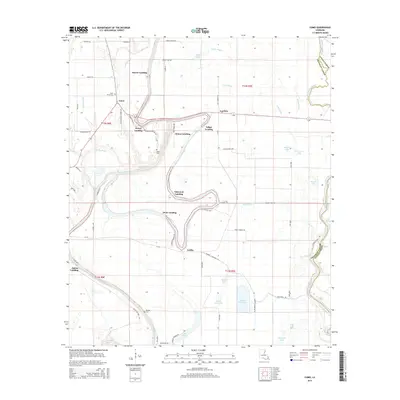
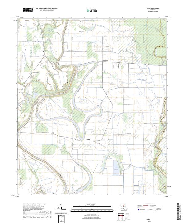
1983 Como
Franklin Parish, LA
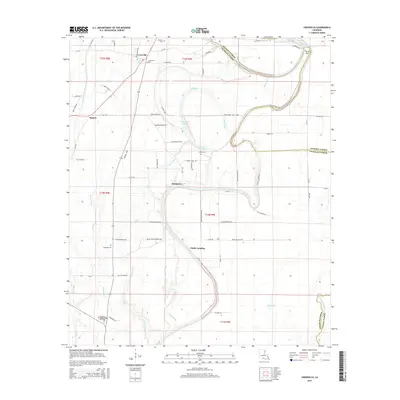
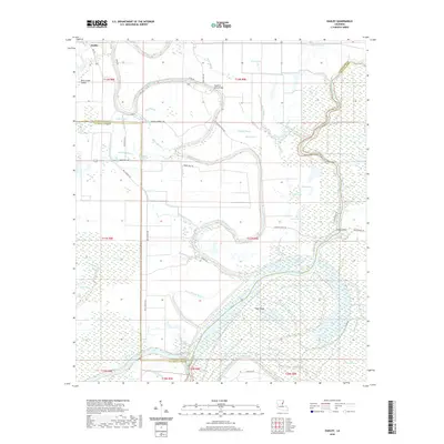
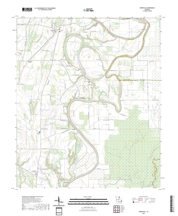
1983 Crowville
Franklin Parish, LA

1983 Fort Necessity
Franklin Parish, LA
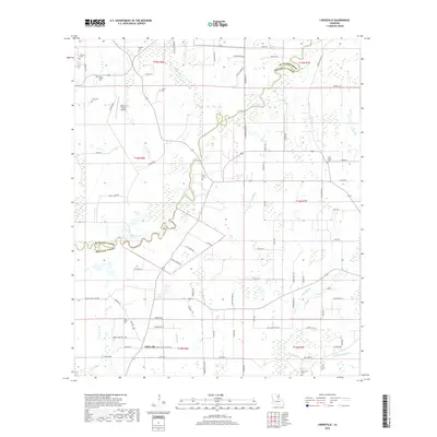
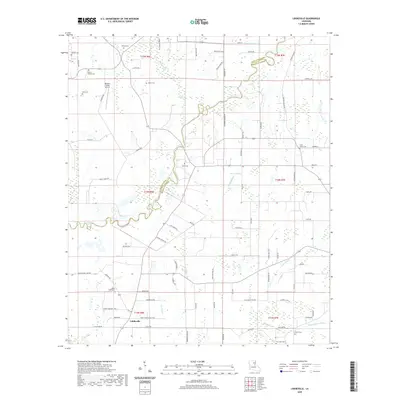
1983 Liddieville
Franklin Parish, LA
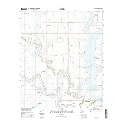
1983 Oakley
Franklin Parish, LA
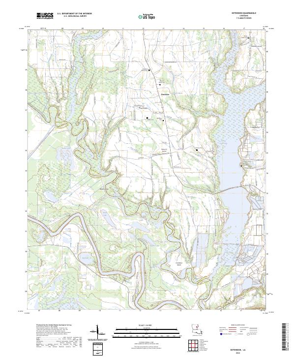
1984 Extension
Franklin Parish, LA
1987 Baskinton
Franklin Parish, LA
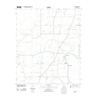
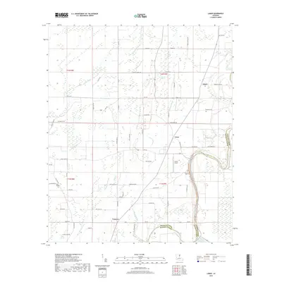
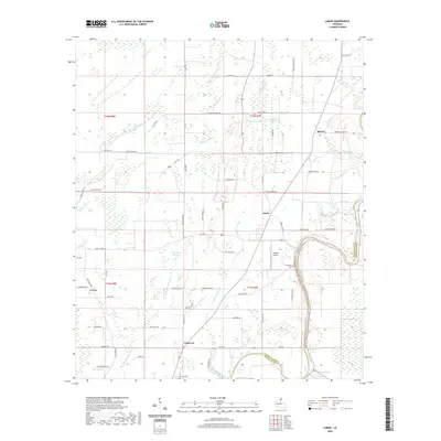
1987 Lamar
Franklin Parish, LA

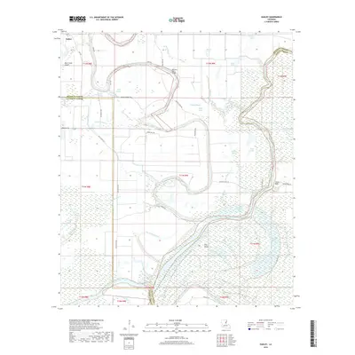
1998 Lamar
Franklin Parish, LA
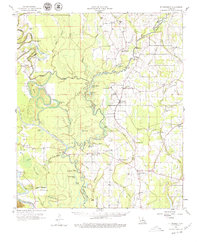
2012 Baskinton
Franklin Parish, LA

2012 Como
Franklin Parish, LA
2012 Crowville
Franklin Parish, LA
2012 Extension
Franklin Parish, LA
2012 Fort Necessity
Franklin Parish, LA
2012 Lamar
Franklin Parish, LA
2012 Liddieville
Franklin Parish, LA
2012 Oakley
Franklin Parish, LA
2015 Baskinton
Franklin Parish, LA
2015 Como
Franklin Parish, LA
2015 Crowville
Franklin Parish, LA
2015 Extension
Franklin Parish, LA
2015 Fort Necessity
Franklin Parish, LA
2015 Lamar
Franklin Parish, LA
2015 Liddieville
Franklin Parish, LA
2015 Oakley
Franklin Parish, LA
2018 Baskinton
Franklin Parish, LA
2018 Como
Franklin Parish, LA
2018 Crowville
Franklin Parish, LA
2018 Extension
Franklin Parish, LA
2018 Fort Necessity
Franklin Parish, LA
2018 Lamar
Franklin Parish, LA
2018 Liddieville
Franklin Parish, LA
2018 Oakley
Franklin Parish, LA
2020 Baskinton
Franklin Parish, LA
2020 Como
Franklin Parish, LA
2020 Crowville
Franklin Parish, LA
2020 Extension
Franklin Parish, LA
2020 Fort Necessity
Franklin Parish, LA
2020 Lamar
Franklin Parish, LA
2020 Liddieville
Franklin Parish, LA
2020 Oakley
Franklin Parish, LA
2024 Baskinton
Franklin Parish, LA
2024 Como
Franklin Parish, LA
2024 Crowville
Franklin Parish, LA
2024 Extension
Franklin Parish, LA
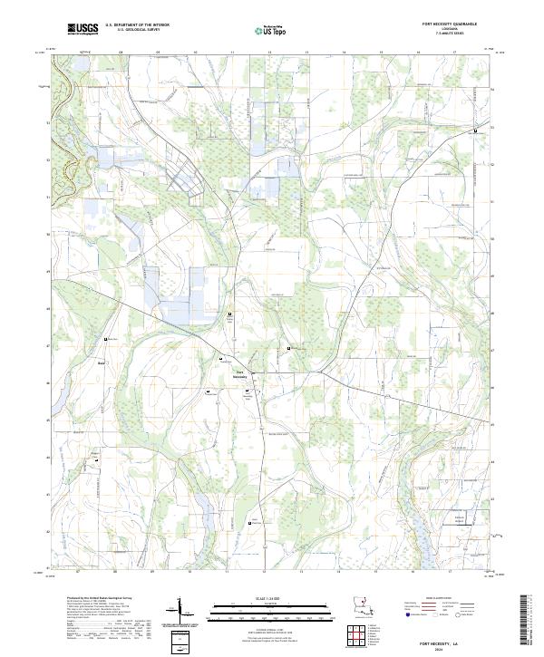
2024 Fort Necessity
Franklin Parish, LA
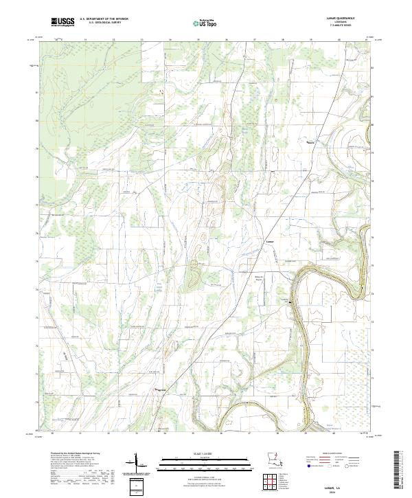
2024 Lamar
Franklin Parish, LA
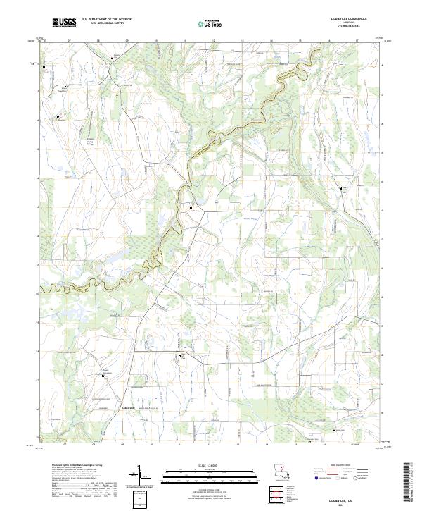
2024 Liddieville
Franklin Parish, LA
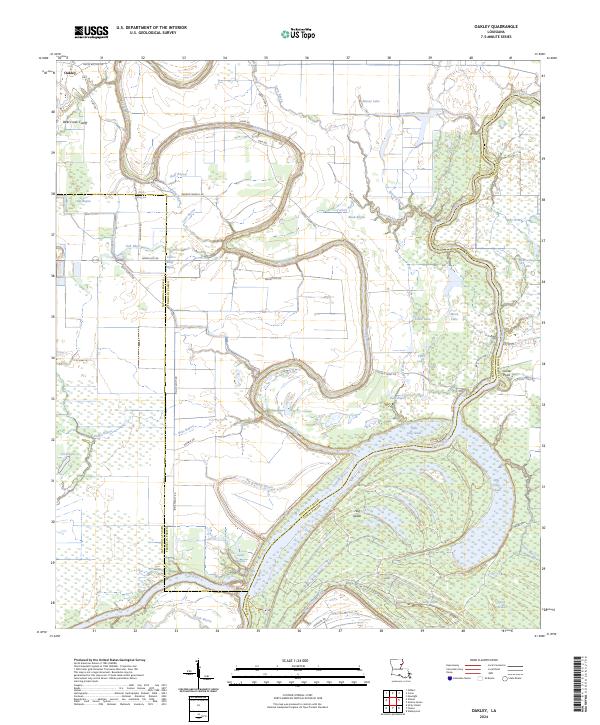
2024 Oakley
Franklin Parish, LA