
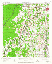
1957 Map of Mangham
USGS Topo · Published 1958About this map
Rayville and Mangham serve as the primary hubs in this delta landscape, which is defined by an intricate network of waterways and early 1950s infrastructure. The Boeuf River meanders through the central terrain, flanked by numerous brake areas like Etheridge Brake and Binion Brake. This era shows a community deeply rooted in its rural institutions, with dozens of country churches such as Mt Zion Ch and New Morning Star Ch dotting the plantation lands and small settlements.
Find a feature on this map
92 named features on this map. Tap any name to fly to it.
Don’t see what you’re looking for? This feature index may not catch every label — zoom into the map to look around manually.
Map Details
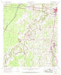
Editions of this 1957 Mangham Map
3 editions found
Other maps of this area

1935 · Collinston
USGS Topo · 1:62,500

1935 · Winnsboro
USGS Topo · 1:62,500

1935 · Alto
USGS Topo · 1:62,500

1935 · Baskinton
USGS Topo · 1:62,500

1935 · Hurricane
USGS Topo · 1:62,500

1935 · Drew
USGS Topo · 1:62,500

1939 · Fort Necessity
USGS Topo · 1:62,500

1940 · Monroe
USGS Topo · 1:62,500

1940 · Columbia
USGS Topo · 1:62,500

1955 · Jackson
USGS Topo · 1:250,000