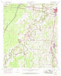
1957 Map of Mangham
USGS Topo · Published 1969About this map
Rayville and the winding Boeuf River anchor this mid-century portrait of northeastern Louisiana's alluvial plains. The landscape is defined by its complex hydrology, where the Diversion Canal Lafourche and numerous bayous like Gourd Bayou and Luke Clear Bayou cut through the fertile bottomlands. These waterways, alongside brakes like Baton Brake and Ethridge Brake, dictated the placement of small communities and family-centered landmarks.
Find a feature on this map
86 named features on this map. Tap any name to fly to it.
Don’t see what you’re looking for? This feature index may not catch every label — zoom into the map to look around manually.
Map Details
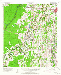
Editions of this 1957 Mangham Map
3 editions found

Other maps of this area

1935 · Collinston
USGS Topo · 1:62,500

1935 · Winnsboro
USGS Topo · 1:62,500

1935 · Alto
USGS Topo · 1:62,500

1935 · Baskinton
USGS Topo · 1:62,500

1935 · Hurricane
USGS Topo · 1:62,500

1935 · Drew
USGS Topo · 1:62,500

1939 · Fort Necessity
USGS Topo · 1:62,500

1940 · Monroe
USGS Topo · 1:62,500

1940 · Columbia
USGS Topo · 1:62,500

1955 · Jackson
USGS Topo · 1:250,000