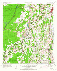
1957 Map of Mangham
USGS Topo · Published 1964About this map
River Boeuf snakes through the heart of this Richland Parish landscape, defining a complex network of meanders, sloughs, and brakes that dictated the early layout of plantation and farm life. The extensive system of bayous, including Gourd Bayou, Kelley Bayou, and Muddy Bayou, created a fertile but challenging terrain for 1950s residents. The map captures a moment when rural life centered around a dense network of country churches and schools, such as New Morning Star Ch and Rhymes High Sch.
Find a feature on this map
108 named features on this map. Tap any name to fly to it.
Don’t see what you’re looking for? This feature index may not catch every label — zoom into the map to look around manually.
Map Details
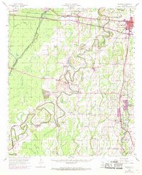
Editions of this 1957 Mangham Map
3 editions found

Other maps of this area

1935 · Collinston
USGS Topo · 1:62,500

1935 · Winnsboro
USGS Topo · 1:62,500

1935 · Alto
USGS Topo · 1:62,500

1935 · Baskinton
USGS Topo · 1:62,500

1935 · Hurricane
USGS Topo · 1:62,500

1935 · Drew
USGS Topo · 1:62,500

1939 · Fort Necessity
USGS Topo · 1:62,500

1940 · Monroe
USGS Topo · 1:62,500

1940 · Columbia
USGS Topo · 1:62,500

1955 · Jackson
USGS Topo · 1:250,000