
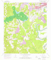
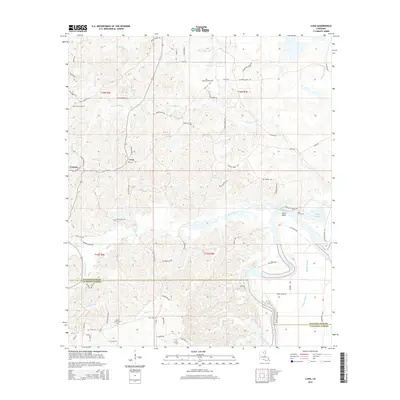
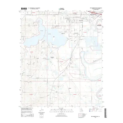
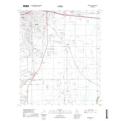
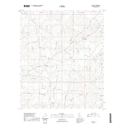
1935 Map of Drew
USGS Topo · Published 1947About this map
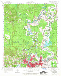
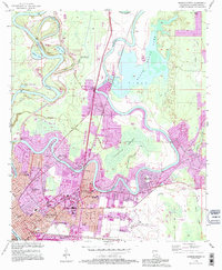
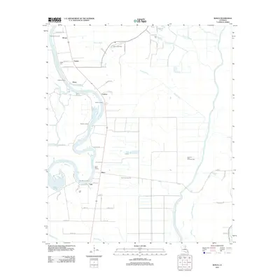
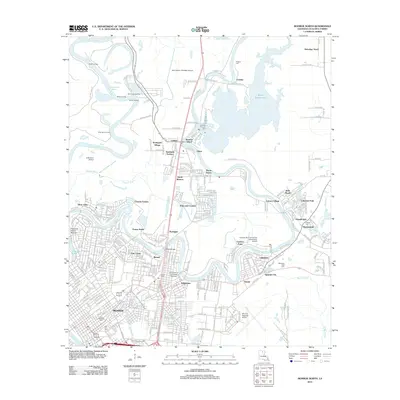
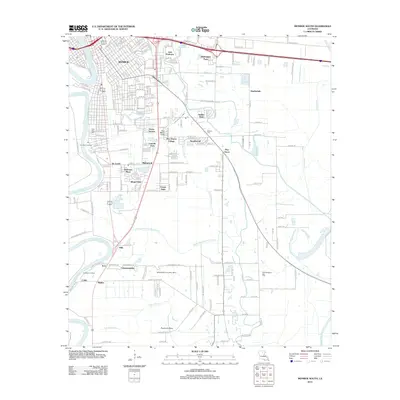
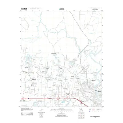
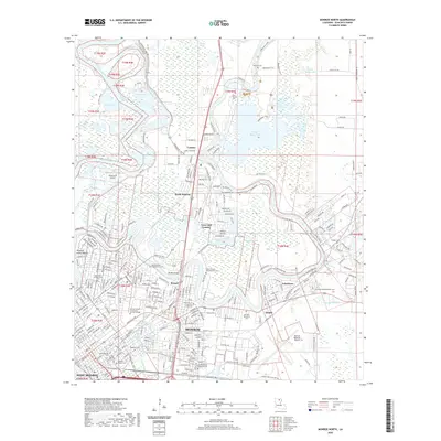
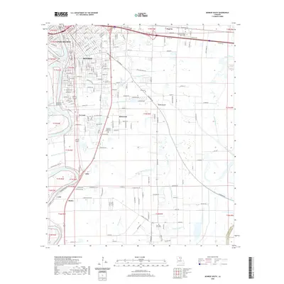
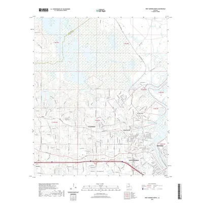
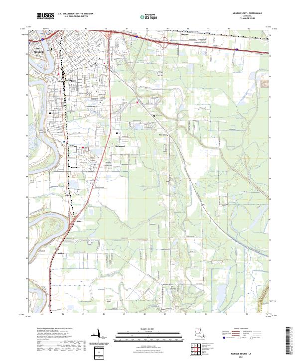
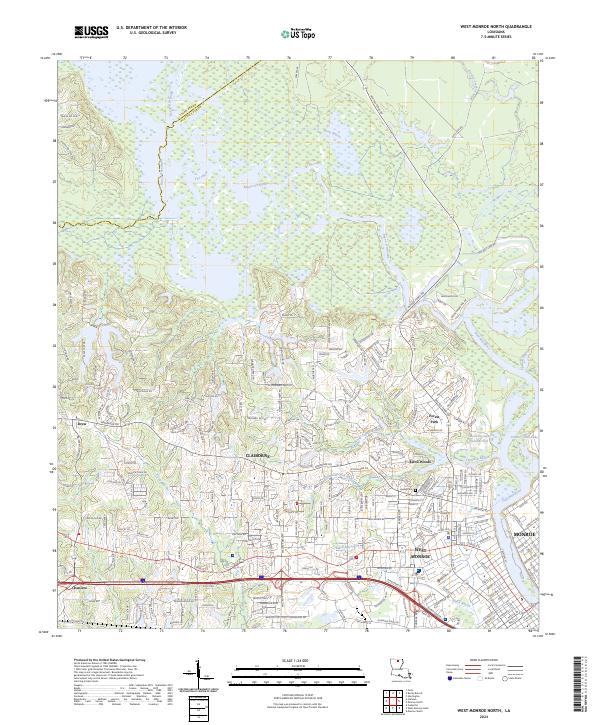
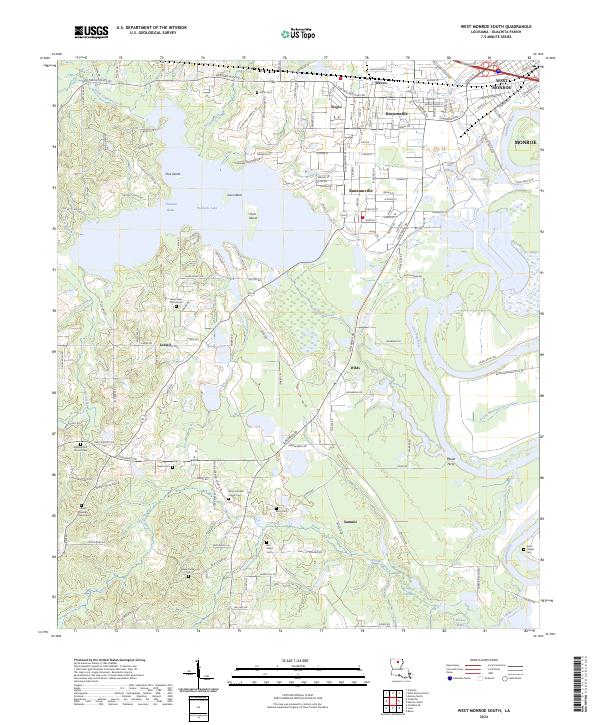
The Quachita River meanders through a landscape of oxbow lakes and dense riverine networks in this mid-1930s survey of Northern Louisiana. The cities of Monroe and West Monroe serve as the industrial anchors at the southern edge, featuring the Monroe Water and Power Plant and the Monroe Pumping Station. Before modern bridges dominated the corridor, transit across the water depended on historic crossings like Whites Ferry, Phillips Ferry, and the Quachita City Ferry.
Find a feature on this map
59 named features on this map. Tap any name to fly to it.
Don’t see what you’re looking for? This feature index may not catch every label — zoom into the map to look around manually.
Map Details
Editions of this 1935 Drew Map
This is the sole edition of this map. No revisions or reprints were ever made.
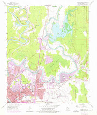
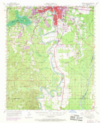
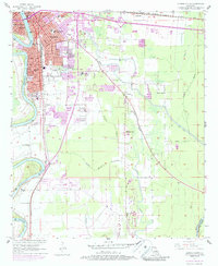
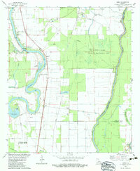
Historical Maps of Monroe Through Time
53 maps found
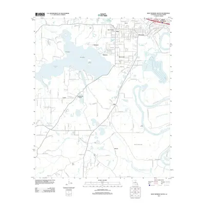
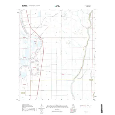
1935 Drew
Ouachita Parish, LA
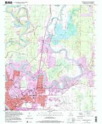
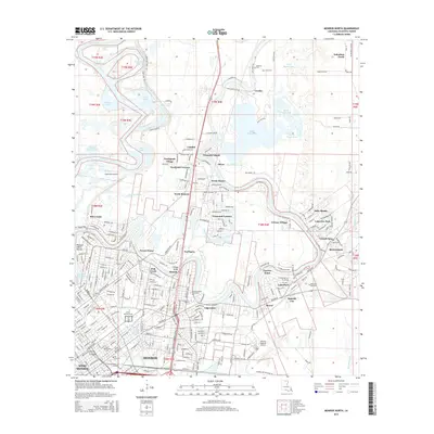
1957 Monroe North
Ouachita Parish, LA
1957 Monroe North
Ouachita Parish, LA
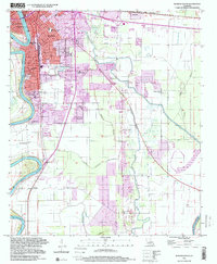
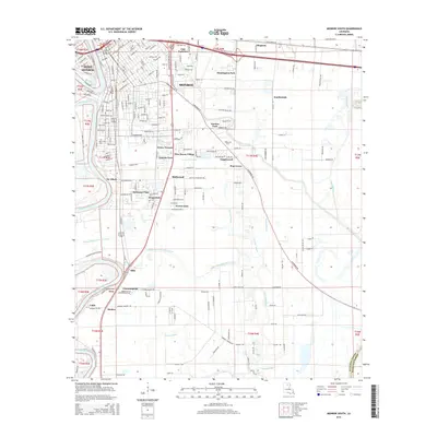
1957 Monroe South
Ouachita Parish, LA
1957 Monroe South
Ouachita Parish, LA

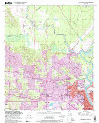
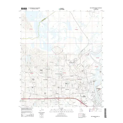
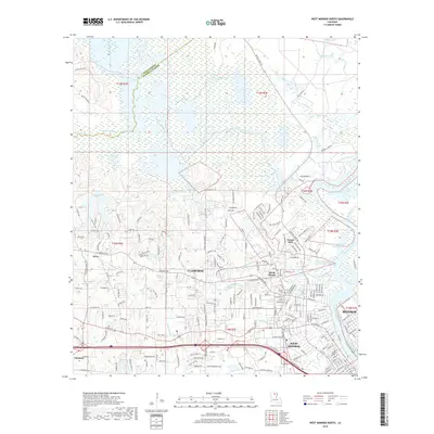
1957 West Monroe North
Ouachita Parish, LA
1957 West Monroe South
Ouachita Parish, LA

1969 Monroe North
Ouachita Parish, LA
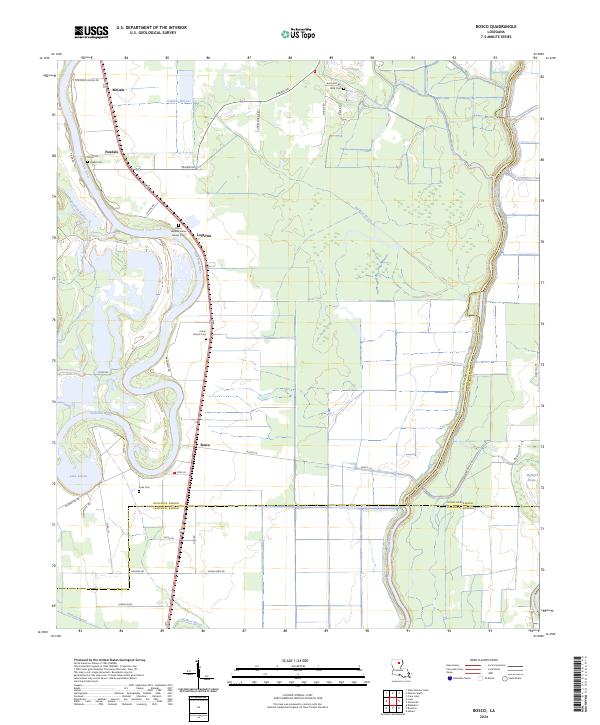
1982 Bosco
Ouachita Parish, LA
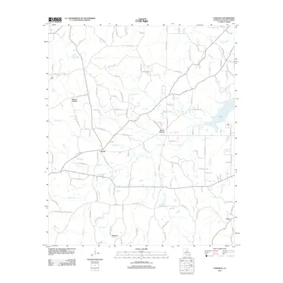
1982 Cadeville
Ouachita Parish, LA
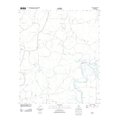
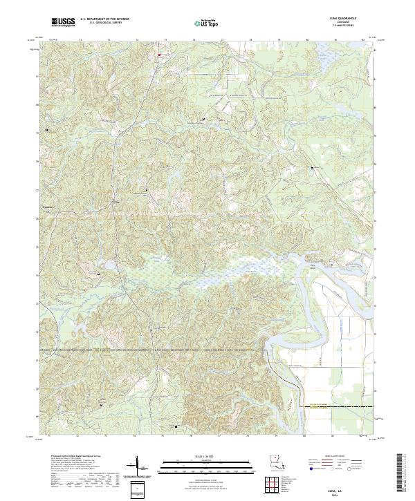
1982 Luna
Ouachita Parish, LA
1994 Monroe North
Ouachita Parish, LA
1994 Monroe South
Ouachita Parish, LA
1994 West Monroe North
Ouachita Parish, LA
1994 West Monroe South
Ouachita Parish, LA
1999 Monroe North
Ouachita Parish, LA
1999 Monroe South
Ouachita Parish, LA
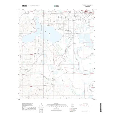
1999 West Monroe North
Ouachita Parish, LA
2012 Bosco
Ouachita Parish, LA
2012 Cadeville
Ouachita Parish, LA
2012 Luna
Ouachita Parish, LA
2012 Monroe North
Ouachita Parish, LA
2012 Monroe South
Ouachita Parish, LA
2012 West Monroe North
Ouachita Parish, LA
2012 West Monroe South
Ouachita Parish, LA
2015 Bosco
Ouachita Parish, LA
2015 Cadeville
Ouachita Parish, LA
2015 Luna
Ouachita Parish, LA
2015 Monroe North
Ouachita Parish, LA
2015 Monroe South
Ouachita Parish, LA
2015 West Monroe North
Ouachita Parish, LA
2015 West Monroe South
Ouachita Parish, LA
2018 Bosco
Ouachita Parish, LA
2018 Cadeville
Ouachita Parish, LA
2018 Luna
Ouachita Parish, LA

2018 Monroe North
Ouachita Parish, LA
2018 Monroe South
Ouachita Parish, LA
2018 West Monroe North
Ouachita Parish, LA
2018 West Monroe South
Ouachita Parish, LA
2020 Bosco
Ouachita Parish, LA
2020 Cadeville
Ouachita Parish, LA

2020 Luna
Ouachita Parish, LA
2020 Monroe North
Ouachita Parish, LA
2020 Monroe South
Ouachita Parish, LA
2020 West Monroe North
Ouachita Parish, LA
2020 West Monroe South
Ouachita Parish, LA
2024 Bosco
Ouachita Parish, LA

2024 Cadeville
Ouachita Parish, LA
2024 Luna
Ouachita Parish, LA
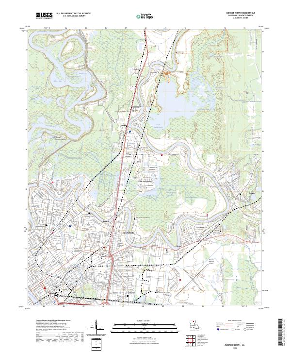
2024 Monroe North
Ouachita Parish, LA
2024 Monroe South
Ouachita Parish, LA
2024 West Monroe North
Ouachita Parish, LA
2024 West Monroe South
Ouachita Parish, LA