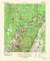
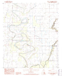
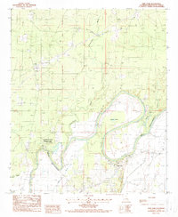
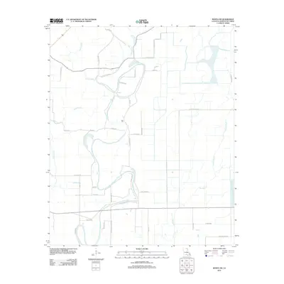
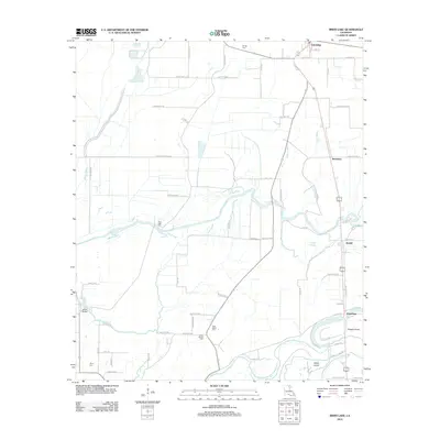
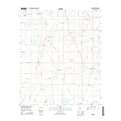
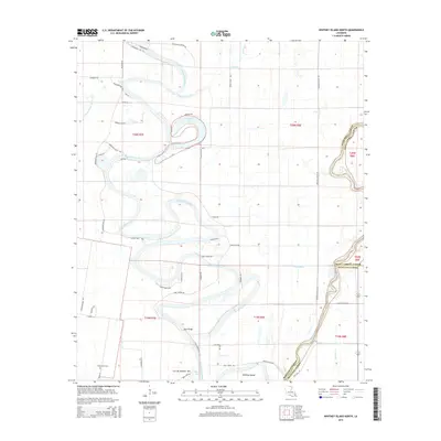
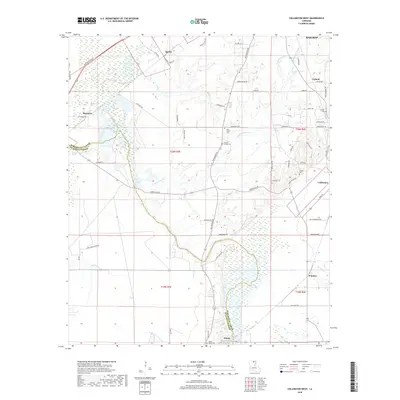
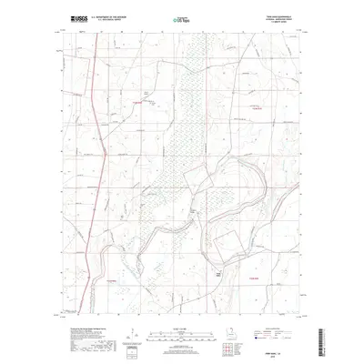
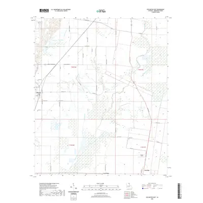
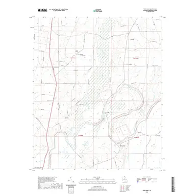
1935 Map of Naff
USGS Topo · Published 1936About this map
Bastrop serves as the focal point of this 1930s era survey, where the Missouri Pacific RR and early electrical infrastructure like the Louisiana Power & Light Co 110 KV line meet the winding wetlands of Morehouse Parish. The landscape is defined by the complex hydrology of Bayou Bartholomew and the Boeuf River, which are flanked by numerous brakes and sloughs such as Pratt Brake and White Oak Slough. Rural life is etched into the terrain through a network of country churches and schools, including Washington Chapel, St Johns Ch, and the Tillon Sch. Evidence of the region's industrial development is present in the form of gas lines like the United Carbon Co 8" gas line, while the Forest Service Observation Tower near Naff stands as a sentinel over the timberlands.
Find a feature on this map
69 named features on this map. Tap any name to fly to it.
Don’t see what you’re looking for? This feature index may not catch every label — zoom into the map to look around manually.
Map Details
Editions of this 1935 Naff Map
This is the sole edition of this map. No revisions or reprints were ever made.
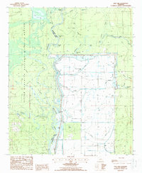
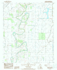
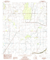
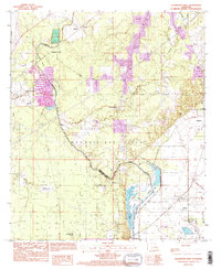
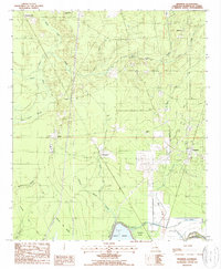
Historical Maps of Bastrop Through Time
56 maps found
1935 Naff
Morehouse Parish, LA
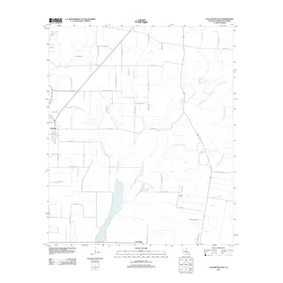
1982 Collinston East
Morehouse Parish, LA
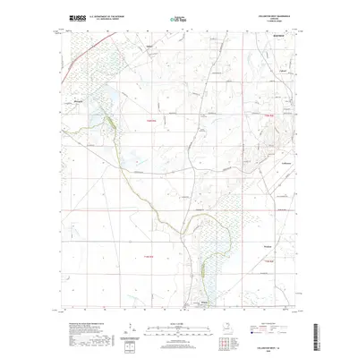
1982 Collinston West
Morehouse Parish, LA
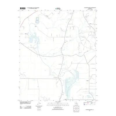
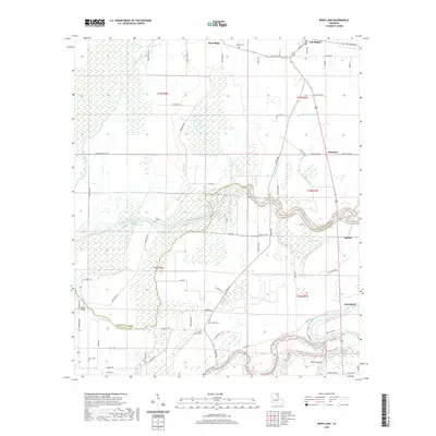
1982 Irwin Lake
Morehouse Parish, LA
1986 Whitney Island North
Morehouse Parish, LA
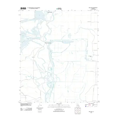
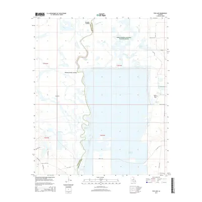
1987 Fish Lake
Morehouse Parish, LA
1988 Bonita SW
Morehouse Parish, LA
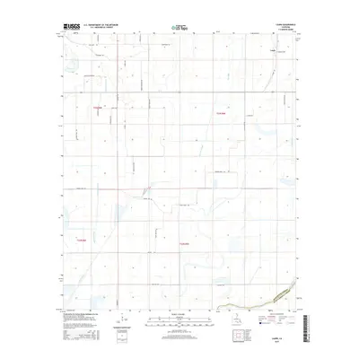
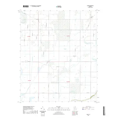
1988 Laark
Morehouse Parish, LA
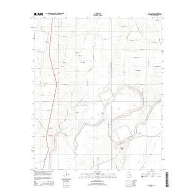
1988 Twin Oaks
Morehouse Parish, LA
1994 Collinston West
Morehouse Parish, LA
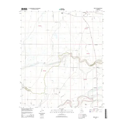
1998 Beekman
Morehouse Parish, LA
2012 Beekman
Morehouse Parish, LA
2012 Bonita SW
Morehouse Parish, LA
2012 Collinston East
Morehouse Parish, LA
2012 Collinston West
Morehouse Parish, LA
2012 Fish Lake
Morehouse Parish, LA
2012 Irwin Lake
Morehouse Parish, LA
2012 Laark
Morehouse Parish, LA
2012 Twin Oaks
Morehouse Parish, LA
2012 Whitney Island North
Morehouse Parish, LA
2015 Beekman
Morehouse Parish, LA
2015 Bonita SW
Morehouse Parish, LA
2015 Collinston East
Morehouse Parish, LA
2015 Collinston West
Morehouse Parish, LA
2015 Fish Lake
Morehouse Parish, LA
2015 Irwin Lake
Morehouse Parish, LA
2015 Laark
Morehouse Parish, LA
2015 Twin Oaks
Morehouse Parish, LA
2015 Whitney Island North
Morehouse Parish, LA
2018 Beekman
Morehouse Parish, LA
2018 Bonita SW
Morehouse Parish, LA
2018 Collinston East
Morehouse Parish, LA
2018 Collinston West
Morehouse Parish, LA
2018 Fish Lake
Morehouse Parish, LA
2018 Irwin Lake
Morehouse Parish, LA
2018 Laark
Morehouse Parish, LA
2018 Twin Oaks
Morehouse Parish, LA
2018 Whitney Island North
Morehouse Parish, LA
2020 Beekman
Morehouse Parish, LA
2020 Bonita SW
Morehouse Parish, LA
2020 Collinston East
Morehouse Parish, LA
2020 Collinston West
Morehouse Parish, LA

2020 Fish Lake
Morehouse Parish, LA
2020 Irwin Lake
Morehouse Parish, LA
2020 Laark
Morehouse Parish, LA
2020 Twin Oaks
Morehouse Parish, LA
2020 Whitney Island North
Morehouse Parish, LA
2024 Beekman
Morehouse Parish, LA
2024 Bonita SW
Morehouse Parish, LA
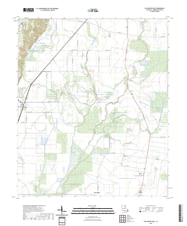
2024 Collinston East
Morehouse Parish, LA
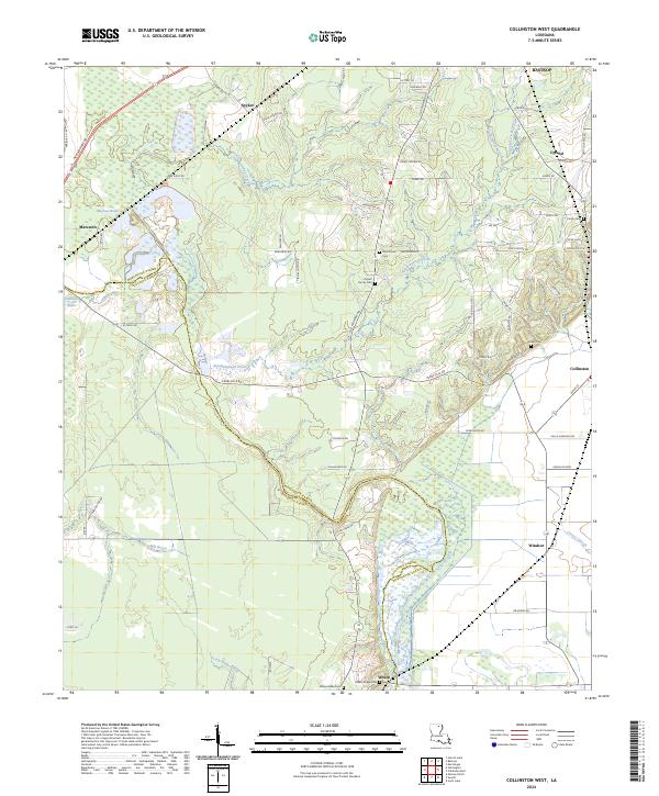
2024 Collinston West
Morehouse Parish, LA
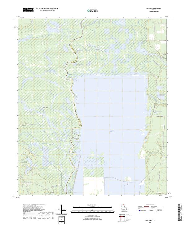
2024 Fish Lake
Morehouse Parish, LA
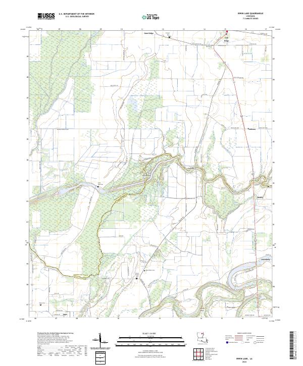
2024 Irwin Lake
Morehouse Parish, LA
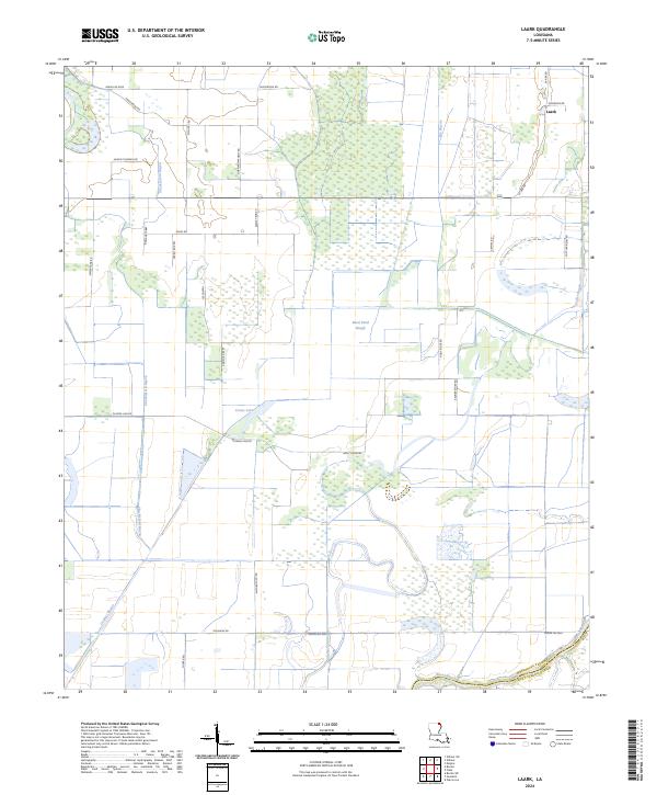
2024 Laark
Morehouse Parish, LA
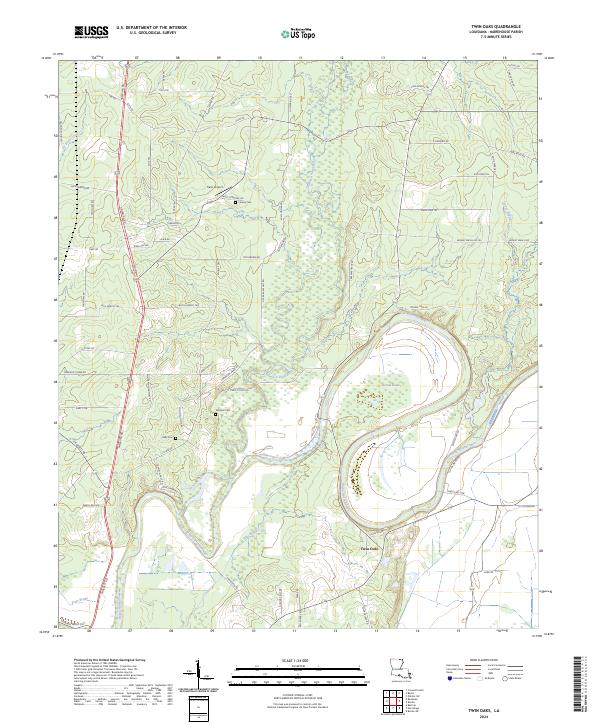
2024 Twin Oaks
Morehouse Parish, LA
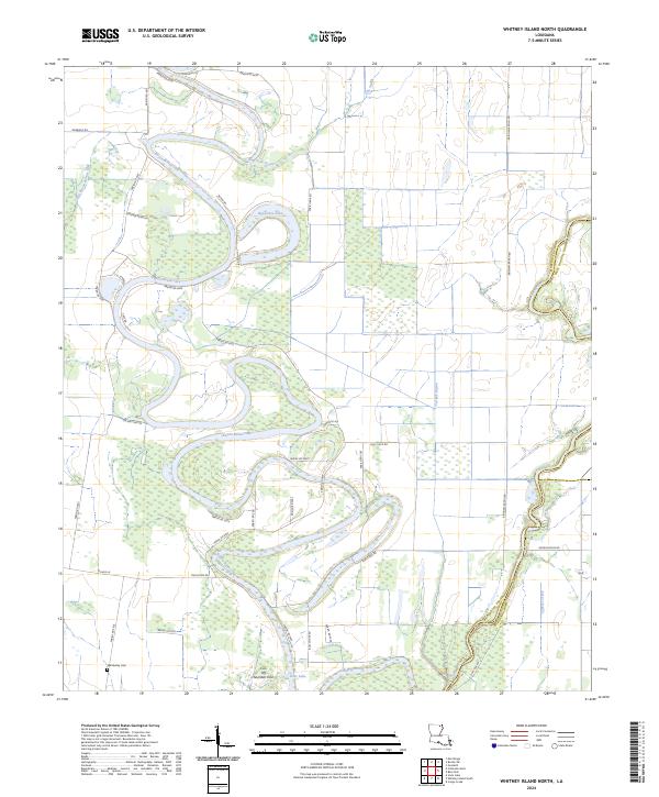
2024 Whitney Island North
Morehouse Parish, LA