Loading...
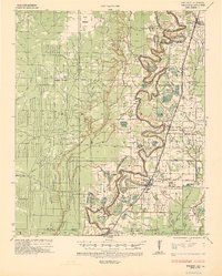
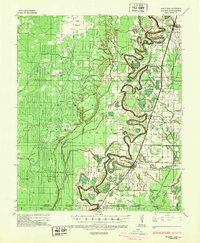
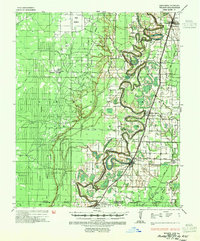
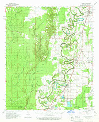
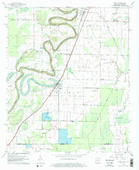
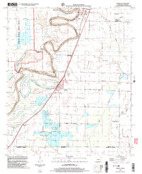
Loading map...1935 Map of Wilmot
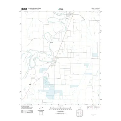
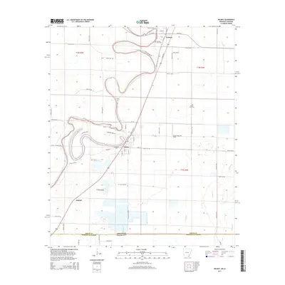
USGS Topo · Published 1936About this map
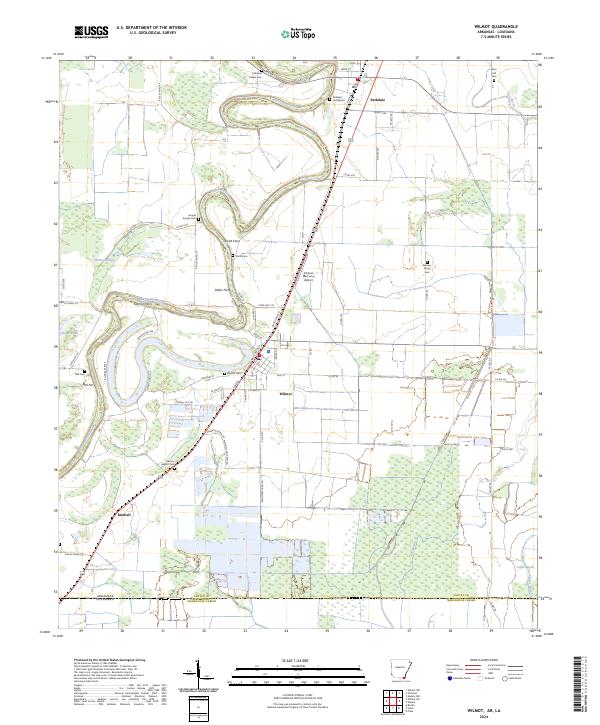
Bayou Bartholomew dominates this landscape, its tight meanders and oxbows defining the geography of south Ashley County just above the Louisiana state line. The river serves as a corridor for commerce and community, marked by numerous landings such as Eadman Gin Ldg, Ohio Ldg, and Tebbs Ldg which supported the local cotton economy. Local life in the mid-1930s centered on the rail stops and river towns of Wilmot and Parkdale, where the Missouri Pacific railroad runs parallel to the water.
Find a feature on this map
52 named features on this map. Tap any name to fly to it.
Don’t see what you’re looking for? This feature index may not catch every label — zoom into the map to look around manually.
Map Details
Date Portrayed1935
Date Published1936
PublisherU.S. Geological Survey
Map TypeTopographic
Scale1:62,500
Physical Dimensions17.24 x 21.43 inches
Editions of this 1935 Wilmot Map
3 editions found
Historical Maps of Wilmot Through Time
9 maps found
Featured Locations
Source Details
SourceU.S. Geological Survey
CopyrightPublic Domain