
1952 Map of Farmerville
USGS Topo · Published 1953About this map
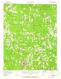
Farmerville serves as the focal point of this northern Louisiana landscape, situated just north of Bayou D'Arbonne in the early 1950s. The map illustrates a rural society deeply rooted in its small communities and country parishes, with a high concentration of Baptist and Methodist houses of worship like Zion Hill Ch, Bird Chapel, and Mt Union Ch serving as local landmarks. The Louisiana & Northwest RR and the Pacific Railroad cut through the timber and agricultural lands, connecting settlements like Truxno and Oakland to the wider region. Along the Arkansas border, Donaghey State Park provides a preserved space amid a terrain punctuated by Oil Wells and numerous family cemeteries, including Pearson Cem and Old Tennessee Cem, which offer significant data points for genealogical research into the families of Union Parish.
Find a feature on this map
66 named features on this map. Tap any name to fly to it.
Don’t see what you’re looking for? This feature index may not catch every label — zoom into the map to look around manually.
Map Details
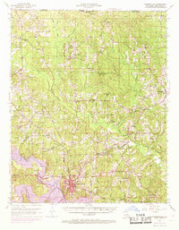
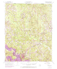
Editions of this 1952 Farmerville Map
4 editions found
Other maps of this area

1927 · El Dorado
USGS Topo · 1:62,500

1930 · El Dorado
USGS Topo · 1:62,500

1933 · Strong
USGS Topo · 1:62,500

1934 · Felsenthal
USGS Topo · 1:62,500

1935 · Drew
USGS Topo · 1:62,500

1935 · Haile
USGS Topo · 1:62,500

1937 · Strong
USGS Topo · 1:62,500

1937 · Felsenthal
USGS Topo · 1:62,500

1938 · Felsenthal
USGS Topo · 1:62,500

1939 · Felsenthal
USGS Topo · 1:62,500