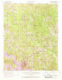
1952 Map of Farmerville
USGS Topo · Published 1969About this map
Farmerville serves as the focal point of this Union Parish survey, situated just north of the recently formed Bayou D'Arbonne Lake. The landscape is a complex network of timberlands and drainage basins, defined by the winding course of Bayou de Loutre and its numerous tributaries like Little Judy Creek and Owl Creek. The northern border marks the transition into Arkansas, where Donaghey State Park is located.
Find a feature on this map
74 named features on this map. Tap any name to fly to it.
Don’t see what you’re looking for? This feature index may not catch every label — zoom into the map to look around manually.
Map Details
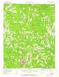
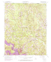
Editions of this 1952 Farmerville Map
4 editions found

Other maps of this area

1927 · El Dorado
USGS Topo · 1:62,500

1930 · El Dorado
USGS Topo · 1:62,500

1933 · Strong
USGS Topo · 1:62,500

1934 · Felsenthal
USGS Topo · 1:62,500

1935 · Drew
USGS Topo · 1:62,500

1935 · Haile
USGS Topo · 1:62,500

1937 · Strong
USGS Topo · 1:62,500

1937 · Felsenthal
USGS Topo · 1:62,500

1938 · Felsenthal
USGS Topo · 1:62,500

1939 · Felsenthal
USGS Topo · 1:62,500