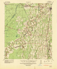
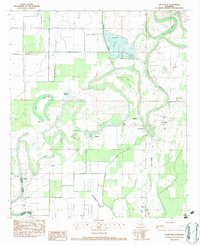
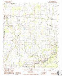
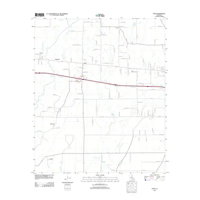
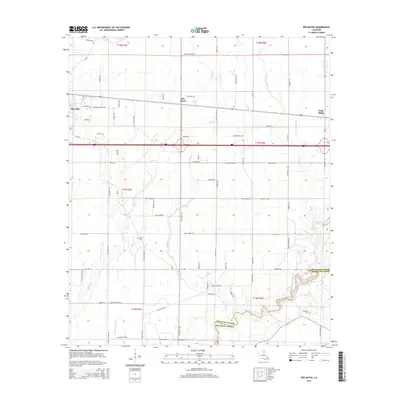
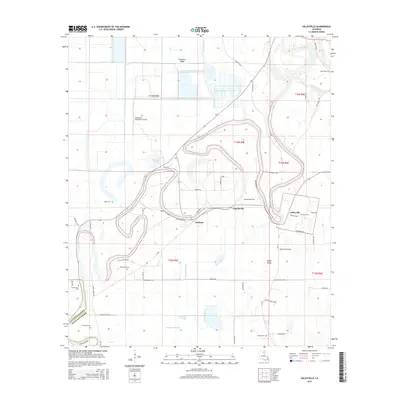
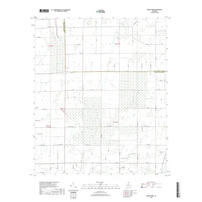
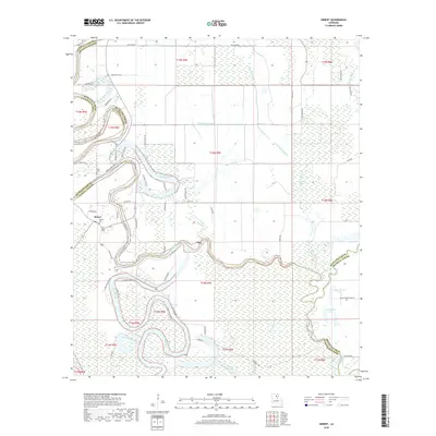
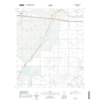
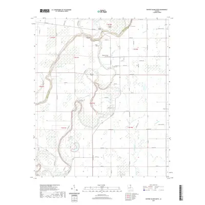
1935 Map of Alto
USGS Topo · Published 1936About this map
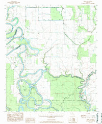
The Boeuf River meanders through the heart of this North Louisiana landscape, where the agricultural traditions of Richland Parish met the emerging energy infrastructure of the mid-1930s. Centered on the town of Alto, the map documents a transition in regional industry, featuring the Century Carbon Company and the International Gas Products Company Inc near Archibald. This era saw a complex network of pipelines, such as the Interstate Natural Gas Company lines, cutting across established plantation and timber grounds.
Find a feature on this map
63 named features on this map. Tap any name to fly to it.
Don’t see what you’re looking for? This feature index may not catch every label — zoom into the map to look around manually.
Map Details
Editions of this 1935 Alto Map
2 editions found
Historical Maps of Monroe Through Time
45 maps found
1935 Alto
Richland Parish, LA

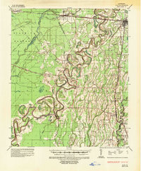
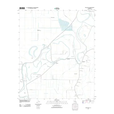
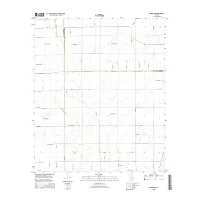
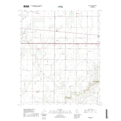
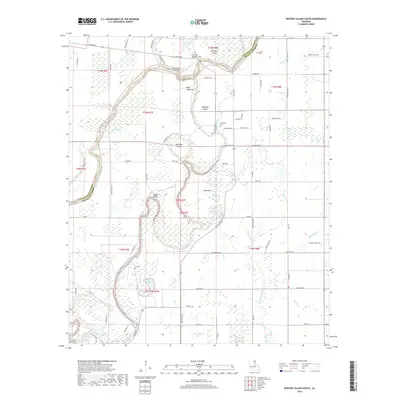
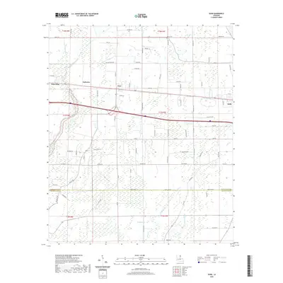
1935 Hurricane
Richland Parish, LA
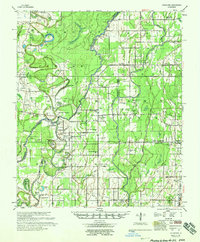
1958 Hurricane
Richland Parish, LA
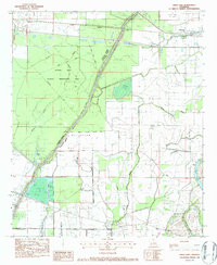
1982 Crew Lake
Richland Parish, LA
1982 Gilleyville
Richland Parish, LA
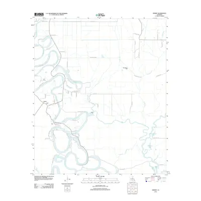
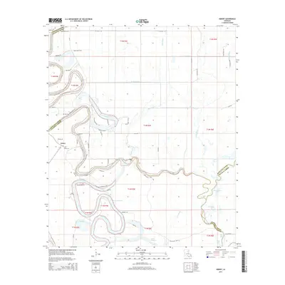
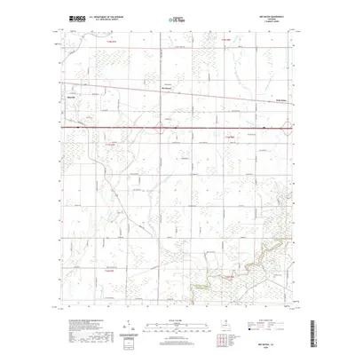
1983 Hebert
Richland Parish, LA
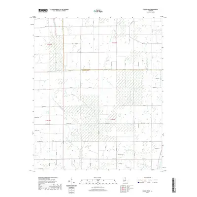
1986 Congo Creek
Richland Parish, LA
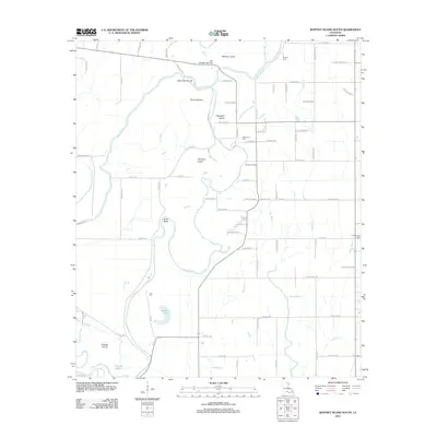
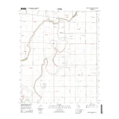
1986 Whitney Island South
Richland Parish, LA
1987 Bee Bayou
Richland Parish, LA

1987 Dunn
Richland Parish, LA
2012 Bee Bayou
Richland Parish, LA
2012 Congo Creek
Richland Parish, LA
2012 Crew Lake
Richland Parish, LA
2012 Dunn
Richland Parish, LA
2012 Gilleyville
Richland Parish, LA
2012 Hebert
Richland Parish, LA
2012 Whitney Island South
Richland Parish, LA
2015 Bee Bayou
Richland Parish, LA
2015 Congo Creek
Richland Parish, LA
2015 Crew Lake
Richland Parish, LA
2015 Dunn
Richland Parish, LA
2015 Gilleyville
Richland Parish, LA
2015 Hebert
Richland Parish, LA
2015 Whitney Island South
Richland Parish, LA
2018 Bee Bayou
Richland Parish, LA
2018 Congo Creek
Richland Parish, LA
2018 Crew Lake
Richland Parish, LA
2018 Dunn
Richland Parish, LA
2018 Gilleyville
Richland Parish, LA
2018 Hebert
Richland Parish, LA
2018 Whitney Island South
Richland Parish, LA
2020 Bee Bayou
Richland Parish, LA
2020 Congo Creek
Richland Parish, LA
2020 Crew Lake
Richland Parish, LA
2020 Dunn
Richland Parish, LA
2020 Gilleyville
Richland Parish, LA
2020 Hebert
Richland Parish, LA
2020 Whitney Island South
Richland Parish, LA
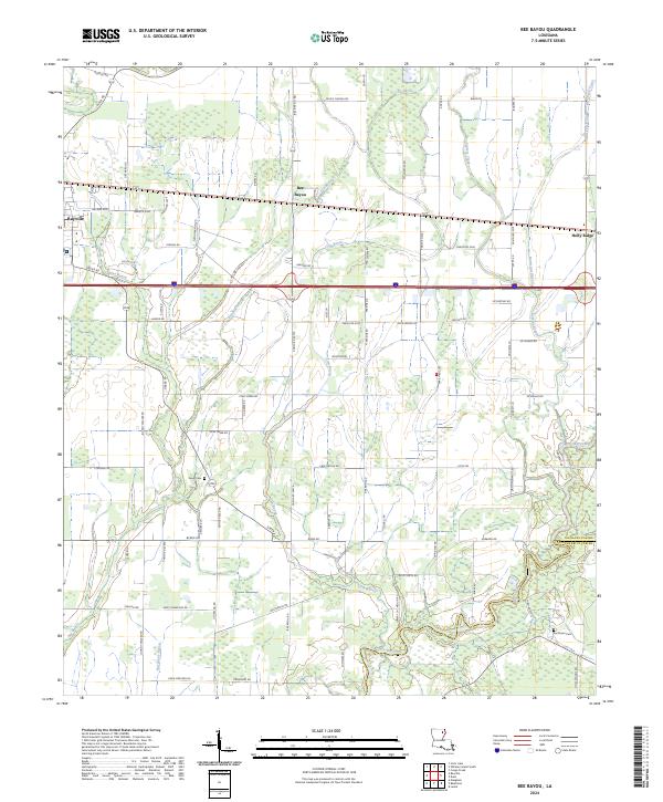
2024 Bee Bayou
Richland Parish, LA
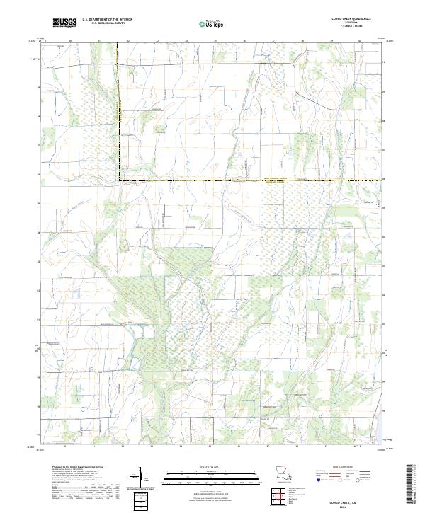
2024 Congo Creek
Richland Parish, LA
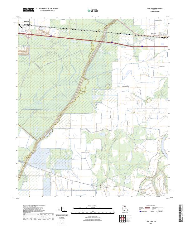
2024 Crew Lake
Richland Parish, LA
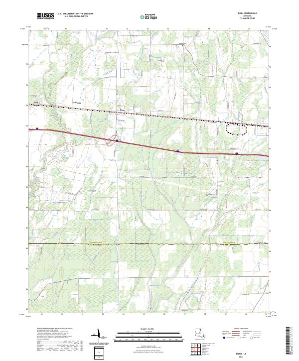
2024 Dunn
Richland Parish, LA
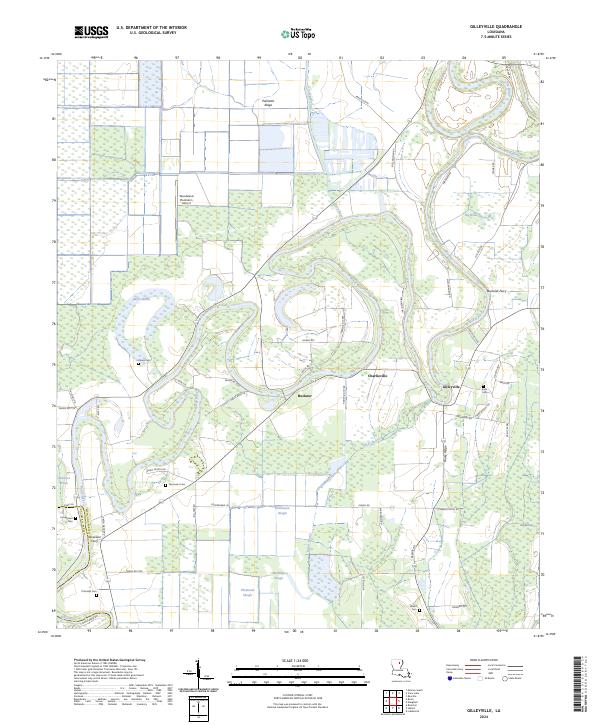
2024 Gilleyville
Richland Parish, LA
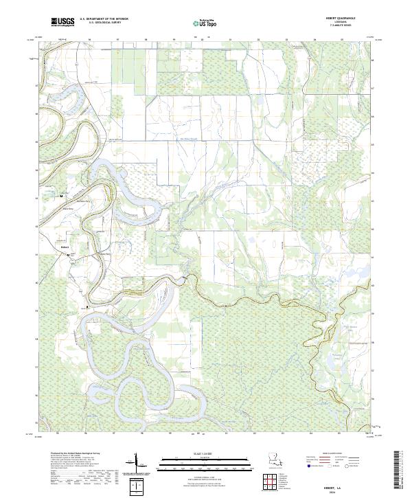
2024 Hebert
Richland Parish, LA
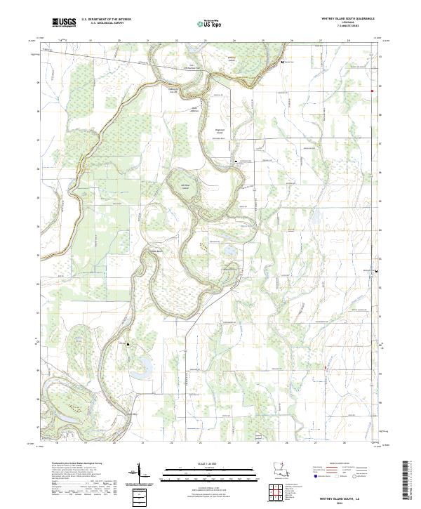
2024 Whitney Island South
Richland Parish, LA