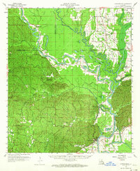
1959 Map of Harrisonburg
USGS Topo · Published 1964About this map
Harrisonburg stands as the focal point of this late 1950s survey, situated along the western bank of the Ouachita River where the waterway snakes through a complex system of oxbows and islands. The landscape transitions sharply from the elevated, dissected terrain of the Dan Hills in the west to the low-lying alluvial plains of the Catahoula Parish and Franklin Parish border. This period captures the early industrial footprint of the Harrisonburg Oil Field and scattered Gravel Pit operations alongside older agrarian markers.
Find a feature on this map
81 named features on this map. Tap any name to fly to it.
Don’t see what you’re looking for? This feature index may not catch every label — zoom into the map to look around manually.
Map Details
Editions of this 1959 Harrisonburg Map
3 editions found

Other maps of this area

1935 · Winnsboro
USGS Topo · 1:62,500

1939 · Red Gum
USGS Topo · 1:62,500

1939 · Fort Necessity
USGS Topo · 1:62,500

1940 · Columbia
USGS Topo · 1:62,500

1941 · Manifest
USGS Topo · 1:62,500

1941 · Sicily Island
USGS Topo · 1:62,500

1941 · Jena
USGS Topo · 1:62,500

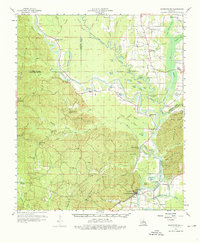
1941 · Harrisonburg
USGS Topo · 1:62,500

1953 · Alexandria
USGS Topo · 1:250,000

1953 · Natchez
USGS Topo · 1:250,000