Old Maps of Bougere, Louisiana for Hiking & Exploration
Hike through history with 13 historic maps of Bougere. Explore old trails, ghost towns, and forgotten backroads — perfect for outdoor adventurers and local explorers.
- Rediscover forgotten places: Map out old mining camps, roads, and footpaths that no longer exist on modern maps.
- Layer with modern tools: Combine with LiDAR or satellite views to plan hikes through historical terrain.
- Made for exploration: Popular among hikers, overlanders, and local history lovers.
Use these maps to find adventure and explore the hidden past of Bougere.
Bougere, LA maps
(13)- 1939 Map of Deer Park, 1951 Print
 1939 Deer Park1951 Print · USGSThe Lower Mississippi River valley in the late thirties reveals a landscape of massive plantations and shifting river bends. Genealogists and historians can trace family land in Moro Plantation, locate schools like Central High School, or find small settlements such as Monterey and Arnot.
 - 1953 Map of Natchez, 1966 Print
 1953 Natchez1966 Print · USGSSouthwest Mississippi and the Louisiana border country come alive in this mid-century survey of the river valley and forest lands. Researchers can trace the rail lines of the Illinois Central RR and locate rural hubs like Gloster and Ferriday.3 unique versions available
 - 1956 Map of Natchez
 1956 Natchez1956 Print · USGSThe Mississippi River borderlands and the Pine Hills come alive in this mid-fifties study of the Natchez region. Genealogists and historians can trace rail-era towns along the Illinois Central RR and explore the oxbows of Lake Bruin and Lake Concordia.
 - 1959 Map of Natchez
 1959 Natchez1959 Print · USGSSouthwestern Mississippi and eastern Louisiana are captured in the late fifties, showing a landscape defined by the winding Mississippi River and the timbered Homochitto National Forest. Researchers can trace the sprawling Illinois Central RR and find rural landmarks like Union Church and Camp Van Dorn (Abandoned).
 - 1961 Map of Monterey, 1963 Print
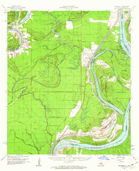 1961 Monterey1963 Print · USGSConcordia Parish in the early sixties is a landscape of winding bayous and active oil fields. Genealogists can locate family landmarks like Pt Pleasant Cem and Ashland Cem, or trace the path of the Old Railroad near Monterey.3 unique versions available
 - 1983 Map of Slocum, 1984 Print
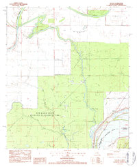 1983 Slocum1984 Print · USGSConcordia Parish in the early eighties was a landscape of river engineering and petroleum production along the Mississippi River. Researchers can trace the development of the Slocum Oil Field, find the Slocum settlement near the levee, and locate Patton Lake within the Red River State Wildlife Management Area.2 unique versions available
 - 1984 Map of Woodville
 1984 Woodville1984 Print · USGSThe Mississippi-Louisiana borderlands in the mid-eighties show a landscape defined by the shifting MISSISSIPPI RIVER and sprawling timberlands. Researchers can trace the ILLINOIS CENTRAL GULF railroad through Gloster or locate historic river points like Fort Adams and Point Breeze.
 - 1991 Map of Woodville
 1991 Woodville1991 Print · USGSWilkinson County and the Louisiana borderlands appear here in the early nineties, where the bluffs meet the Mississippi River floodplain. Trace the sites of old river landings and rural outposts like Fort Adams, Pinckneyville, and the remote Larto Lake community.
 - 2012 Map of Slocum, 2012 Print
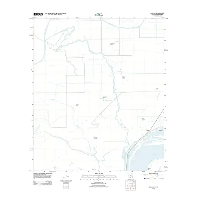 2012 Slocum2012 Print · USGSConcordia Parish at the start of the twenty-first century reveals a terrain shaped by the oil industry and the Mississippi's shifting currents. Researchers can trace the layout of local energy production at the Slocum Oil Field and locate the settlements of Slocum and Bougere.
 - 2015 Map of Slocum, 2015 Print
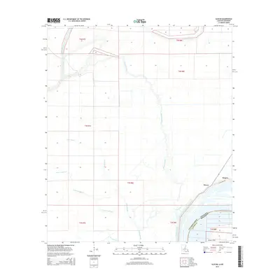 2015 Slocum2015 Print · USGSConcordia Parish, Louisiana, and Adams County, Mississippi, meet here along the river's edge in the early twenty-first century. Genealogists and local researchers can trace the drainage of the alluvial bottomlands through Bayou Cocodrie and locate settlements like Slocum and Bougere.
 - 2018 Map of Slocum, 2018 Print
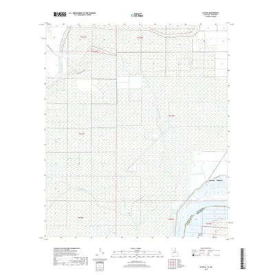 2018 Slocum2018 Print · USGSConcordia Parish and the Mississippi River border appear here in the late 2010s, showing a landscape defined by seasonal water and levee protection. Researchers can trace the river's edge at Jackson Point and the small settlements of Slocum and Bougere along Slocum Levee Rd.
 - 2020 Map of Slocum, 2020 Print
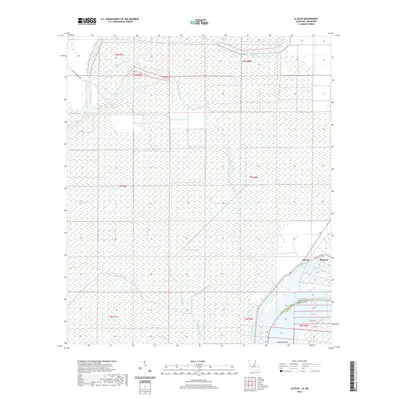 2020 Slocum2020 Print · USGSConcordia Parish at the turn of the 21st century remains a landscape defined by the water of the Mississippi Delta. Local historians can trace the riverside settlements of Slocum and Bougere along the Slocum Levee Rd and explore the winding path of Bayou Cocodrie.
 - 2024 Map of Slocum, 2024 Print
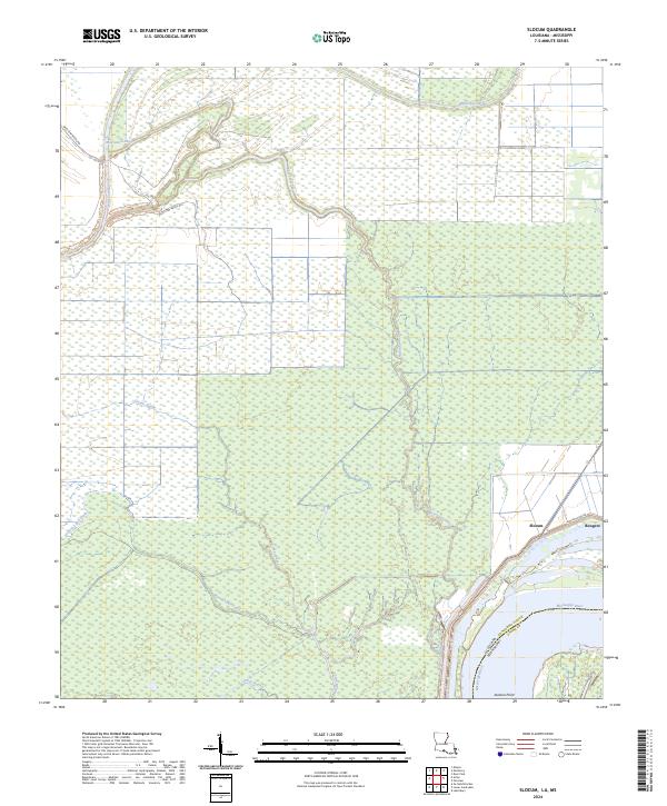 2024 Slocum2024 Print · USGSConcordia Parish sits along the active bends of the Mississippi River in this recent survey. Local historians and genealogists can trace the rural layouts of Slocum and Bougere or locate family landmarks near Bayou Cocodrie and Wild Cow Bayou.
End of results
Showing maps 1-13 of 13
Top cities near Bougere
Frequently asked questions
- What are the different types of historical maps available for Bougere?
- What is the oldest map of Bougere?
- Where can I purchase historical maps of Bougere for my home or office?
- Where can I download high-res historical maps of Bougere?
- Are there historical topographic maps available for Bougere?
- Is there historical aerial imagery available for Bougere?
- Where are historical maps of Bougere sourced from?