Old Maps of Chataignier, Louisiana for Metal Detecting
Plan your next treasure hunt with 11 historic maps of Chataignier. Find old homesites, ghost towns, trails, and gathering spots that may be lost to time — perfect for identifying promising metal detecting locations.
- Locate forgotten sites: Uncover places like long-lost settlements, abandoned rail lines, or gathering spots.
- Plan better hunts: Use map overlays combined with LiDAR or satellite views to narrow in on historically rich areas.
- Made for detectorists: Thousands of hobbyists use these maps to discover relics, coins, and hidden history.
Use these historic maps to boost your research and find new opportunities beneath the surface of Chataignier.
Chataignier, LA maps
(11)- 1947 Map of Chataignier
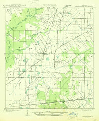 1947 Chataignier1947 Print · USGSCoastal prairie life and Bayou country are captured here in the late Forties at the edge of the Evangeline and St. Landry Parish line. Genealogists can trace early homesteads and landmarks like St. Joseph Ch and Point Blue Sch along the Texas and Pacific rail line.
 - 1952 Map of Lake Charles
 1952 Lake Charles1952 Print · USGSSouthwest Louisiana is captured here in the mid-fifties, showing a landscape defined by the rise of the petrochemical industry and deep-water navigation. Researchers can trace family roots through numerous small-town settlements and oil developments like Nibletts Bluff, the Lockport Oil Field, and Starks.
 - 1954 Map of Lake Charles, 1964 Print
 1954 Lake Charles1964 Print · USGSSouthwest Louisiana in the mid-fifties is defined by its massive petroleum industry and its complex network of bayous and rail lines. Researchers can trace the development of the Sulphur Mines Oil Field or locate historic settlements like Longville and De Quincy.3 unique versions available
 - 1960 Map of Ville Platte, 1961 Print
 1960 Ville Platte1961 Print · USGSEvangeline Parish at the start of the sixties shows a landscape of prairie rice farms, oil fields, and traditional Acadian settlements. Researchers can locate many family cemeteries and community landmarks like St Ann's Cem, Savoy Hosp, and the Mamou Oil Field.3 unique versions available
 - 1983 Map of Chataignier
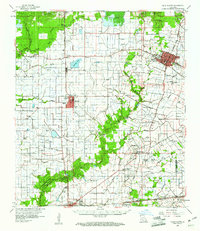
 1983 Chataignier1983 Print · USGSThe Evangeline Parish prairie comes to life in the early 1980s, centered on the rural hub of Chataignier. Genealogists and local historians can trace family-named sites like Leon Manuel Cem, the Linzay Downs Racetrack, and the Missouri Pacific rail corridor.
 - 1986 Map of Ville Platte
 1986 Ville Platte1986 Print · USGSCentral Louisiana in the 1980s reveals a complex landscape of pine forests and bayou networks spanning seven distinct parishes. Researchers can trace historic rail lines like the Atchison Topeka and Santa Fe RR and locate settlements such as Simmons Settlement, Redland, and Elizabeth.2 unique versions available
 - 2012 Map of Chataignier, 2012 Print
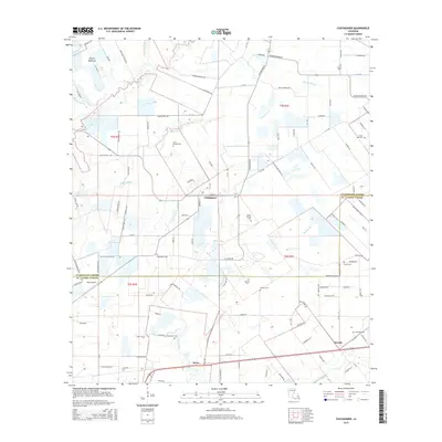
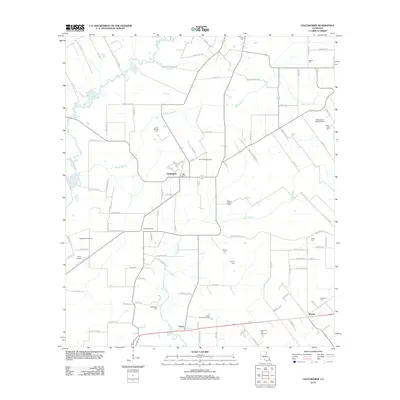 2012 Chataignier2012 Print · USGSCovers Chataignier, including Savoy, Swords, and other nearby areas
 - 2015 Map of Chataignier, 2015 Print
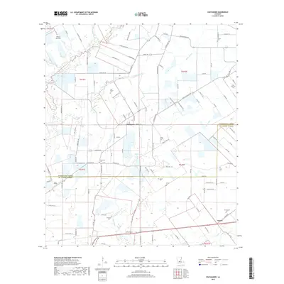
 2015 Chataignier2015 Print · USGSCovers Chataignier, including Savoy, Swords, and other nearby areas
 - 2018 Map of Chataignier, 2018 Print
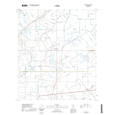
 2018 Chataignier2018 Print · USGSCovers Chataignier, including Savoy, Swords, and other nearby areas
 - 2020 Map of Chataignier, 2020 Print
 2020 Chataignier2020 Print · USGSCovers Chataignier, including Savoy, Swords, and other nearby areas
 - 2024 Map of Chataignier, 2024 Print
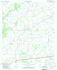
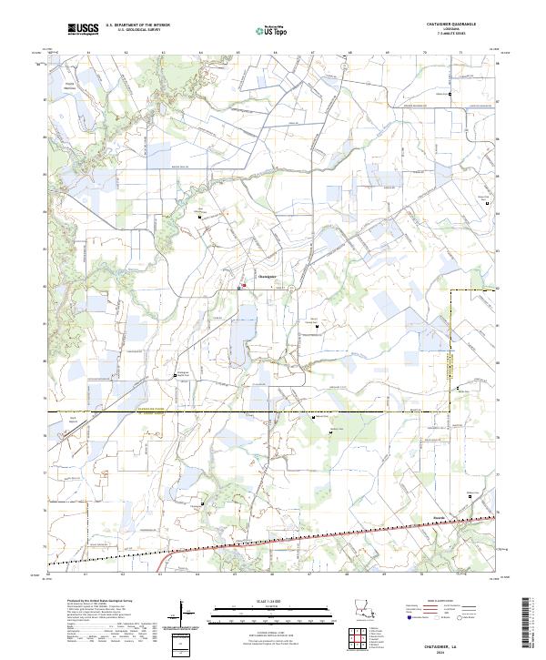 2024 Chataignier2024 Print · USGSEvangeline and St. Landry Parishes appear in high detail in this 2024 survey of the South Louisiana prairie. Local historians can trace family roots at Chataignier Cem, Belleau Cem, and Verret Cem or follow the path of Bayou Marron through the countryside.
End of results
Showing maps 1-11 of 11
Top cities near Chataignier
- Opelousas historical maps
- Eunice historical maps
- Ville Platte historical maps
- Church Point historical maps
- Mamou historical maps
- Pine Prairie historical maps
See more
Frequently asked questions
- What are the different types of historical maps available for Chataignier?
- What is the oldest map of Chataignier?
- Where can I purchase historical maps of Chataignier for my home or office?
- Where can I download high-res historical maps of Chataignier?
- Are there historical topographic maps available for Chataignier?
- Is there historical aerial imagery available for Chataignier?
- Where are historical maps of Chataignier sourced from?