Old Maps of Duralde, Louisiana for Hiking & Exploration
Hike through history with 12 historic maps of Duralde. Explore old trails, ghost towns, and forgotten backroads — perfect for outdoor adventurers and local explorers.
- Rediscover forgotten places: Map out old mining camps, roads, and footpaths that no longer exist on modern maps.
- Layer with modern tools: Combine with LiDAR or satellite views to plan hikes through historical terrain.
- Made for exploration: Popular among hikers, overlanders, and local history lovers.
Use these maps to find adventure and explore the hidden past of Duralde.
Duralde, LA maps
(12)- 1947 Map of Fruge Lake
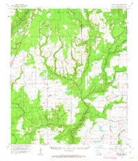
 1947 Fruge Lake1947 Print · USGSThe Louisiana bayou country during the mid-1930s reveals a transition from timber harvesting to rural settlement along the Allen and Evangeline Parish line. Genealogists and local historians can pinpoint family landmarks like Veillon Sch, Valentine Sch, and the Old Logging Railroad Grade.
 - 1952 Map of Lake Charles
 1952 Lake Charles1952 Print · USGSSouthwest Louisiana is captured here in the mid-fifties, showing a landscape defined by the rise of the petrochemical industry and deep-water navigation. Researchers can trace family roots through numerous small-town settlements and oil developments like Nibletts Bluff, the Lockport Oil Field, and Starks.
 - 1954 Map of Fruge Lake
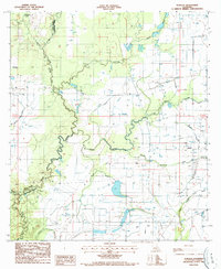
 1954 Fruge Lake1954 Print · USGSEvangeline and Allen Parishes in the mid-1930s, as captured by this survey, show a landscape tied to its bayous and early timber heritage. Genealogists and historians can locate legacy sites like Fruge Sch and Valentine Sch or trace the Old Logging Railroad Grade.
 - 1954 Map of Lake Charles, 1964 Print
 1954 Lake Charles1964 Print · USGSSouthwest Louisiana in the mid-fifties is defined by its massive petroleum industry and its complex network of bayous and rail lines. Researchers can trace the development of the Sulphur Mines Oil Field or locate historic settlements like Longville and De Quincy.3 unique versions available
 - 1961 Map of Castor Creek, 1963 Print
 1961 Castor Creek1963 Print · USGSAllen and Evangeline Parishes are shown in the early sixties as timber and rail give way to oil and gas development. Trace family heritage at St Johns Chapel or McGee Mission, and locate vanished infrastructure along the Old Railroad Grade.2 unique versions available
 - 1986 Map of Ville Platte
 1986 Ville Platte1986 Print · USGSCentral Louisiana in the 1980s reveals a complex landscape of pine forests and bayou networks spanning seven distinct parishes. Researchers can trace historic rail lines like the Atchison Topeka and Santa Fe RR and locate settlements such as Simmons Settlement, Redland, and Elizabeth.2 unique versions available
 - 1986 Map of Duralde, 1987 Print
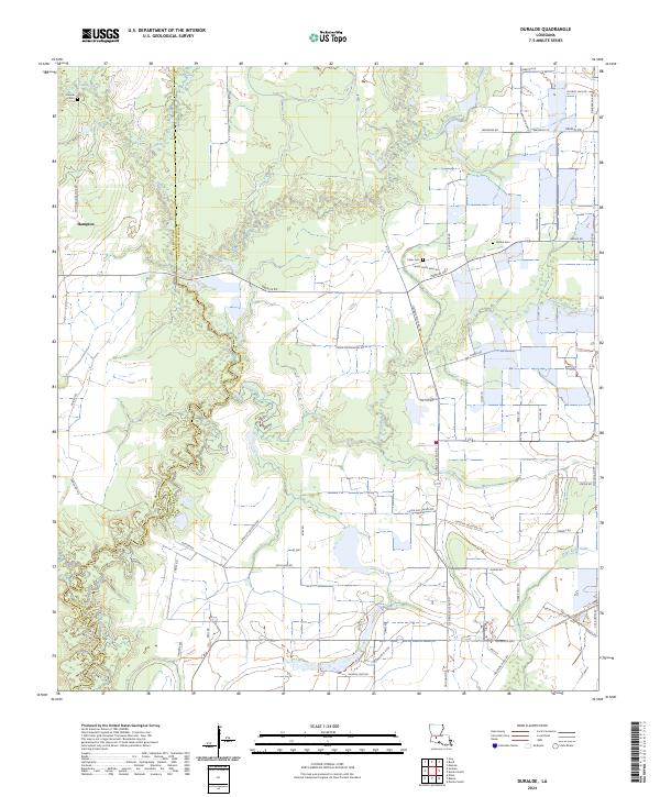
 1986 Duralde1987 Print · USGSThe prairies along the Evangeline and Allen Parish line were deeply integrated with the bayous in the mid-1980s. Researchers can trace rural settlement patterns and local water works around Duralde, Valentine, and the winding Bayou Nezpique.
 - 2012 Map of Duralde, 2012 Print
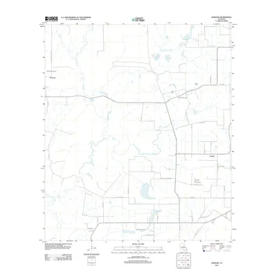 2012 Duralde2012 Print · USGSCovers Duralde, including Hampton, Evangeline Parish, and other nearby areas
 - 2015 Map of Duralde, 2015 Print
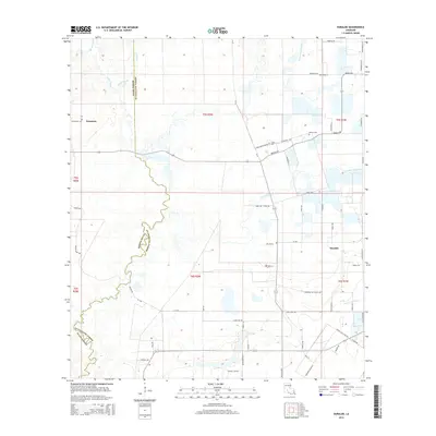 2015 Duralde2015 Print · USGSCovers Duralde, including Hampton, Evangeline Parish, and other nearby areas
 - 2018 Map of Duralde, 2018 Print
 2018 Duralde2018 Print · USGSCovers Duralde, including Hampton, Evangeline Parish, and other nearby areas
 - 2020 Map of Duralde, 2020 Print
 2020 Duralde2020 Print · USGSCovers Duralde, including Hampton, Evangeline Parish, and other nearby areas
 - 2024 Map of Duralde, 2024 Print
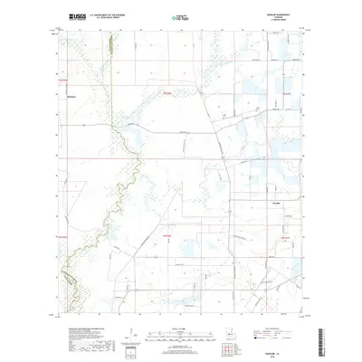
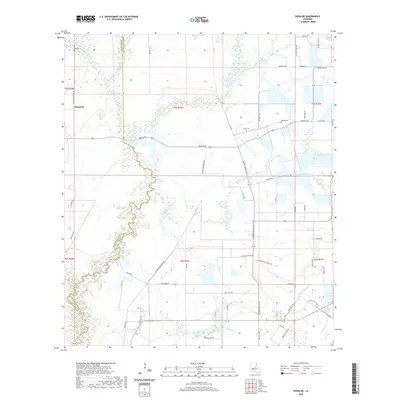
 2024 Duralde2024 Print · USGSEvangeline and Allen Parish come together in this modern survey of the Louisiana prairie. Researchers can trace rural family roots through landmarks like Manuel Cem and Veillon Cem or follow old routes like Old Basile Hwy.
End of results
Showing maps 1-12 of 12
Top cities near Duralde
- Eunice historical maps
- Ville Platte historical maps
- Mamou historical maps
- Basile historical maps
- Iota historical maps
- Elton historical maps
See more
Frequently asked questions
- What are the different types of historical maps available for Duralde?
- What is the oldest map of Duralde?
- Where can I purchase historical maps of Duralde for my home or office?
- Where can I download high-res historical maps of Duralde?
- Are there historical topographic maps available for Duralde?
- Is there historical aerial imagery available for Duralde?
- Where are historical maps of Duralde sourced from?