2000s (21st Century) Maps of Montgomery, Louisiana
Explore 11 historic maps of Montgomery from the 2000s (21st Century). These maps offer a rare glimpse into what life looked like during the 2000s — showing old roads, neighborhoods, homes, and landmarks that have changed or disappeared over time.
Whether you're researching your family's past, planning a metal detecting trip, or studying how Montgomery's landscape evolved across the 2000s, these high-resolution maps are a powerful tool for exploring the history of this region.
- Focus on a specific era: All maps on this page are from the 2000s, giving you a focused view of this time period.
- See what’s changed: Compare century-old streets, trails, and buildings to today's modern landscape using overlays and satellite layers.
- Research with precision: Use these maps for genealogy, historical research, land use analysis, or educational projects.
- View, download, or print: Maps are fully viewable online in high resolution, and can be downloaded or printed for your own records.
Start exploring Montgomery's history through authentic maps from the 2000s. This is your window into the past.
Montgomery, LA maps
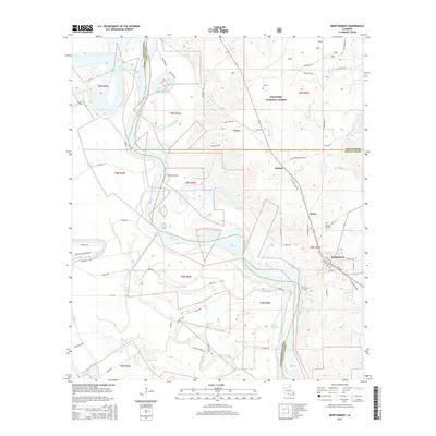
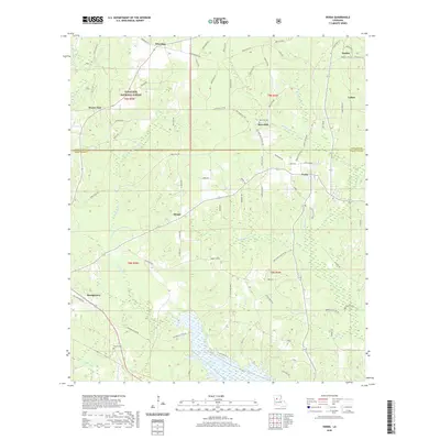
(11)- 2003 Map of Montgomery, 2005 Print
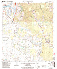 2003 Montgomery2005 Print · USGSThe Red River valley at the turn of the millennium reveals a landscape of deep bayous and pine forest near the Grant Parish line. Genealogists and local historians can trace rural landmarks like New Nazarene Ch, Turk Az Cem, and the old settlement of Crews.
 - 2012 Map of Montgomery, 2012 Print
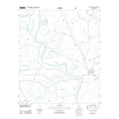 2012 Montgomery2012 Print · USGSCovers Montgomery, including Crews, Kadesh, and other nearby areas
 - 2012 Map of Verda, 2012 Print
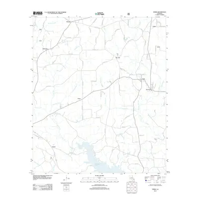 2012 Verda2012 Print · USGSCovers Montgomery, including Mars Hill, Wheeling, and other nearby areas
 - 2015 Map of Verda, 2015 Print
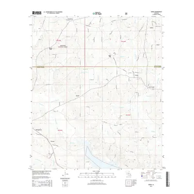 2015 Verda2015 Print · USGSCovers Montgomery, including Mars Hill, Wheeling, and other nearby areas
 - 2015 Map of Montgomery, 2015 Print
 2015 Montgomery2015 Print · USGSCovers Montgomery, including Crews, Kadesh, and other nearby areas
 - 2018 Map of Montgomery, 2018 Print
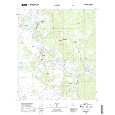 2018 Montgomery2018 Print · USGSCovers Montgomery, including Crews, Kadesh, and other nearby areas
 - 2018 Map of Verda, 2018 Print
 2018 Verda2018 Print · USGSCovers Montgomery, including Mars Hill, Wheeling, and other nearby areas
 - 2020 Map of Montgomery, 2020 Print
 2020 Montgomery2020 Print · USGSCovers Montgomery, including Crews, Kadesh, and other nearby areas
 - 2020 Map of Verda, 2020 Print
 2020 Verda2020 Print · USGSCovers Montgomery, including Mars Hill, Wheeling, and other nearby areas
 - 2024 Map of Montgomery, 2024 Print
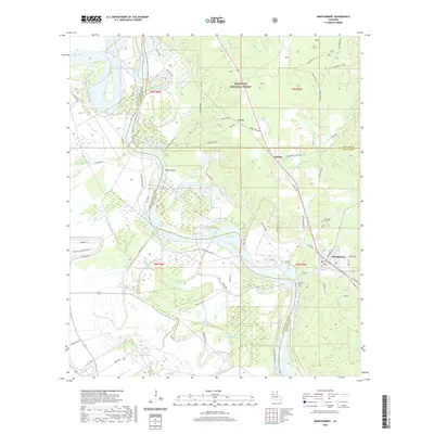
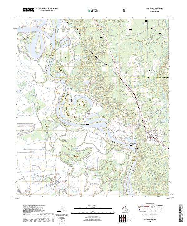 2024 Montgomery2024 Print · USGSLouisiana's river country comes into focus here in the early twenty-first century as the Red River winds between three parishes. Researchers can trace local heritage at Montgomery Ferry, Pleasant Hill Cem, and the riverfront settlement of Petite Ecore.
 - 2024 Map of Verda, 2024 Print
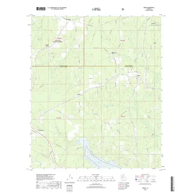
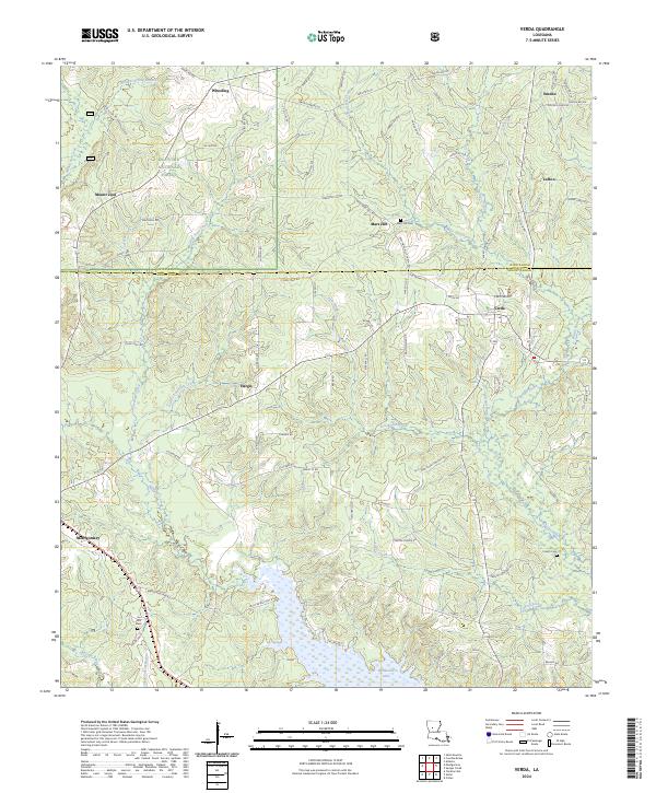 2024 Verda2024 Print · USGSGrant and Winn Parishes come into focus in this contemporary survey of central Louisiana's timberlands and bayous. Genealogists can trace family landmarks and rural communities such as Mars Hill, Verda, and the Union Grove Cemetery.
End of results
Showing maps 1-11 of 11
Top cities near Montgomery
- Natchitoches historical maps
- Colfax historical maps
- Campti historical maps
- Natchez historical maps
- Clarence historical maps
- Atlanta historical maps
Frequently asked questions
- What are the different types of historical maps available for Montgomery?
- What is the oldest map of Montgomery?
- Where can I purchase historical maps of Montgomery for my home or office?
- Where can I download high-res historical maps of Montgomery?
- Are there historical topographic maps available for Montgomery?
- Is there historical aerial imagery available for Montgomery?
- Where are historical maps of Montgomery sourced from?