Old Maps of Lone Star, Louisiana for Academic Research
Study the evolution of Lone Star with 13 high-resolution historic maps. Whether you're teaching, researching, or modeling changes in land use, these maps provide essential visual documentation of urban, environmental, and geographic change.
- Analyze long-term change: Track patterns in development, transportation, and natural features.
- Ideal for environmental or urban studies: Support academic projects with primary historical map data.
- Use in the classroom or lab: Educators and researchers rely on these maps to bring historical context to life.
These maps are a powerful tool for teaching, research, and visualizing how Lone Star has changed over the decades.
Lone Star, LA maps
(13)- 1936 Map of White Castle, 1937 Print
 1936 White Castle1937 Print · USGSThe Mississippi River corridor and its sprawling plantation estates are captured here in the mid-1930s. Researchers can trace family roots at Pierre Part Settlement or locate landmarks like the Leper Colony and St Marys Ch & Cem.2 unique versions available
 - 1954 Map of Baton Rouge, 1974 Print
 1954 Baton Rouge1974 Print · USGSSoutheast Louisiana in the mid-fifties is captured here during a period of transition for its river and rail economies. Researchers can trace the path of the Mississippi River and find landmarks like the Bonnet Carre Spillway and Bayou Plaquemine.2 unique versions available
 - 1956 Map of Baton Rouge
 1956 Baton Rouge1956 Print · USGSSouth Louisiana at the height of the mid-century oil boom shows a landscape of river oxbows and rising industry. Researchers can trace family roots through river towns like Scotlandville or locate early industrial sites and Oil wells near Lake Maurepas.
 - 1961 Map of Baton Rouge, 1966 Print
 1961 Baton Rouge1966 Print · USGSSoutheastern Louisiana in the early sixties remains a landscape of deep river bends and sprawling coastal lakes. Genealogists and historians can trace the rail-and-river economy through landmarks like Free-Nigger Point, Donaldsonville, and the Illinois Central Railroad.
 - 1962 Map of Baton Rouge
 1962 Baton Rouge1962 Print · USGSSouth Louisiana in the early sixties reveals a landscape of river-bend parishes and emerging interstate corridors. Genealogists and historians can trace family roots through historic river towns like Donaldsonville and Plaquemine, or follow the path of the Illinois Central Railroad through the swamp basins.
 - 1963 Map of White Castle, 1966 Print
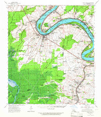 1963 White Castle1966 Print · USGSThe riverfront and sugar lands of Iberville and Ascension Parishes are captured here in the early 1960s. Researchers can trace family sites from White Castle to Bellerose, including numerous river landings like Hard Times Ldg and the National Leprosarium.3 unique versions available
 - 1974 Map of Lone Star, 1975 Print
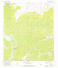 1974 Lone Star1975 Print · USGSThe Atchafalaya Basin swamplands are captured here in the mid-1970s, showing a landscape where heavy industry and delta hydrology meet. Researchers can trace the layout of the Napoleonville Oil and Gas Field and old settlements like Pierre Part and Lone Star.3 unique versions available
 - 1984 Map of Baton Rouge
 1984 Baton Rouge1984 Print · USGSBaton Rouge and the surrounding river country are captured in the mid-eighties as the industrial corridor met the deep wetlands of the basin. Researchers can trace the winding Bayou Teche, locate family roots in St Martinville, or study the massive Atchafalaya Basin Floodway.2 unique versions available
 - 2012 Map of Lone Star, 2012 Print
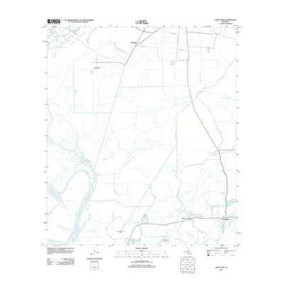 2012 Lone Star2012 Print · USGSCoastal Iberville Parish in the early 2010s is a landscape of energy production and deep-rooted bayou settlements. Genealogists and researchers can trace local family lands along Trabeaux Ln or explore the marshy reaches of Lake Natchez and the Natchez Bay Gas Field.
 - 2015 Map of Lone Star, 2015 Print
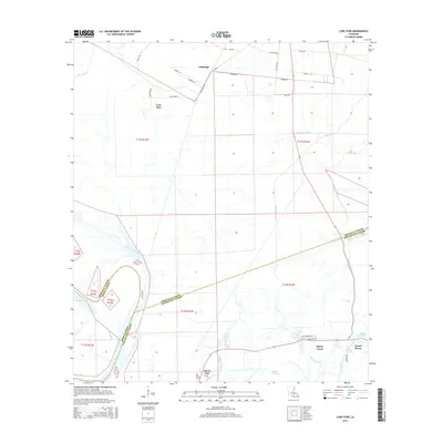 2015 Lone Star2015 Print · USGSIberville and Assumption Parishes are shown in the mid-2010s, capturing a water-bound landscape of bayous and low-lying settlements. Researchers can trace the layout of Lone Star and Goldridge or locate landmarks like Lake Natchez Pass and Bayou Corne.
 - 2018 Map of Lone Star, 2018 Print
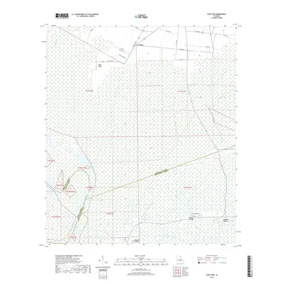 2018 Lone Star2018 Print · USGSThe Atchafalaya Basin wetlands are shown in detail as they appeared in 2018, where the parish lines of Iberville and Assumption converge. Genealogists and historians can trace the waterways and roads connecting Lone Star, Goldridge, and the settlement of Pierre Part.
 - 2020 Map of Lone Star, 2020 Print
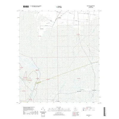 2020 Lone Star2020 Print · USGSThe swampy interface of Iberville and Assumption Parishes is captured here in the early twenty-first century. Genealogists and historians can trace local infrastructure through family-named roads and remote settlements like Lone Star, Goldridge, and the winding Bayou Pierre Part.
 - 2024 Map of Lone Star, 2024 Print
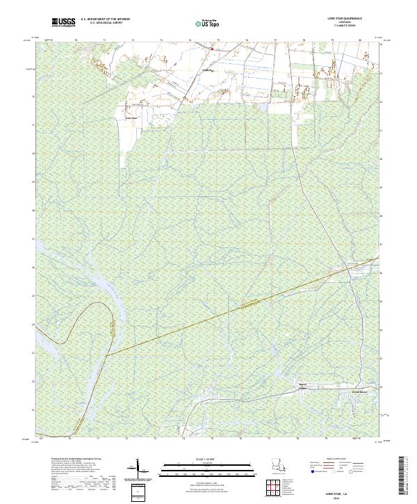 2024 Lone Star2024 Print · USGSThe marshy parish borders of Iberville and Assumption come alive in this recent survey of the Louisiana wetlands. Genealogists and researchers can trace the reach of the bayou at Lone Star and Goldridge or follow the waters of Bay Natchez.
End of results
Showing maps 1-13 of 13
Top cities near Lone Star
- St. George historical maps
- Donaldsonville historical maps
- Plaquemine historical maps
- White Castle historical maps
- Napoleonville historical maps
Frequently asked questions
- What are the different types of historical maps available for Lone Star?
- What is the oldest map of Lone Star?
- Where can I purchase historical maps of Lone Star for my home or office?
- Where can I download high-res historical maps of Lone Star?
- Are there historical topographic maps available for Lone Star?
- Is there historical aerial imagery available for Lone Star?
- Where are historical maps of Lone Star sourced from?