2000s (21st Century) Maps of Plaquemine, Louisiana
Explore 10 historic maps of Plaquemine from the 2000s (21st Century). These maps offer a rare glimpse into what life looked like during the 2000s — showing old roads, neighborhoods, homes, and landmarks that have changed or disappeared over time.
Whether you're researching your family's past, planning a metal detecting trip, or studying how Plaquemine's landscape evolved across the 2000s, these high-resolution maps are a powerful tool for exploring the history of this region.
- Focus on a specific era: All maps on this page are from the 2000s, giving you a focused view of this time period.
- See what’s changed: Compare century-old streets, trails, and buildings to today's modern landscape using overlays and satellite layers.
- Research with precision: Use these maps for genealogy, historical research, land use analysis, or educational projects.
- View, download, or print: Maps are fully viewable online in high resolution, and can be downloaded or printed for your own records.
Start exploring Plaquemine's history through authentic maps from the 2000s. This is your window into the past.
Plaquemine, LA maps
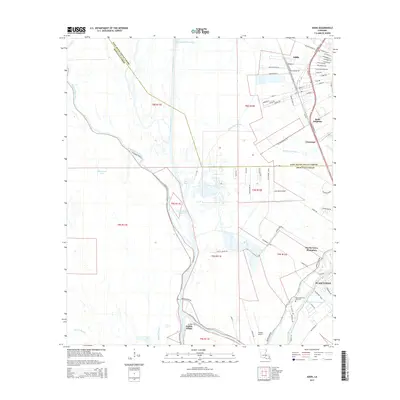
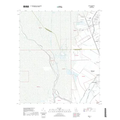
(10)- 2012 Map of Addis, 2012 Print
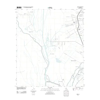 2012 Addis2012 Print · USGSCovers Plaquemine, including Addis, Chenango, and other nearby areas
 - 2012 Map of Plaquemine, 2012 Print
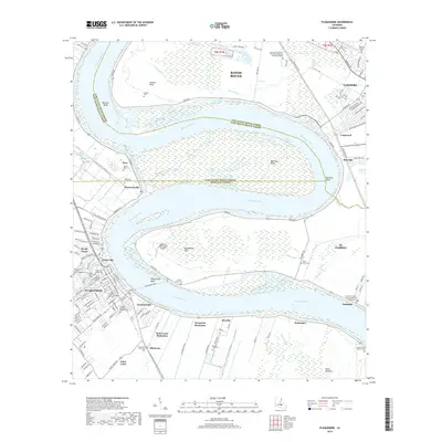
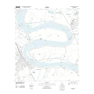 2012 Plaquemine2012 Print · USGSCovers Plaquemine, including Baton Rouge, St. George, and other nearby areas
 - 2015 Map of Plaquemine, 2015 Print
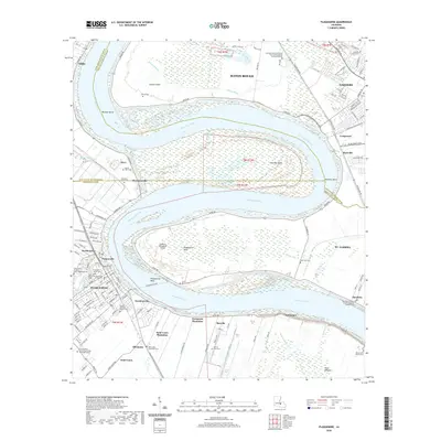
 2015 Plaquemine2015 Print · USGSCovers Plaquemine, including Baton Rouge, St. George, and other nearby areas
 - 2015 Map of Addis, 2015 Print
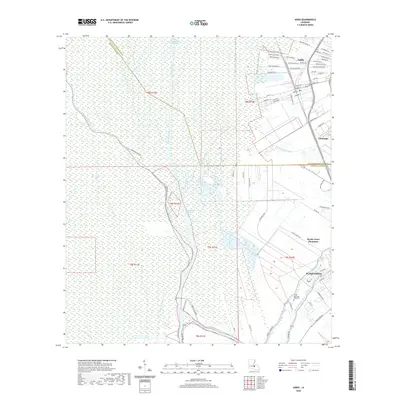
 2015 Addis2015 Print · USGSCovers Plaquemine, including Addis, Chenango, and other nearby areas
 - 2018 Map of Addis, 2018 Print
 2018 Addis2018 Print · USGSCovers Plaquemine, including Addis, Chenango, and other nearby areas
 - 2018 Map of Plaquemine, 2018 Print
 2018 Plaquemine2018 Print · USGSCovers Plaquemine, including Baton Rouge, St. George, and other nearby areas
 - 2020 Map of Plaquemine, 2020 Print
 2020 Plaquemine2020 Print · USGSCovers Plaquemine, including Baton Rouge, St. George, and other nearby areas
 - 2020 Map of Addis, 2020 Print
 2020 Addis2020 Print · USGSCovers Plaquemine, including Addis, Chenango, and other nearby areas
 - 2024 Map of Addis, 2024 Print
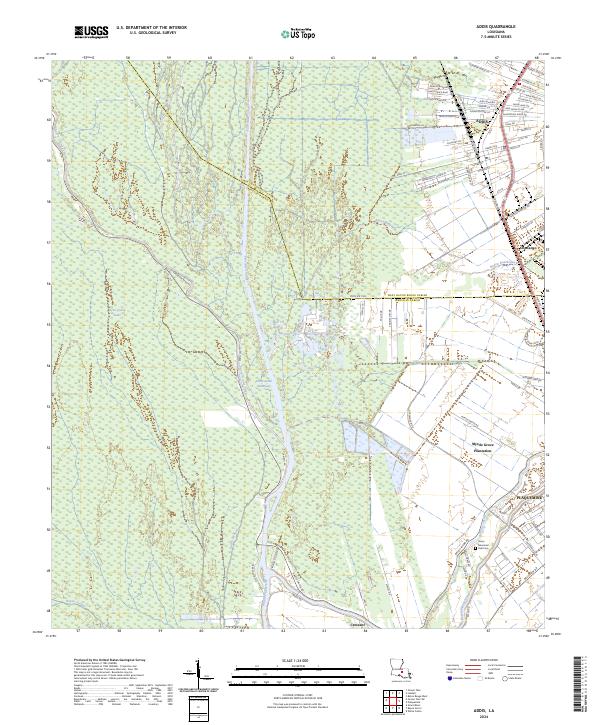 2024 Addis2024 Print · USGSThe area surrounding Addis and Plaquemine is shown here during a period of modern growth and maritime commerce. Trace family roots and land patterns near Myrtle Grove Plantation or the Grace Memorial Park Cem.
 - 2024 Map of Plaquemine, 2024 Print
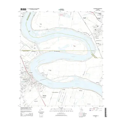
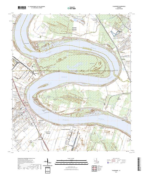 2024 Plaquemine2024 Print · USGSThe Mississippi River corridor south of Baton Rouge comes into focus through its historic river road communities and plantation lands. Trace the geography of Evergreen Plantation, visit the Iberville Parish Courthouse, or locate family sites at Saint Louis Plantation Cem.
End of results
Showing maps 1-10 of 10
Top cities near Plaquemine
- Baton Rouge historical maps
- Saint George historical maps
- St. George historical maps
- Central historical maps
- Port Allen historical maps
- Addis historical maps
See more
Top neighborhoods of Plaquemine
Frequently asked questions
- What are the different types of historical maps available for Plaquemine?
- What is the oldest map of Plaquemine?
- Where can I purchase historical maps of Plaquemine for my home or office?
- Where can I download high-res historical maps of Plaquemine?
- Are there historical topographic maps available for Plaquemine?
- Is there historical aerial imagery available for Plaquemine?
- Where are historical maps of Plaquemine sourced from?