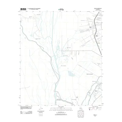
2012 Map of Addis
USGS Topo · Published 2012About this map
The town of Addis serves as a primary hub of development in this Iberville Parish landscape, where residential street grids such as Myrle St and Foret St contrast with the surrounding industrial and agricultural terrain. Significant land tracts are dedicated to energy extraction, including the West Addis Oil Field and the Northwest Bayou Choctaw Oilfield, reflecting the region's long-standing reliance on the petrochemical industry.
Find a feature on this map
66 named features on this map. Tap any name to fly to it.
Don’t see what you’re looking for? This feature index may not catch every label — zoom into the map to look around manually.
Map Details
Editions of this 2012 Addis Map
This is the sole edition of this map. No revisions or reprints were ever made.
Other maps of this area

1908 · Baton Rouge
USGS Topo · 1:62,500

1935 · Chicot Lake
USGS Topo · 1:62,500

1936 · White Castle
USGS Topo · 1:62,500

1939 · Baton Rouge
USGS Topo · 1:62,500

1940 · Grosse Tete
USGS Topo · 1:62,500

1953 · Baton Rouge West
USGS Topo · 1:24,000

1953 · Crescent
USGS Topo · 1:24,000

1953 · Plaquemine
USGS Topo · 1:24,000

1953 · Lobdell
USGS Topo · 1:24,000

1953 · Pigeon Bay
USGS Topo · 1:24,000