2020s Maps of Jefferson Davis Parish, Louisiana
Explore 38 historic maps of Jefferson Davis Parish from the 2020s. These maps offer a rare glimpse into what life looked like during the 2020s — showing old roads, neighborhoods, homes, and landmarks that have changed or disappeared over time.
Whether you're researching your family's past, planning a metal detecting trip, or studying how Jefferson Davis Parish's landscape evolved across the 2020s, these high-resolution maps are a powerful tool for exploring the history of this region.
- Focus on a specific era: All maps on this page are from the 2020s, giving you a focused view of this time period.
- See what’s changed: Compare century-old streets, trails, and buildings to today's modern landscape using overlays and satellite layers.
- Research with precision: Use these maps for genealogy, historical research, land use analysis, or educational projects.
- View, download, or print: Maps are fully viewable online in high resolution, and can be downloaded or printed for your own records.
Start exploring Jefferson Davis Parish's history through authentic maps from the 2020s. This is your window into the past.
Jefferson Davis Parish, LA maps
(38)- 2020 Map of Indian Village, 2020 Print
 2020 Indian Village2020 Print · USGSCovers Jefferson Davis Parish, including Fontenot, Gravel Point, and other nearby areas
 - 2020 Map of Lake Arthur, 2020 Print
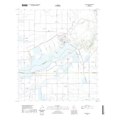 2020 Lake Arthur2020 Print · USGSCovers Jefferson Davis Parish, including Lake Arthur, Laurents Point, and other nearby areas
 - 2020 Map of Hayes, 2020 Print
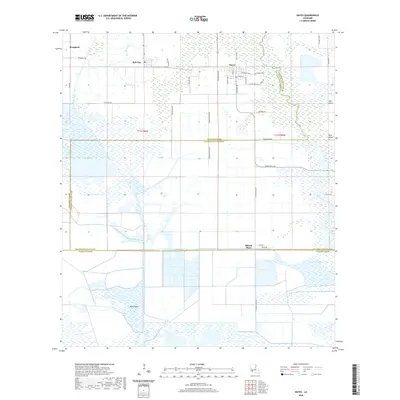 2020 Hayes2020 Print · USGSCovers Jefferson Davis Parish, including Hayes, Rossignol, and other nearby areas
 - 2020 Map of Elton, 2020 Print
 2020 Elton2020 Print · USGSCovers Jefferson Davis Parish, including Elton, Barnsdall, and other nearby areas
 - 2020 Map of Jennings, 2020 Print
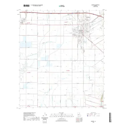 2020 Jennings2020 Print · USGSCovers Jefferson Davis Parish, including Jennings, Roanoke, and other nearby areas
 - 2020 Map of Gaytine, 2020 Print
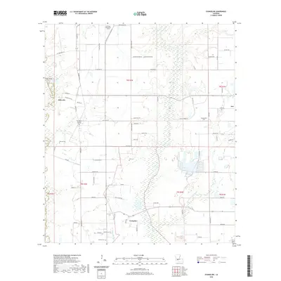
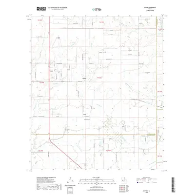 2020 Gaytine2020 Print · USGSCovers Jefferson Davis Parish, including Turps, Gaytine, and other nearby areas
 - 2020 Map of Basile, 2020 Print
 2020 Basile2020 Print · USGSCovers Jefferson Davis Parish, including Basile, Tyrone, and other nearby areas
 - 2020 Map of Fenton, 2020 Print
 2020 Fenton2020 Print · USGSCovers Jefferson Davis Parish, including Iowa, Fenton, and other nearby areas
 - 2020 Map of Hathaway, 2020 Print
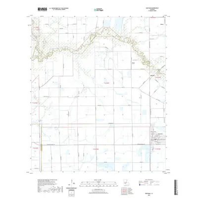
 2020 Hathaway2020 Print · USGSCovers Jefferson Davis Parish, including Jennings, Raymond, and other nearby areas
 - 2020 Map of Mermentau, 2020 Print
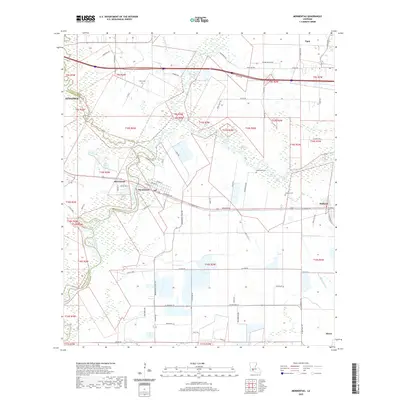 2020 Mermentau2020 Print · USGSCovers Jefferson Davis Parish, including Jennings, Mermentau, and other nearby areas
 - 2020 Map of Gueydan, 2020 Print
 2020 Gueydan2020 Print · USGSCovers Jefferson Davis Parish, including Gueydan, Morse, and other nearby areas
 - 2020 Map of Hecker, 2020 Print
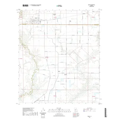
 2020 Hecker2020 Print · USGSCovers Jefferson Davis Parish, including Iowa, Le Bleu, and other nearby areas
 - 2020 Map of Welsh South, 2020 Print
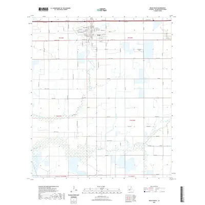 2020 Welsh South2020 Print · USGSCovers Jefferson Davis Parish, including Welsh, United States, and other nearby areas
 - 2020 Map of Evangeline, 2020 Print
 2020 Evangeline2020 Print · USGSCovers Jefferson Davis Parish, including Iota, Nezpique, and other nearby areas
 - 2020 Map of Kinder, 2020 Print
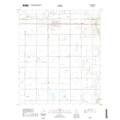
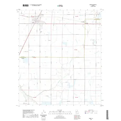 2020 Kinder2020 Print · USGSCovers Jefferson Davis Parish, including Kinder, Lauderdale, and other nearby areas
 - 2020 Map of Lacassine, 2020 Print
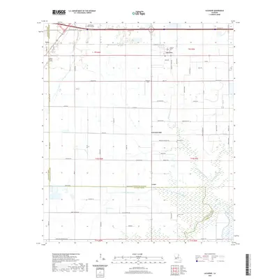 2020 Lacassine2020 Print · USGSCovers Jefferson Davis Parish, including Iowa, Verret, and other nearby areas
 - 2020 Map of Welsh North, 2020 Print
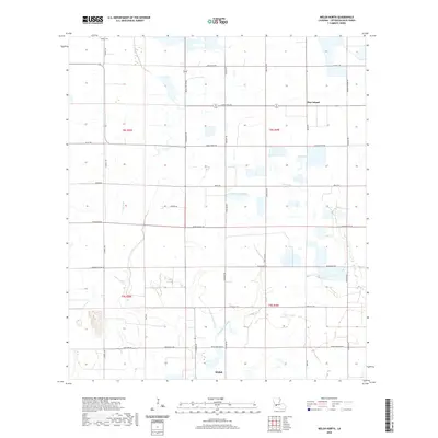 2020 Welsh North2020 Print · USGSCovers Jefferson Davis Parish, including Welsh, Pine Island, and other nearby areas
 - 2020 Map of Topsy, 2020 Print
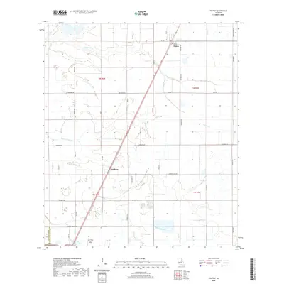
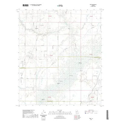 2020 Topsy2020 Print · USGSCovers Jefferson Davis Parish, including Topsy, Buller, and other nearby areas
 - 2020 Map of Thornwell, 2020 Print
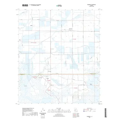 2020 Thornwell2020 Print · USGSCovers Jefferson Davis Parish, including Lowry, Thornwell, and other nearby areas
 - 2024 Map of Hecker, 2024 Print
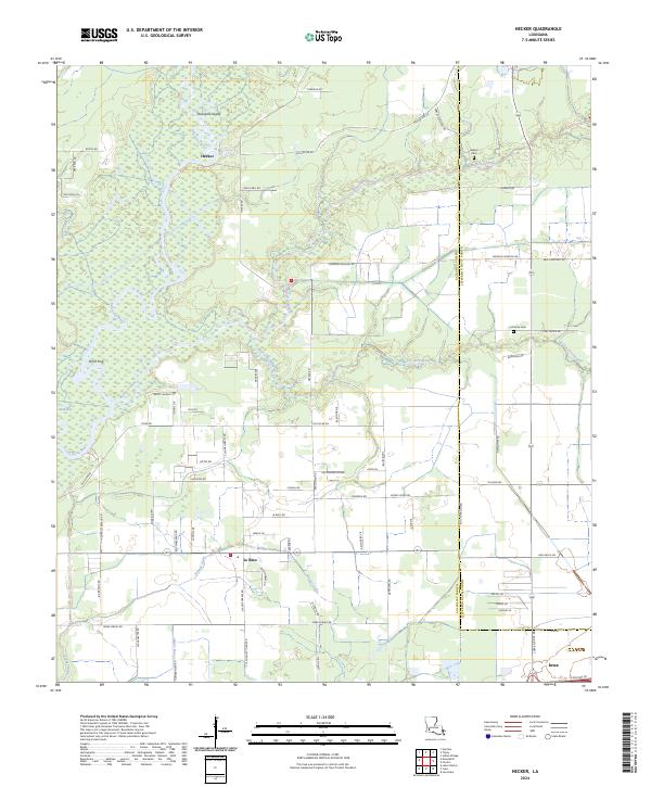 2024 Hecker2024 Print · USGSCalcasieu Parish in the 2020s remains a landscape defined by the winding Calcasieu River and its rural homesteads. Genealogists and local historians can trace family locations through landmarks like Herbert Cem, La France Cem, and the small settlement of Hecker.
 - 2024 Map of Welsh North, 2024 Print
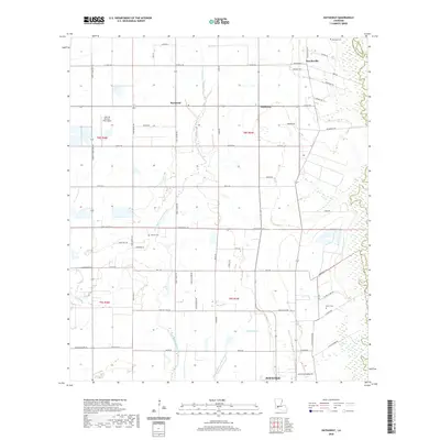
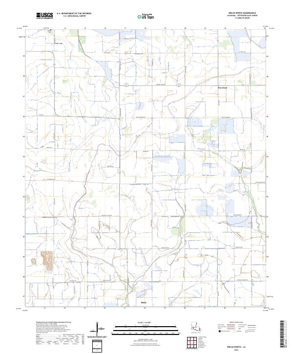 2024 Welsh North2024 Print · USGSJefferson Davis Parish comes into sharp focus in this recent survey of the Louisiana wetlands. Genealogists and local historians can locate the historic LeBleu Cem, trace the waters of East Bayou Lacassine, and explore the rural settlement at Pine Island.
 - 2024 Map of Jennings, 2024 Print
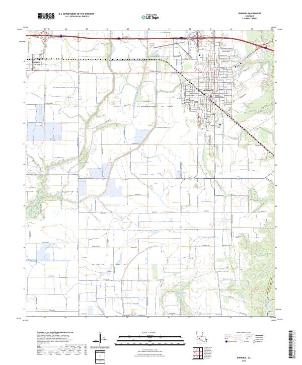 2024 Jennings2024 Print · USGSCoastal prairie life in Jefferson Davis Parish is captured here during the 2020s, centered on the growing community of Jennings. Researchers can trace local heritage at Greenwood Cem or explore the waterways of the Mermentau River and Bayou Chene.
 - 2024 Map of Fenton, 2024 Print
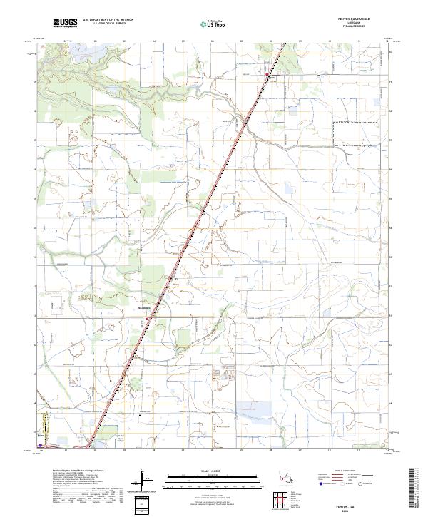 2024 Fenton2024 Print · USGSSouthwest Louisiana agricultural lands are documented here in the early twenty-first century as the rural landscape balances traditional farming and modern infrastructure. Locate Pine Hill Cemetery and trace the paths of Bayou Serpent and Bayou Arceneaux.
 - 2024 Map of Hathaway, 2024 Print
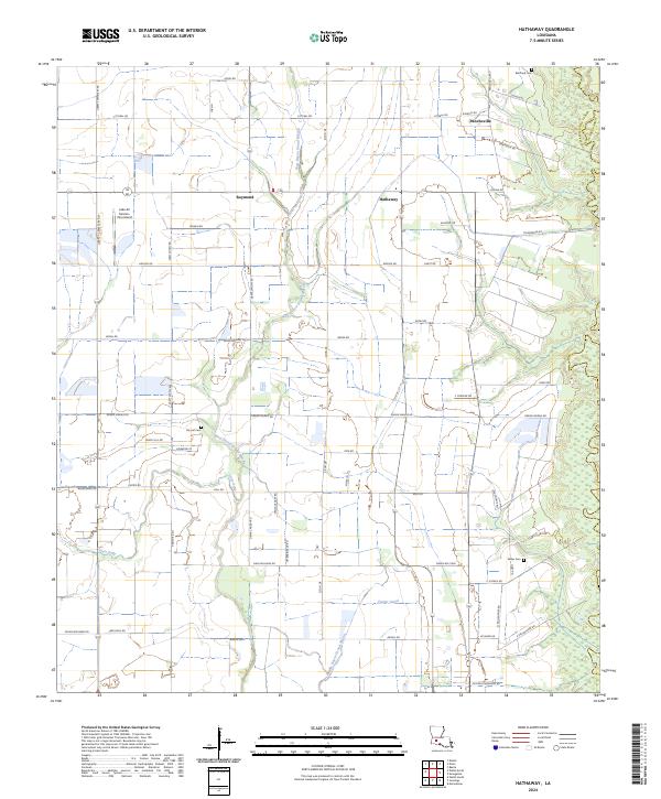 2024 Hathaway2024 Print · USGSJefferson Davis Parish is shown here in the mid-2020s, highlighting a landscape defined by traditional bayous and rural road networks. Researchers can locate family landmarks such as Bertrand Cem and Doucet Cem, or trace drainage history through the Tiptop Canal.
 - 2024 Map of Gaytine, 2024 Print
 2024 Gaytine2024 Print · USGSThe tri-parish border region of southwest Louisiana comes into focus through this contemporary survey of its wooded bayous and rural settlements. Researchers can trace the family names of early residents through Reeves Garden Cem and the roads surrounding Gaytine and Gillis.
Showing maps 1-25 of 38
Top cities of Jefferson Davis Parish
- Jennings historical maps
- Welsh historical maps
- Lake Arthur historical maps
- Elton historical maps
- Roanoke historical maps
- Fenton historical maps
Frequently asked questions
- What are the different types of historical maps available for Jefferson Davis Parish?
- What is the oldest map of Jefferson Davis Parish?
- Where can I purchase historical maps of Jefferson Davis Parish for my home or office?
- Where can I download high-res historical maps of Jefferson Davis Parish?
- Are there historical topographic maps available for Jefferson Davis Parish?
- Is there historical aerial imagery available for Jefferson Davis Parish?
- Where are historical maps of Jefferson Davis Parish sourced from?