Old Maps of Panchoville, Louisiana for Genealogy
Trace your family roots with 12 historic maps of Panchoville. These high-res maps reveal old neighborhoods, homesites, landmarks, and streets — helping you uncover where your ancestors lived and how the area evolved over time.
- Explore historic neighborhoods: Identify where your relatives may have lived in the 1800s or 1900s.
- Compare maps over time: Trace the changes in streets, buildings, and landmarks for multi-generational research.
- Perfect for genealogy & ancestry research: Used by family historians and researchers to map out lineage and migration.
These maps are an incredible resource for exploring your personal connection to Panchoville's past.
Panchoville, LA maps
(12)- 1947 Map of Hathaway
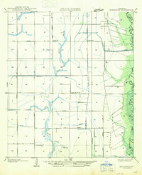 1947 Hathaway1947 Print · USGSJefferson Davis Parish in the late 1940s reveals a specialized landscape of rice farming and rural crossroads. Genealogists and researchers can trace old school sites like Grand Marais Sch and the community layouts of Hathaway and Raymond.
 - 1952 Map of Lake Charles
 1952 Lake Charles1952 Print · USGSSouthwest Louisiana is captured here in the mid-fifties, showing a landscape defined by the rise of the petrochemical industry and deep-water navigation. Researchers can trace family roots through numerous small-town settlements and oil developments like Nibletts Bluff, the Lockport Oil Field, and Starks.
 - 1954 Map of Lake Charles, 1964 Print
 1954 Lake Charles1964 Print · USGSSouthwest Louisiana in the mid-fifties is defined by its massive petroleum industry and its complex network of bayous and rail lines. Researchers can trace the development of the Sulphur Mines Oil Field or locate historic settlements like Longville and De Quincy.3 unique versions available
 - 1960 Map of Basile, 1961 Print
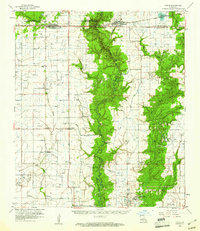 1960 Basile1961 Print · USGSCoastal prairie life and petroleum exploration dominate this 1960s study of the area where Evangeline, Acadia, and Jefferson Davis parishes meet. Genealogists and historians can trace family roots through landmarks like St Ann Ch, China Cem, and the rural settlement of Panchoville.4 unique versions available
 - 1985 Map of Hathaway
 1985 Hathaway1985 Print · USGSJefferson Davis Parish in the mid-1980s shows a landscape transformed by intensive irrigation and rural industry. Genealogists and researchers can trace local landmarks like Hathaway and Panchoville, alongside the Tiptop Canal and family cemeteries.
 - 1985 Map of Crowley, 1986 Print
 1985 Crowley1986 Print · USGSCoastal prairie and bayou country are captured in the mid-eighties as the rice-and-rail economy defined South Louisiana life. Genealogists and researchers can trace family lands and rural hubs from Crowley to Jennings, following the paths of the Southern Pacific Railroad and the winding Mermentau River.2 unique versions available
 - 1994 Map of Hathaway, 1996 Print
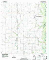 1994 Hathaway1996 Print · USGSJefferson Davis Parish in the mid-1990s reveals a landscape of prairie drainage and rural settlements shaped by the bayous. Researchers can trace local landmarks like Hathaway and Panchoville or locate quiet sites such as the Cem near West Bayou Grand Marais.
 - 2012 Map of Hathaway, 2012 Print
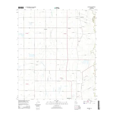
 2012 Hathaway2012 Print · USGSCovers Panchoville, including Jennings, Raymond, and other nearby areas
 - 2015 Map of Hathaway, 2015 Print
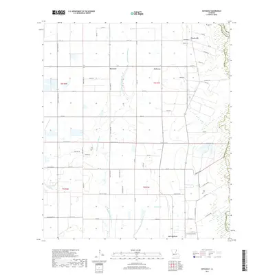
 2015 Hathaway2015 Print · USGSCovers Panchoville, including Jennings, Raymond, and other nearby areas
 - 2018 Map of Hathaway, 2018 Print
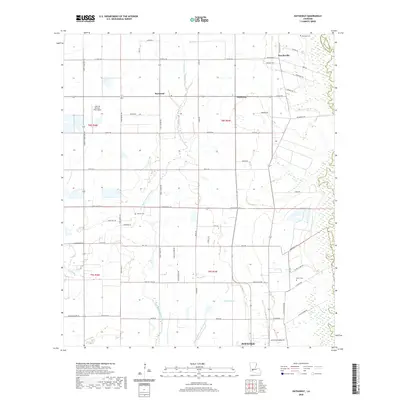
 2018 Hathaway2018 Print · USGSCovers Panchoville, including Jennings, Raymond, and other nearby areas
 - 2020 Map of Hathaway, 2020 Print
 2020 Hathaway2020 Print · USGSCovers Panchoville, including Jennings, Raymond, and other nearby areas
 - 2024 Map of Hathaway, 2024 Print
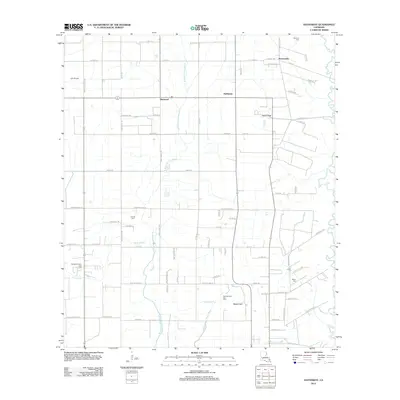
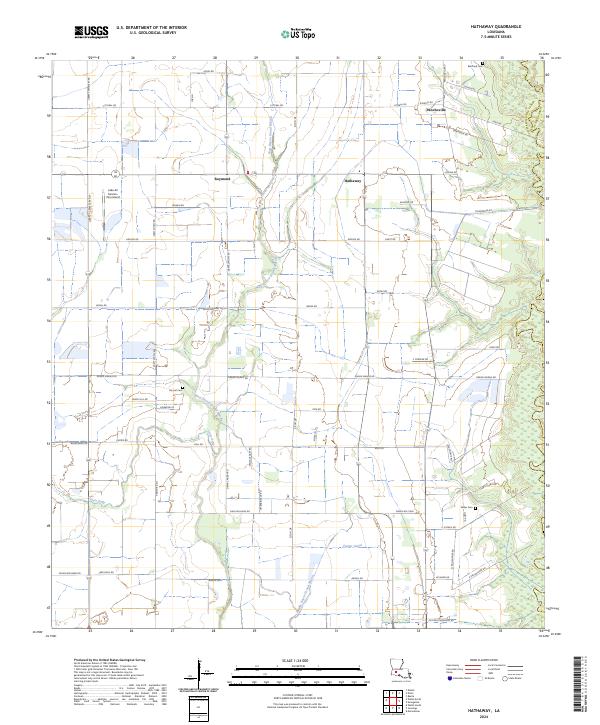 2024 Hathaway2024 Print · USGSJefferson Davis Parish is shown here in the mid-2020s, highlighting a landscape defined by traditional bayous and rural road networks. Researchers can locate family landmarks such as Bertrand Cem and Doucet Cem, or trace drainage history through the Tiptop Canal.
End of results
Showing maps 1-12 of 12
Top cities near Panchoville
- Jennings historical maps
- Eunice historical maps
- Welsh historical maps
- Kinder historical maps
- Oberlin historical maps
- Basile historical maps
See more
Frequently asked questions
- What are the different types of historical maps available for Panchoville?
- What is the oldest map of Panchoville?
- Where can I purchase historical maps of Panchoville for my home or office?
- Where can I download high-res historical maps of Panchoville?
- Are there historical topographic maps available for Panchoville?
- Is there historical aerial imagery available for Panchoville?
- Where are historical maps of Panchoville sourced from?