Old Maps of Woodlawn, Louisiana for Academic Research
Study the evolution of Woodlawn with 8 high-resolution historic maps. Whether you're teaching, researching, or modeling changes in land use, these maps provide essential visual documentation of urban, environmental, and geographic change.
- Analyze long-term change: Track patterns in development, transportation, and natural features.
- Ideal for environmental or urban studies: Support academic projects with primary historical map data.
- Use in the classroom or lab: Educators and researchers rely on these maps to bring historical context to life.
These maps are a powerful tool for teaching, research, and visualizing how Woodlawn has changed over the decades.
Woodlawn, LA maps
(8)- 1947 Map of Fenton
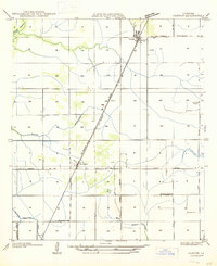 1947 Fenton1947 Print · USGSMid-century Jefferson Davis Parish comes alive along the Missouri Pacific rail line and U.S. Highway 165 during this post-war period. Genealogists and local historians can trace the foundations of Fenton, find the Rose Hill School, and locate the Woodlawn Cem near the parish line.
 - 1950 Map of Fenton
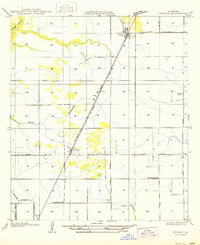 1950 Fenton1950 Print · USGSJefferson Davis Parish in the mid-twentieth century is shown here as a landscape of rail-side settlements and winding bayous. Genealogists can trace family footprints through rural sites like Rose Hill School, Woodlawn, and the Woodlawn Cem.
 - 1952 Map of Lake Charles
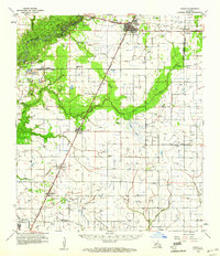
 1952 Lake Charles1952 Print · USGSSouthwest Louisiana is captured here in the mid-fifties, showing a landscape defined by the rise of the petrochemical industry and deep-water navigation. Researchers can trace family roots through numerous small-town settlements and oil developments like Nibletts Bluff, the Lockport Oil Field, and Starks.
 - 1954 Map of Lake Charles, 1964 Print
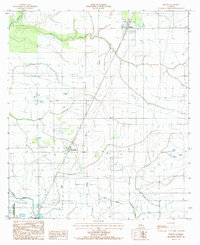
 1954 Lake Charles1964 Print · USGSSouthwest Louisiana in the mid-fifties is defined by its massive petroleum industry and its complex network of bayous and rail lines. Researchers can trace the development of the Sulphur Mines Oil Field or locate historic settlements like Longville and De Quincy.3 unique versions available
 - 1959 Map of Kinder, 1960 Print
 1959 Kinder1960 Print · USGSSouthwest Louisiana is captured here in the late fifties as timber, rail, and oil industries converged across the parish lines. Genealogists and historians can trace the foundations of Kinder and Welsh or locate rural sites like Sacred Heart Ch and McGee Cem.4 unique versions available
 - 1985 Map of Fenton
 1985 Fenton1985 Print · USGSJefferson Davis Parish in the mid-eighties shows a landscape defined by its bayous and agricultural infrastructure. Trace the early layout of Fenton and Woodlawn or locate rural features like the Cem and various Radio Towers among the irrigation flumes.
 - 1985 Map of Crowley, 1986 Print
 1985 Crowley1986 Print · USGSCoastal prairie and bayou country are captured in the mid-eighties as the rice-and-rail economy defined South Louisiana life. Genealogists and researchers can trace family lands and rural hubs from Crowley to Jennings, following the paths of the Southern Pacific Railroad and the winding Mermentau River.2 unique versions available
 - 2024 Map of Fenton, 2024 Print
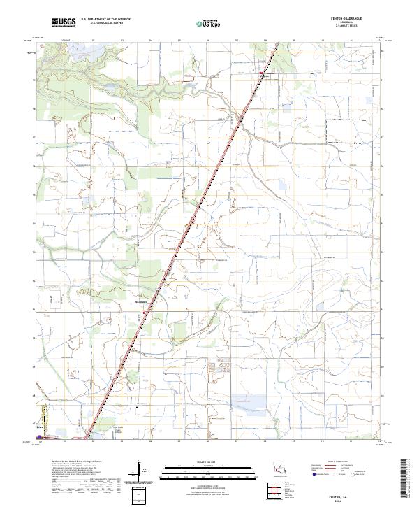 2024 Fenton2024 Print · USGSSouthwest Louisiana agricultural lands are documented here in the early twenty-first century as the rural landscape balances traditional farming and modern infrastructure. Locate Pine Hill Cemetery and trace the paths of Bayou Serpent and Bayou Arceneaux.
End of results
Showing maps 1-8 of 8
Top cities near Woodlawn
- Lake Charles historical maps
- Welsh historical maps
- Iowa historical maps
- Kinder historical maps
- Hayes historical maps
- Roanoke historical maps
See more
Frequently asked questions
- What are the different types of historical maps available for Woodlawn?
- What is the oldest map of Woodlawn?
- Where can I purchase historical maps of Woodlawn for my home or office?
- Where can I download high-res historical maps of Woodlawn?
- Are there historical topographic maps available for Woodlawn?
- Is there historical aerial imagery available for Woodlawn?
- Where are historical maps of Woodlawn sourced from?