Old Maps of Lafitte, Louisiana for Academic Research
Study the evolution of Lafitte with 21 high-resolution historic maps. Whether you're teaching, researching, or modeling changes in land use, these maps provide essential visual documentation of urban, environmental, and geographic change.
- Analyze long-term change: Track patterns in development, transportation, and natural features.
- Ideal for environmental or urban studies: Support academic projects with primary historical map data.
- Use in the classroom or lab: Educators and researchers rely on these maps to bring historical context to life.
These maps are a powerful tool for teaching, research, and visualizing how Lafitte has changed over the decades.
Lafitte, LA maps
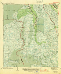
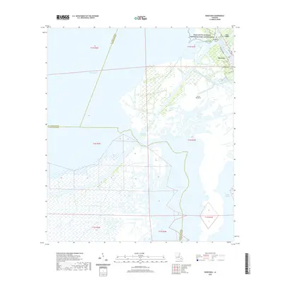
(21)- 1892 Map of Barataria
 1892 Barataria1892 Print · USGSCoastal Jefferson and Plaquemines parishes appear in the late nineteenth century as a sprawling network of marshlands and navigable bayous. Researchers can trace the early rail influence of the N. O. F. J. & G. I. R. R. and locate family landmarks like John the Fool Island and the settlement of Barataria.3 unique versions available
 - 1941 Map of Barataria
 1941 Barataria1941 Print · USGSCoastal Jefferson Parish appears at the dawn of the 1940s, where the Mississippi River meets a vast network of bayous and wetlands. Genealogists can trace family roots in Barataria and Jesuit Bend, or locate historic local landmarks like Fisher Sch No 1 and the Lafitte P O.
 - 1944 Map of Barataria
 1944 Barataria1944 Print · USGSCoastal Jefferson Parish appears as a intricate network of tidal bayous and marshes in the years during World War II. Genealogists and historians can trace the early settlement footprints of Lafitte P O, Villere, and the local Fisher Sch No 1.
 - 1945 Map of New Orleans
 1945 New Orleans1945 Print · USGSCoastal Louisiana and the Mississippi delta are captured here just after the war, showing the region's transition into a modern industrial and transit hub. Genealogists can trace family settlements along Bayou Teche or identify rail stops for the Illinois Central and Texas & Pacific lines.
 - 1962 Map of Barataria, 1966 Print
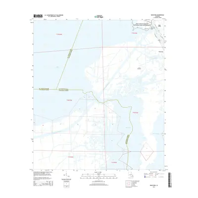
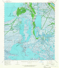 1962 Barataria1966 Print · USGSCoastal Jefferson Parish in the early 1960s reveals a unique intersection of delta settlements and a booming petroleum industry. Genealogists and historians can trace local families through recorded sites like Fleming Cem and Lafitte Cem or the industrial footprint of the Lafitte Oil Field.2 unique versions available
 - 1963 Map of New Orleans
 1963 New Orleans1963 Print · USGSCoastal Louisiana in the mid-twentieth century reveals a complex world of bayou settlements, expanding oil fields, and vital rail networks. Genealogists and historians can trace family roots through river towns like Thibodaux or follow the Southern Pacific line through Franklin and Patterson.4 unique versions available
 - 1966 Map of New Orleans
 1966 New Orleans1966 Print · USGSCoastal Louisiana in the mid-1960s reveals a transition from traditional bayou life to an intensive offshore oil and gas economy. Researchers can trace the rail lines of the Southern Pacific RR through Morgan City or locate the Eugene Island Lighthouse among the delta's shifting marshes.
 - 1973 Map of Barataria, 1976 Print
 1973 Barataria1976 Print · USGSCoastal Jefferson Parish in the early 1970s shows a landscape of traditional bayou life meeting heavy industry. Genealogists and historians can trace the community of Barataria near St Anthony Ch while mapping the vast reach of the South Barataria Oil and Gas Field.
 - 1973 Map of Lafitte, 1976 Print
 1973 Lafitte1976 Print · USGSCoastal Jefferson Parish in the early 1970s shows a landscape of traditional bayou settlements and rising industrial waterways. Genealogists can locate specific family burial grounds like Coulon Cem and Fisher Cem along the banks of Bayou Barataria.2 unique versions available
 - 1983 Map of New Orleans
 1983 New Orleans1983 Print · USGSSoutheast Louisiana in the early eighties reveals a landscape where the urban density of New Orleans meets the vast wetlands of the Salvador State Wildlife Management Area. Genealogists and historians can trace the traditional bayou settlements of Houma and Thibodaux alongside major rail lines like the Southern Pacific.2 unique versions available
 - 1995 Map of Lafitte, 1999 Print
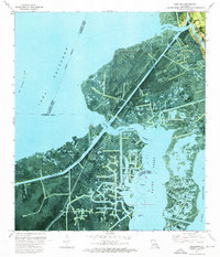
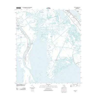
 1995 Lafitte1999 Print · USGSCoastal Jefferson Parish in the mid-nineties shows a landscape defined by the intersection of family heritage and the oil industry. Genealogists can locate several historic burial sites like Little Village Cem and Lafitte Cem or trace the New Orleans and Lower Coast rail line.
 - 2012 Map of Barataria, 2012 Print
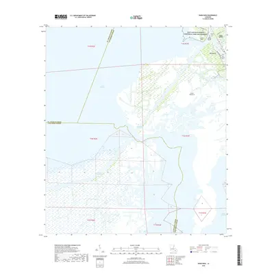
 2012 Barataria2012 Print · USGSCovers Lafitte, including Jean Lafitte, Barataria, and other nearby areas
 - 2012 Map of Lafitte, 2012 Print
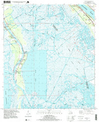
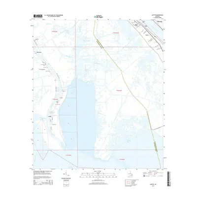
 2012 Lafitte2012 Print · USGSCovers Lafitte, including Jean Lafitte, Star, and other nearby areas
 - 2015 Map of Barataria, 2015 Print
 2015 Barataria2015 Print · USGSCovers Lafitte, including Jean Lafitte, Barataria, and other nearby areas
 - 2015 Map of Lafitte, 2015 Print
 2015 Lafitte2015 Print · USGSCovers Lafitte, including Jean Lafitte, Star, and other nearby areas
 - 2018 Map of Barataria, 2018 Print
 2018 Barataria2018 Print · USGSCovers Lafitte, including Jean Lafitte, Barataria, and other nearby areas
 - 2018 Map of Lafitte, 2018 Print
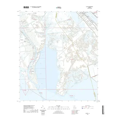
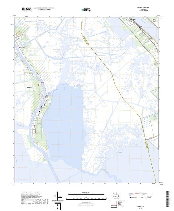
 2018 Lafitte2018 Print · USGSCovers Lafitte, including Jean Lafitte, Star, and other nearby areas
 - 2020 Map of Lafitte, 2020 Print
 2020 Lafitte2020 Print · USGSCovers Lafitte, including Jean Lafitte, Star, and other nearby areas
 - 2020 Map of Barataria, 2020 Print
 2020 Barataria2020 Print · USGSCovers Lafitte, including Jean Lafitte, Barataria, and other nearby areas
 - 2024 Map of Lafitte, 2024 Print
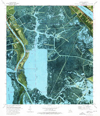
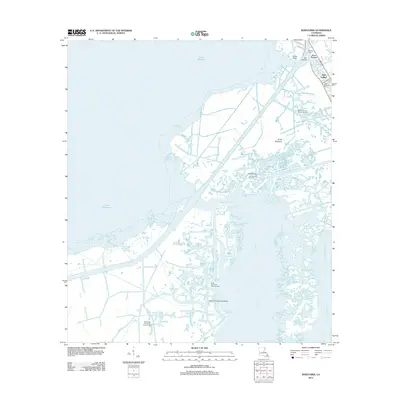
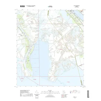
 2024 Lafitte2024 Print · USGSCoastal Jefferson Parish in the early twenty-first century remains a world of winding bayous and family-named cemeteries. Genealogists can trace local heritage through sites like Little Village Cem and Fisher Cem or follow the historic shoreline settlements from Jesuit Bend to Jean Lafitte.
 - 2024 Map of Barataria, 2024 Print
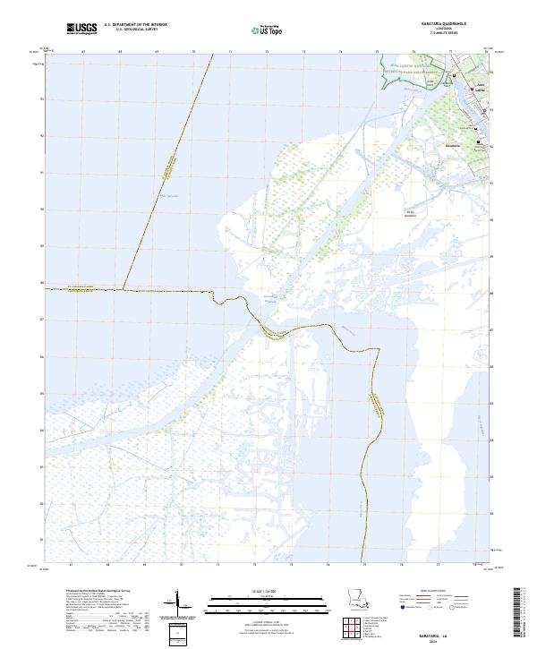 2024 Barataria2024 Print · USGSCoastal Jefferson Parish appears here in the 2020s, showing a landscape defined by its deep connection to the water. Researchers can trace family sites at Fleming Cem and Saint Anthony Cem or explore the wetlands of Jean Lafitte National Historical Park and Preserve.
End of results
Showing maps 1-21 of 21
Top cities near Lafitte
- New Orleans historical maps
- Gretna historical maps
- Waggaman historical maps
- Westwego historical maps
- Jean Lafitte historical maps
Frequently asked questions
- What are the different types of historical maps available for Lafitte?
- What is the oldest map of Lafitte?
- Where can I purchase historical maps of Lafitte for my home or office?
- Where can I download high-res historical maps of Lafitte?
- Are there historical topographic maps available for Lafitte?
- Is there historical aerial imagery available for Lafitte?
- Where are historical maps of Lafitte sourced from?