Old Maps of Broussard, Louisiana for Metal Detecting
Plan your next treasure hunt with 35 historic maps of Broussard. Find old homesites, ghost towns, trails, and gathering spots that may be lost to time — perfect for identifying promising metal detecting locations.
- Locate forgotten sites: Uncover places like long-lost settlements, abandoned rail lines, or gathering spots.
- Plan better hunts: Use map overlays combined with LiDAR or satellite views to narrow in on historically rich areas.
- Made for detectorists: Thousands of hobbyists use these maps to discover relics, coins, and hidden history.
Use these historic maps to boost your research and find new opportunities beneath the surface of Broussard.
Broussard, LA maps
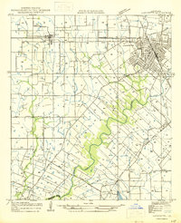
(35)- 1939 Map of St. Martinsville, 1946 Print
 1939 St. Martinsville1946 Print · USGSCajun country at the end of the 1930s reveals a landscape shaped by the Bayou Teche and the expansion of the regional oil and rail industries. Genealogists can locate family landmarks like the Girouard Ranch and rural centers such as Cecelia Ch & Sch or Billeaud.2 unique versions available
 - 1946 Map of Lafayette
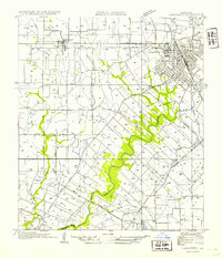
 1946 Lafayette1946 Print · USGSLafayette and the surrounding Acadiana countryside are captured here in the mid-1940s as the city expanded around its educational and rail hubs. Genealogists and local historians can pinpoint the Louisiana Southwestern Institute, rural schoolhouses like Verot Sch, and the rail sidings at Tolson and Ely Junction.
 - 1952 Map of Lake Charles
 1952 Lake Charles1952 Print · USGSSouthwest Louisiana is captured here in the mid-fifties, showing a landscape defined by the rise of the petrochemical industry and deep-water navigation. Researchers can trace family roots through numerous small-town settlements and oil developments like Nibletts Bluff, the Lockport Oil Field, and Starks.
 - 1954 Map of Lafayette
 1954 Lafayette1954 Print · USGSMid-century Lafayette is captured here as the city grid expands toward the Louisiana Southwestern Institute and the Vermilion River. Genealogists can trace family tracts and small rail stops like Tolson, Scott, and Ely Junction.
 - 1954 Map of Lake Charles, 1964 Print
 1954 Lake Charles1964 Print · USGSSouthwest Louisiana in the mid-fifties is defined by its massive petroleum industry and its complex network of bayous and rail lines. Researchers can trace the development of the Sulphur Mines Oil Field or locate historic settlements like Longville and De Quincy.3 unique versions available
 - 1954 Map of Baton Rouge, 1974 Print
 1954 Baton Rouge1974 Print · USGSSoutheast Louisiana in the mid-fifties is captured here during a period of transition for its river and rail economies. Researchers can trace the path of the Mississippi River and find landmarks like the Bonnet Carre Spillway and Bayou Plaquemine.2 unique versions available
 - 1955 Map of Lafayette, 1956 Print
 1955 Lafayette1956 Print · USGSLafayette and the surrounding Acadiana prairies are captured in the mid-fifties, showing a bustling regional center defined by the Southern Pacific and SW Louisiana Institute. Genealogists can trace family names through numerous burial sites like Whittington Cem and Broussard Cem.3 unique versions available
 - 1955 Map of Lafayette, 1956 Print
 1955 Lafayette1956 Print · USGSMid-century Acadiana is captured here as LAFAYETTE expands near traditional settlements like Youngsville and Maurice. Genealogists and historians can locate numerous family-named landmarks, such as Abshire Cem, Judice High Sch, and the Duson Gas Field.5 unique versions available
 - 1956 Map of Baton Rouge
 1956 Baton Rouge1956 Print · USGSSouth Louisiana at the height of the mid-century oil boom shows a landscape of river oxbows and rising industry. Researchers can trace family roots through river towns like Scotlandville or locate early industrial sites and Oil wells near Lake Maurepas.
 - 1957 Map of St. Martinville, 1958 Print
 1957 St. Martinville1958 Print · USGSSt. Martin and Iberia Parishes are captured here during the mid-fifties, showing the intersection of traditional plantation culture and new military and industrial growth. Genealogists and local historians can trace family lands near Romero Plantation, find old country schools like Forgey Sch, or locate the US Naval Auxiliary Air Station.2 unique versions available
 - 1961 Map of Baton Rouge, 1966 Print
 1961 Baton Rouge1966 Print · USGSSoutheastern Louisiana in the early sixties remains a landscape of deep river bends and sprawling coastal lakes. Genealogists and historians can trace the rail-and-river economy through landmarks like Free-Nigger Point, Donaldsonville, and the Illinois Central Railroad.
 - 1962 Map of Baton Rouge
 1962 Baton Rouge1962 Print · USGSSouth Louisiana in the early sixties reveals a landscape of river-bend parishes and emerging interstate corridors. Genealogists and historians can trace family roots through historic river towns like Donaldsonville and Plaquemine, or follow the path of the Illinois Central Railroad through the swamp basins.
 - 1970 Map of St. Martinville, 1972 Print
 1970 St. Martinville1972 Print · USGSThe heart of Acadiana comes to life in the early 1970s as industrial growth meets the historic Bayou Teche. Genealogists and local historians can trace family-named sites and landmarks like Holy Name Institute, the Keystone Lock and Dam, and the old community at Duchamp.2 unique versions available
 - 1983 Map of Lafayette
 1983 Lafayette1983 Print · USGSLafayette and the surrounding Acadiana prairies underwent significant expansion in the early eighties as the energy industry and university campus grew. Researchers can locate numerous local burial grounds like Simon Cem and historic school sites including James Sch and Judice Sch.
 - 1983 Map of Broussard
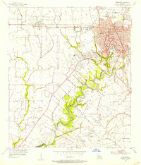
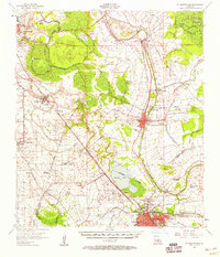
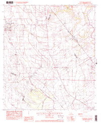
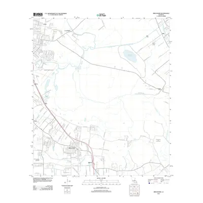
 1983 Broussard1983 Print · USGSLouisiana's Acadiana region comes into focus during the early 1980s as the urban growth of Lafayette pushes toward the historic rail towns. Genealogists and historians can trace families across the Southern Pacific line through Broussard, Pilette, and the Holy Rosary Institute.2 unique versions available
 - 1983 Map of Youngsville
 1983 Youngsville1983 Print · USGSYoungsville and the surrounding Acadiana prairies are captured in the early eighties as agricultural traditions met modern expansion. Researchers can trace the Southern Pacific rail corridor through old settlements like Cade, Duchamp, and Lozes.
 - 1984 Map of Baton Rouge
 1984 Baton Rouge1984 Print · USGSBaton Rouge and the surrounding river country are captured in the mid-eighties as the industrial corridor met the deep wetlands of the basin. Researchers can trace the winding Bayou Teche, locate family roots in St Martinville, or study the massive Atchafalaya Basin Floodway.2 unique versions available
 - 1985 Map of Crowley, 1986 Print
 1985 Crowley1986 Print · USGSCoastal prairie and bayou country are captured in the mid-eighties as the rice-and-rail economy defined South Louisiana life. Genealogists and researchers can trace family lands and rural hubs from Crowley to Jennings, following the paths of the Southern Pacific Railroad and the winding Mermentau River.2 unique versions available
 - 1994 Map of Lafayette, 1998 Print
 1994 Lafayette1998 Print · USGSLafayette and the surrounding Acadiana region are captured in the mid-1990s as suburban growth began to reshape the old parish lines. Genealogists can trace local history through several family-named landmarks including Cobb Cem, Broussard Cem, and the settlement of Scott.
 - 1999 Map of Broussard, 2000 Print
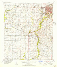
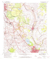
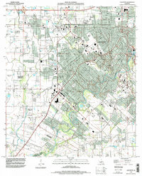
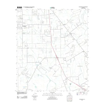
 1999 Broussard2000 Print · USGSThe Acadiana region at the close of the century shows the steady expansion of Lafayette toward the parish line. Researchers can trace local landmarks like the Holy Rosary Institute and settlements at Broussard, Billeaud, and Pilette.
 - 2012 Map of Lafayette, 2012 Print
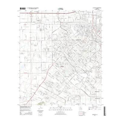
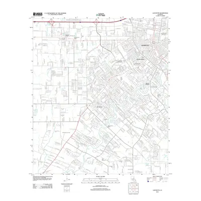 2012 Lafayette2012 Print · USGSCovers Broussard, including Lafayette, Scott, and other nearby areas
 - 2012 Map of Youngsville, 2012 Print
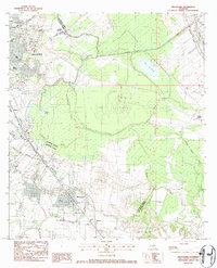
 2012 Youngsville2012 Print · USGSCovers Broussard, including Youngsville, Duchamp, and other nearby areas
 - 2012 Map of Broussard, 2012 Print
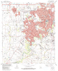
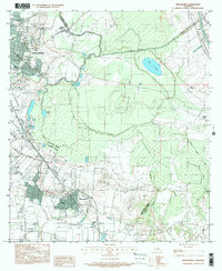
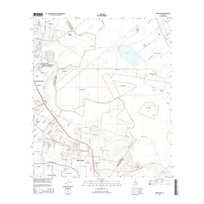
 2012 Broussard2012 Print · USGSCovers Broussard, including Lafayette, Youngsville, and other nearby areas
 - 2015 Map of Lafayette, 2015 Print
 2015 Lafayette2015 Print · USGSCovers Broussard, including Lafayette, Scott, and other nearby areas
 - 2015 Map of Broussard, 2015 Print
 2015 Broussard2015 Print · USGSCovers Broussard, including Lafayette, Youngsville, and other nearby areas
Showing maps 1-25 of 35
Top cities near Broussard
- Lafayette historical maps
- New Iberia historical maps
- Abbeville historical maps
- Scott historical maps
- Breaux Bridge historical maps
- Carencro historical maps
See more
Top neighborhoods of Broussard
Frequently asked questions
- What are the different types of historical maps available for Broussard?
- What is the oldest map of Broussard?
- Where can I purchase historical maps of Broussard for my home or office?
- Where can I download high-res historical maps of Broussard?
- Are there historical topographic maps available for Broussard?
- Is there historical aerial imagery available for Broussard?
- Where are historical maps of Broussard sourced from?