2020s Maps of Ruston, Louisiana
Explore 6 historic maps of Ruston from the 2020s. These maps offer a rare glimpse into what life looked like during the 2020s — showing old roads, neighborhoods, homes, and landmarks that have changed or disappeared over time.
Whether you're researching your family's past, planning a metal detecting trip, or studying how Ruston's landscape evolved across the 2020s, these high-resolution maps are a powerful tool for exploring the history of this region.
- Focus on a specific era: All maps on this page are from the 2020s, giving you a focused view of this time period.
- See what’s changed: Compare century-old streets, trails, and buildings to today's modern landscape using overlays and satellite layers.
- Research with precision: Use these maps for genealogy, historical research, land use analysis, or educational projects.
- View, download, or print: Maps are fully viewable online in high resolution, and can be downloaded or printed for your own records.
Start exploring Ruston's history through authentic maps from the 2020s. This is your window into the past.
Ruston, LA maps
(6)- 2020 Map of Clay, 2020 Print
 2020 Clay2020 Print · USGSCovers Ruston, including Clay, Woodville, and other nearby areas
 - 2020 Map of Ruston East, 2020 Print
 2020 Ruston East2020 Print · USGSCovers Ruston, including Choudrant, Douglas, and other nearby areas
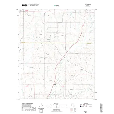
 - 2020 Map of Ruston West, 2020 Print
 2020 Ruston West2020 Print · USGSCovers Ruston, including Grambling, Vienna, and other nearby areas
 - 2024 Map of Clay, 2024 Print
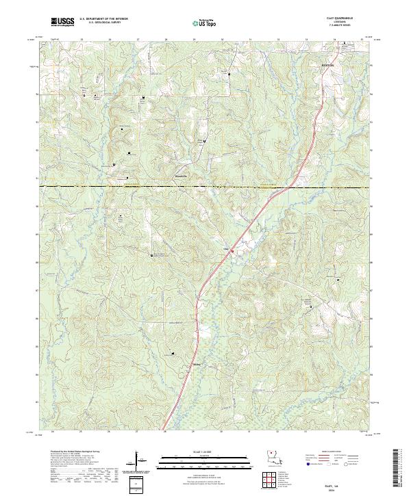 2024 Clay2024 Print · USGSJackson and Lincoln Parish life is documented here in the early twenty-first century, centered on the communities of Clay and Woodville. Researchers can locate numerous family burial sites and landmarks like the Wilson Marker and Bond Family Cem.
 - 2024 Map of Ruston West, 2024 Print
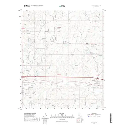
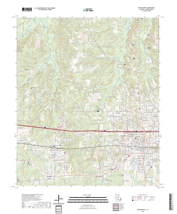 2024 Ruston West2024 Print · USGSLouisiana's academic heartland is captured in this modern survey of the Lincoln Parish area. Researchers can trace local heritage through numerous family sites like May Family Cem or locate institutional landmarks like Grambling State University and the Lincoln Parish Courthouse.
 - 2024 Map of Ruston East, 2024 Print
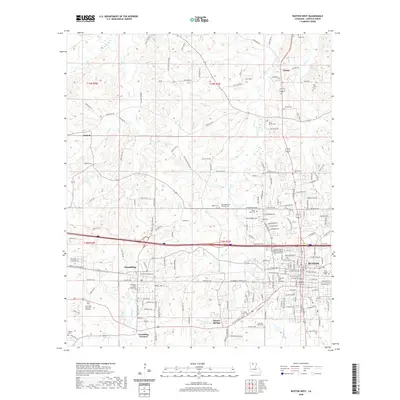
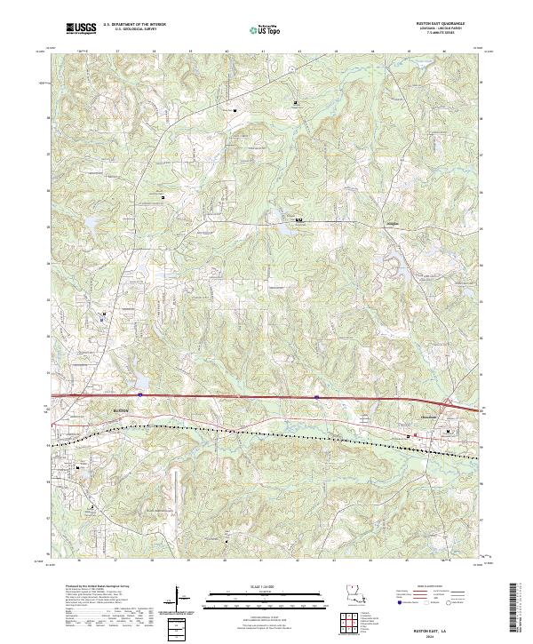 2024 Ruston East2024 Print · USGSLincoln Parish in the modern era shows a landscape where rural crossroads and historical cemeteries meet growing infrastructure. Genealogists can trace family heritage through sites like Zion Travler Cem, Saint Peters Cem, and the quiet settlement of Douglas.
End of results
Showing maps 1-6 of 6
Top cities near Ruston
- Grambling historical maps
- Farmerville historical maps
- Dubach historical maps
- Simsboro historical maps
- Choudrant historical maps
- Chatham historical maps
See more
Top neighborhoods of Ruston
- Barnet Springs historical maps
- Cooktown historical maps
- Mount Olive historical maps
- Louise Place historical maps
- Forest Creek historical maps
- Foxxwood historical maps
See more
Frequently asked questions
- What are the different types of historical maps available for Ruston?
- What is the oldest map of Ruston?
- Where can I purchase historical maps of Ruston for my home or office?
- Where can I download high-res historical maps of Ruston?
- Are there historical topographic maps available for Ruston?
- Is there historical aerial imagery available for Ruston?
- Where are historical maps of Ruston sourced from?