Old Maps of Ruston, Louisiana for Academic Research
Study the evolution of Ruston with 29 high-resolution historic maps. Whether you're teaching, researching, or modeling changes in land use, these maps provide essential visual documentation of urban, environmental, and geographic change.
- Analyze long-term change: Track patterns in development, transportation, and natural features.
- Ideal for environmental or urban studies: Support academic projects with primary historical map data.
- Use in the classroom or lab: Educators and researchers rely on these maps to bring historical context to life.
These maps are a powerful tool for teaching, research, and visualizing how Ruston has changed over the decades.
Ruston, LA maps
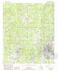
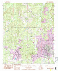
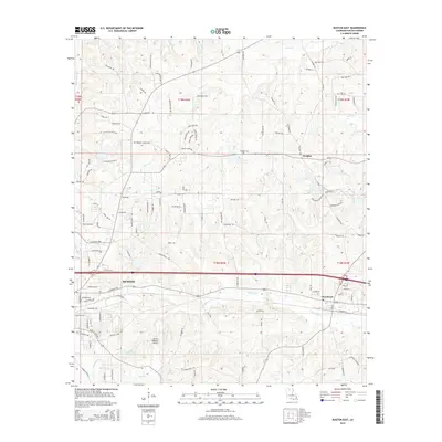
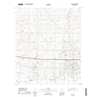
(29)- 1950 Map of Ruston, 1956 Print
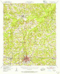 1950 Ruston1956 Print · USGSLincoln Parish at mid-century centers on the expansion of Ruston and the campus of Grambling College during a period of steady growth. Researchers can trace rural lineages through numerous country landmarks like New Prospect Ch, Macedonia Cem, and Culbertson Sch.2 unique versions available
 - 1951 Map of Ruston
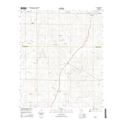
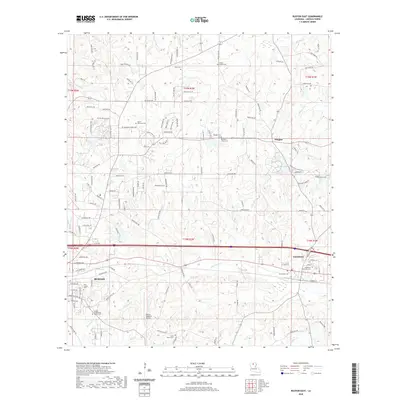
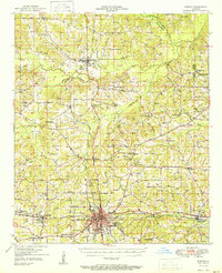 1951 Ruston1951 Print · USGSNorth Louisiana in the early fifties was a landscape of rail-driven towns and deep-rooted rural parishes. Genealogists can trace family landmarks like Henry Cem and Macedonia Ch, or explore the early campus footprint of Grambling College.
 - 1953 Map of Hodge, 1954 Print
 1953 Hodge1954 Print · USGSJackson Parish in the early fifties shows a landscape of timber and rail, centered on the busy mills of Hodge and Jonesboro. Genealogists and historians can trace the foundations of local life at China Grove Sch and Saints Rest Ch.5 unique versions available
 - 1955 Map of Shreveport
 1955 Shreveport1955 Print · USGSNorthern Louisiana in the mid-fifties is captured here as a landscape of military bases, vast oil fields, and burgeoning college towns. Genealogists and historians can trace the rail-and-river economy through the Monroe Gas Field, Grambling College, and Barksdale Air Force Base.3 unique versions available
 - 1956 Map of Shreveport
 1956 Shreveport1956 Print · USGSNorthern Louisiana during the mid-fifties presents a complex landscape of booming oil fields and strategic military installations. Genealogists and historians can trace the infrastructure of the Monroe Gas Field and family-named locales from Cotton Valley to Jonesboro.
 - 1984 Map of Shreveport
 1984 Shreveport1984 Print · USGSNorthern Louisiana at the peak of the 1980s reveals a landscape of massive water management projects and Cold War military hubs. Trace the rail lines of the Kansas City Southern Ry past Barksdale Air Force Base and the high ground of Driskill Mountain.2 unique versions available
 - 1985 Map of Monroe South
 1985 Monroe South1985 Print · USGSNorth Central Louisiana in the mid-1980s was a hub of timber production and rail transport spanning from the Dugdemona River to the Ouachita valley. Family researchers and historians can trace the rail lines of the Midsouth Railroad through Jonesboro or find local landmarks like Mineral Springs and Punkin Center.2 unique versions available
 - 1985 Map of Monroe North, 1986 Print
 1985 Monroe North1986 Print · USGSNorth-central Louisiana in the mid-eighties was a landscape defined by the growth of university towns and the expansion of the natural gas industry. Researchers can trace rural family roots through landmarks like Lisbon Cem, New Hope Ch, and the many schools in Farmerville or Bernice.2 unique versions available
 - 1985 Map of Ruston East, 1986 Print
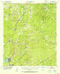
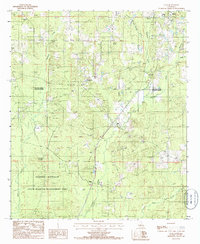
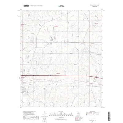
 1985 Ruston East1986 Print · USGSLincoln Parish comes into focus during the mid-eighties as the eastern expansion of Ruston meets the rural village of Choudrant. Researchers can trace old family burial sites at various Cem locations and locate industrial landmarks like the local Clay Pit.
 - 1985 Map of Ruston West, 1986 Print
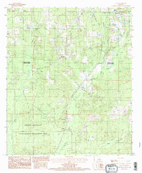
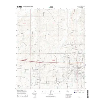
 1985 Ruston West1986 Print · USGSLincoln Parish in the mid-1980s reveals a landscape shaped by growing university campuses and the winding paths of North Louisiana creeks. Researchers can trace the development of Grambling State University, the rural community of Vienna, and family-named landmarks like Barnet Springs.
 - 1985 Map of Clay, 1986 Print
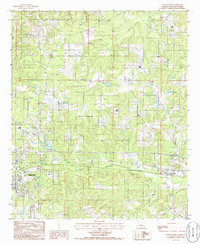
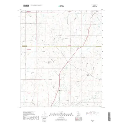
 1985 Clay1986 Print · USGSNorthern Louisiana timber and hill country are captured here in the mid-eighties, revealing a landscape of small settlements and resource extraction. Researchers can trace family roots at several rural cemeteries or locate the old Gravel Pit Redwine and Ansley.
 - 1994 Map of Clay
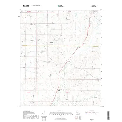
 1994 Clay1994 Print · USGSThe intersection of Lincoln and Jackson Parishes in the mid-1990s reveals a landscape shaped by piney woods and bayous. Genealogists can locate several Cem sites near Clay or trace the rural footprint of Woodville and Ansley.
 - 1994 Map of Ruston East, 1995 Print
 1994 Ruston East1995 Print · USGSLincoln Parish in the mid-1990s shows the growth of Ruston and its connections to the rural community of Choudrant. Trace local history through land use features like the Clay Pit and Sand Pits alongside winding waterways like Squire Creek.
 - 1994 Map of Ruston West, 1995 Print
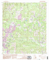
 1994 Ruston West1995 Print · USGSNorth Louisiana's academic and residential growth is on full display in the mid-nineties as the areas around Grambling and Ruston expand. Researchers can trace the development of Grambling State University and Louisiana Tech University alongside landmarks like Barnet Springs.
 - 2012 Map of Clay, 2012 Print
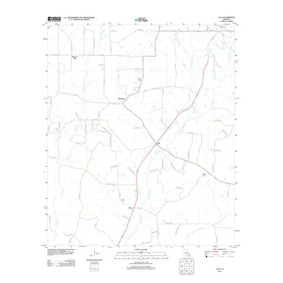 2012 Clay2012 Print · USGSCovers Ruston, including Clay, Woodville, and other nearby areas
 - 2012 Map of Ruston East, 2012 Print
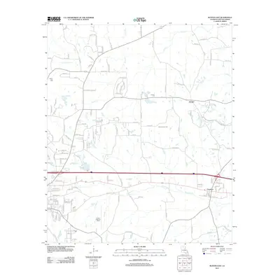 2012 Ruston East2012 Print · USGSCovers Ruston, including Choudrant, Douglas, and other nearby areas
 - 2012 Map of Ruston West, 2012 Print
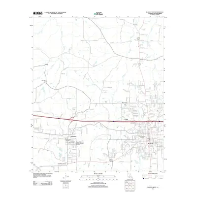 2012 Ruston West2012 Print · USGSCovers Ruston, including Grambling, Vienna, and other nearby areas
 - 2015 Map of Ruston East, 2015 Print
 2015 Ruston East2015 Print · USGSCovers Ruston, including Choudrant, Douglas, and other nearby areas
 - 2015 Map of Clay, 2015 Print
 2015 Clay2015 Print · USGSCovers Ruston, including Clay, Woodville, and other nearby areas
 - 2015 Map of Ruston West, 2015 Print
 2015 Ruston West2015 Print · USGSCovers Ruston, including Grambling, Vienna, and other nearby areas
 - 2018 Map of Ruston East, 2018 Print
 2018 Ruston East2018 Print · USGSCovers Ruston, including Choudrant, Douglas, and other nearby areas
 - 2018 Map of Ruston West, 2018 Print
 2018 Ruston West2018 Print · USGSCovers Ruston, including Grambling, Vienna, and other nearby areas
 - 2018 Map of Clay, 2018 Print
 2018 Clay2018 Print · USGSCovers Ruston, including Clay, Woodville, and other nearby areas
 - 2020 Map of Clay, 2020 Print
 2020 Clay2020 Print · USGSCovers Ruston, including Clay, Woodville, and other nearby areas
 - 2020 Map of Ruston East, 2020 Print
 2020 Ruston East2020 Print · USGSCovers Ruston, including Choudrant, Douglas, and other nearby areas
Showing maps 1-25 of 29
Top cities near Ruston
- Grambling historical maps
- Farmerville historical maps
- Dubach historical maps
- Simsboro historical maps
- Choudrant historical maps
- Chatham historical maps
See more
Top neighborhoods of Ruston
- Barnet Springs historical maps
- Cooktown historical maps
- Mount Olive historical maps
- Louise Place historical maps
- Forest Creek historical maps
- Foxxwood historical maps
See more
Frequently asked questions
- What are the different types of historical maps available for Ruston?
- What is the oldest map of Ruston?
- Where can I purchase historical maps of Ruston for my home or office?
- Where can I download high-res historical maps of Ruston?
- Are there historical topographic maps available for Ruston?
- Is there historical aerial imagery available for Ruston?
- Where are historical maps of Ruston sourced from?