Old Maps of Marcus Pointe, Ruston for Hiking & Exploration
Hike through history with 13 historic maps of Marcus Pointe. Explore old trails, ghost towns, and forgotten backroads — perfect for outdoor adventurers and local explorers.
- Rediscover forgotten places: Map out old mining camps, roads, and footpaths that no longer exist on modern maps.
- Layer with modern tools: Combine with LiDAR or satellite views to plan hikes through historical terrain.
- Made for exploration: Popular among hikers, overlanders, and local history lovers.
Use these maps to find adventure and explore the hidden past of Marcus Pointe.
Marcus Pointe, Ruston maps
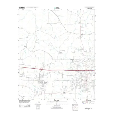
(13)- 1950 Map of Ruston, 1956 Print
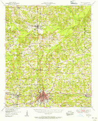 1950 Ruston1956 Print · USGSLincoln Parish at mid-century centers on the expansion of Ruston and the campus of Grambling College during a period of steady growth. Researchers can trace rural lineages through numerous country landmarks like New Prospect Ch, Macedonia Cem, and Culbertson Sch.2 unique versions available
 - 1951 Map of Ruston
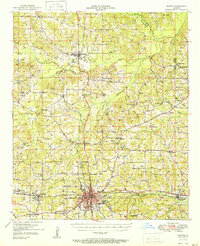 1951 Ruston1951 Print · USGSNorth Louisiana in the early fifties was a landscape of rail-driven towns and deep-rooted rural parishes. Genealogists can trace family landmarks like Henry Cem and Macedonia Ch, or explore the early campus footprint of Grambling College.
 - 1955 Map of Shreveport
 1955 Shreveport1955 Print · USGSNorthern Louisiana in the mid-fifties is captured here as a landscape of military bases, vast oil fields, and burgeoning college towns. Genealogists and historians can trace the rail-and-river economy through the Monroe Gas Field, Grambling College, and Barksdale Air Force Base.3 unique versions available
 - 1956 Map of Shreveport
 1956 Shreveport1956 Print · USGSNorthern Louisiana during the mid-fifties presents a complex landscape of booming oil fields and strategic military installations. Genealogists and historians can trace the infrastructure of the Monroe Gas Field and family-named locales from Cotton Valley to Jonesboro.
 - 1984 Map of Shreveport
 1984 Shreveport1984 Print · USGSNorthern Louisiana at the peak of the 1980s reveals a landscape of massive water management projects and Cold War military hubs. Trace the rail lines of the Kansas City Southern Ry past Barksdale Air Force Base and the high ground of Driskill Mountain.2 unique versions available
 - 1985 Map of Monroe North, 1986 Print
 1985 Monroe North1986 Print · USGSNorth-central Louisiana in the mid-eighties was a landscape defined by the growth of university towns and the expansion of the natural gas industry. Researchers can trace rural family roots through landmarks like Lisbon Cem, New Hope Ch, and the many schools in Farmerville or Bernice.2 unique versions available
 - 1985 Map of Ruston West, 1986 Print
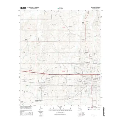
 1985 Ruston West1986 Print · USGSLincoln Parish in the mid-1980s reveals a landscape shaped by growing university campuses and the winding paths of North Louisiana creeks. Researchers can trace the development of Grambling State University, the rural community of Vienna, and family-named landmarks like Barnet Springs.
 - 1994 Map of Ruston West, 1995 Print
 1994 Ruston West1995 Print · USGSNorth Louisiana's academic and residential growth is on full display in the mid-nineties as the areas around Grambling and Ruston expand. Researchers can trace the development of Grambling State University and Louisiana Tech University alongside landmarks like Barnet Springs.
 - 2012 Map of Ruston West, 2012 Print
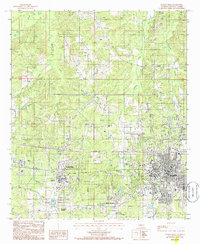
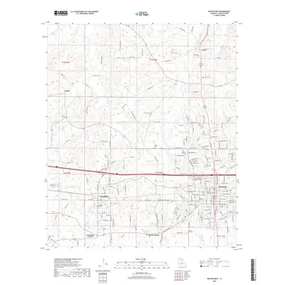
 2012 Ruston West2012 Print · USGSCovers Marcus Pointe, including Ruston, Grambling, and other nearby areas
 - 2015 Map of Ruston West, 2015 Print
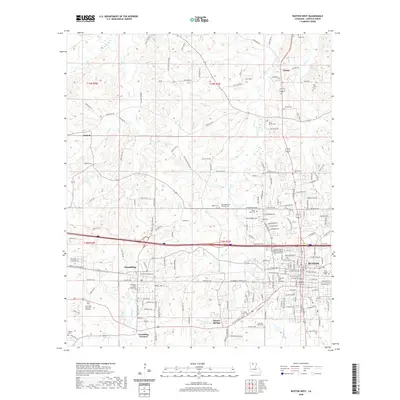
 2015 Ruston West2015 Print · USGSCovers Marcus Pointe, including Ruston, Grambling, and other nearby areas
 - 2018 Map of Ruston West, 2018 Print
 2018 Ruston West2018 Print · USGSCovers Marcus Pointe, including Ruston, Grambling, and other nearby areas
 - 2020 Map of Ruston West, 2020 Print
 2020 Ruston West2020 Print · USGSCovers Marcus Pointe, including Ruston, Grambling, and other nearby areas
 - 2024 Map of Ruston West, 2024 Print
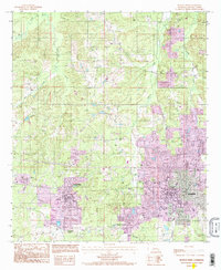
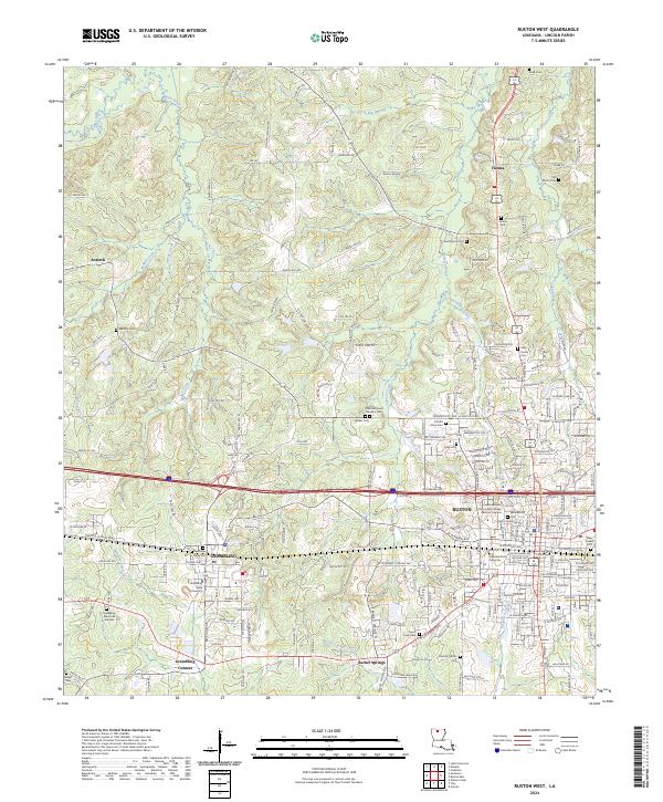 2024 Ruston West2024 Print · USGSLouisiana's academic heartland is captured in this modern survey of the Lincoln Parish area. Researchers can trace local heritage through numerous family sites like May Family Cem or locate institutional landmarks like Grambling State University and the Lincoln Parish Courthouse.
End of results
Showing maps 1-13 of 13
Frequently asked questions
- What are the different types of historical maps available for Marcus Pointe?
- What is the oldest map of Marcus Pointe?
- Where can I purchase historical maps of Marcus Pointe for my home or office?
- Where can I download high-res historical maps of Marcus Pointe?
- Are there historical topographic maps available for Marcus Pointe?
- Is there historical aerial imagery available for Marcus Pointe?
- Where are historical maps of Marcus Pointe sourced from?