Old Maps of Mount Olive, Ruston for Academic Research
Study the evolution of Mount Olive with 13 high-resolution historic maps. Whether you're teaching, researching, or modeling changes in land use, these maps provide essential visual documentation of urban, environmental, and geographic change.
- Analyze long-term change: Track patterns in development, transportation, and natural features.
- Ideal for environmental or urban studies: Support academic projects with primary historical map data.
- Use in the classroom or lab: Educators and researchers rely on these maps to bring historical context to life.
These maps are a powerful tool for teaching, research, and visualizing how Mount Olive has changed over the decades.
Mount Olive, Ruston maps
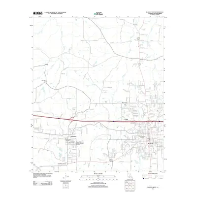
(13)- 1950 Map of Ruston, 1956 Print
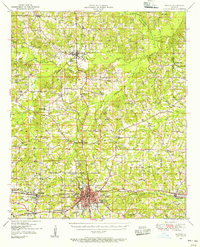 1950 Ruston1956 Print · USGSLincoln Parish at mid-century centers on the expansion of Ruston and the campus of Grambling College during a period of steady growth. Researchers can trace rural lineages through numerous country landmarks like New Prospect Ch, Macedonia Cem, and Culbertson Sch.2 unique versions available
 - 1951 Map of Ruston
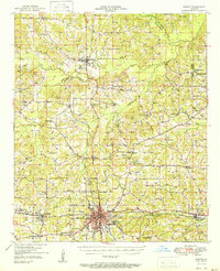 1951 Ruston1951 Print · USGSNorth Louisiana in the early fifties was a landscape of rail-driven towns and deep-rooted rural parishes. Genealogists can trace family landmarks like Henry Cem and Macedonia Ch, or explore the early campus footprint of Grambling College.
 - 1955 Map of Shreveport
 1955 Shreveport1955 Print · USGSNorthern Louisiana in the mid-fifties is captured here as a landscape of military bases, vast oil fields, and burgeoning college towns. Genealogists and historians can trace the rail-and-river economy through the Monroe Gas Field, Grambling College, and Barksdale Air Force Base.3 unique versions available
 - 1956 Map of Shreveport
 1956 Shreveport1956 Print · USGSNorthern Louisiana during the mid-fifties presents a complex landscape of booming oil fields and strategic military installations. Genealogists and historians can trace the infrastructure of the Monroe Gas Field and family-named locales from Cotton Valley to Jonesboro.
 - 1984 Map of Shreveport
 1984 Shreveport1984 Print · USGSNorthern Louisiana at the peak of the 1980s reveals a landscape of massive water management projects and Cold War military hubs. Trace the rail lines of the Kansas City Southern Ry past Barksdale Air Force Base and the high ground of Driskill Mountain.2 unique versions available
 - 1985 Map of Monroe North, 1986 Print
 1985 Monroe North1986 Print · USGSNorth-central Louisiana in the mid-eighties was a landscape defined by the growth of university towns and the expansion of the natural gas industry. Researchers can trace rural family roots through landmarks like Lisbon Cem, New Hope Ch, and the many schools in Farmerville or Bernice.2 unique versions available
 - 1985 Map of Ruston West, 1986 Print
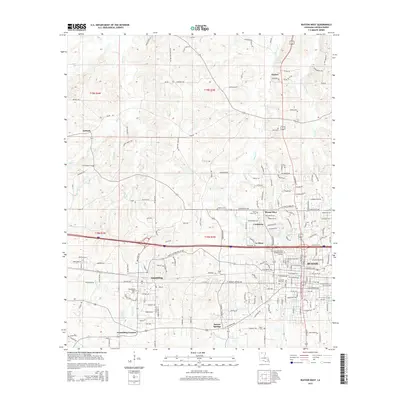
 1985 Ruston West1986 Print · USGSLincoln Parish in the mid-1980s reveals a landscape shaped by growing university campuses and the winding paths of North Louisiana creeks. Researchers can trace the development of Grambling State University, the rural community of Vienna, and family-named landmarks like Barnet Springs.
 - 1994 Map of Ruston West, 1995 Print
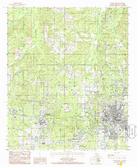
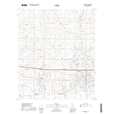
 1994 Ruston West1995 Print · USGSNorth Louisiana's academic and residential growth is on full display in the mid-nineties as the areas around Grambling and Ruston expand. Researchers can trace the development of Grambling State University and Louisiana Tech University alongside landmarks like Barnet Springs.
 - 2012 Map of Ruston West, 2012 Print
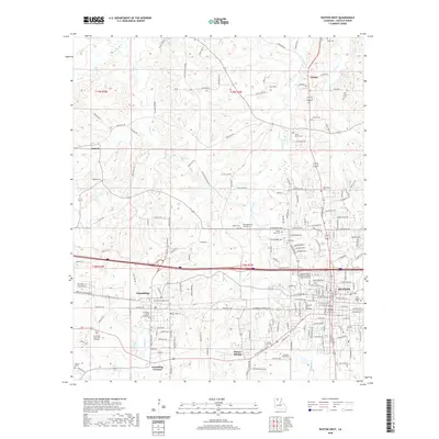
 2012 Ruston West2012 Print · USGSCovers Mount Olive, including Ruston, Grambling, and other nearby areas
 - 2015 Map of Ruston West, 2015 Print
 2015 Ruston West2015 Print · USGSCovers Mount Olive, including Ruston, Grambling, and other nearby areas
 - 2018 Map of Ruston West, 2018 Print
 2018 Ruston West2018 Print · USGSCovers Mount Olive, including Ruston, Grambling, and other nearby areas
 - 2020 Map of Ruston West, 2020 Print
 2020 Ruston West2020 Print · USGSCovers Mount Olive, including Ruston, Grambling, and other nearby areas
 - 2024 Map of Ruston West, 2024 Print
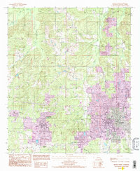
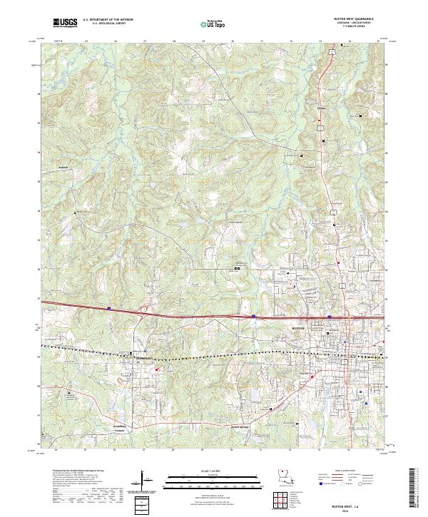 2024 Ruston West2024 Print · USGSLouisiana's academic heartland is captured in this modern survey of the Lincoln Parish area. Researchers can trace local heritage through numerous family sites like May Family Cem or locate institutional landmarks like Grambling State University and the Lincoln Parish Courthouse.
End of results
Showing maps 1-13 of 13
Top cities near Mount Olive
- Ruston historical maps
- Grambling historical maps
- Farmerville historical maps
- Dubach historical maps
- Simsboro historical maps
- Choudrant historical maps
See more
Frequently asked questions
- What are the different types of historical maps available for Mount Olive?
- What is the oldest map of Mount Olive?
- Where can I purchase historical maps of Mount Olive for my home or office?
- Where can I download high-res historical maps of Mount Olive?
- Are there historical topographic maps available for Mount Olive?
- Is there historical aerial imagery available for Mount Olive?
- Where are historical maps of Mount Olive sourced from?