Old Maps of Allen, Louisiana for Hiking & Exploration
Hike through history with 12 historic maps of Allen. Explore old trails, ghost towns, and forgotten backroads — perfect for outdoor adventurers and local explorers.
- Rediscover forgotten places: Map out old mining camps, roads, and footpaths that no longer exist on modern maps.
- Layer with modern tools: Combine with LiDAR or satellite views to plan hikes through historical terrain.
- Made for exploration: Popular among hikers, overlanders, and local history lovers.
Use these maps to find adventure and explore the hidden past of Allen.
Allen, LA maps
(12)- 1938 Map of Allen
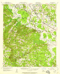
 1938 Allen1938 Print · USGSNatchitoches Parish was a landscape of intricate bayous and rural school districts in the late 1930s. Genealogists can trace family footprints through sites like Abbott Sch, New Bethel Ch, and the sprawling Old Spanish Lake Lowlands.
 - 1947 Map of Hanna
 1947 Hanna1947 Print · USGSRed River Parish and Natchitoches Parish are shown in the late 1940s, a period when the river valley remained a landscape of ferries, rural schools, and bayous. Genealogists can trace family landmarks like the Rambin Store, Jordon Ferry, and St James Cem.
 - 1953 Map of Alexandria, 1963 Print
 1953 Alexandria1963 Print · USGSCentral Louisiana during the early fifties is mapped here at the intersection of the piney woods and the Red River valley. Genealogists and historians can trace the rail-and-river network connecting towns like Alexandria, Natchitoches, and the grounds of Camp Beauregard.3 unique versions available
 - 1955 Map of Alexandria
 1955 Alexandria1955 Print · USGSCentral Louisiana in the mid-fifties is a landscape of river-port cities, sprawling timberlands, and massive military reservations. Genealogists and historians can trace the rail networks of the Texas & Pacific RR and locate sites like Camp Polk Military Reservation and Natchitoches.
 - 1957 Map of Hanna, 1958 Print
 1957 Hanna1958 Print · USGSThe Red River valley in the late fifties was a maze of shifting waterways and emerging oil interests. Researchers can trace rural lineages through the Rambin Store, Jordan Ferry, and dozens of country churches like Zion Rest Church.3 unique versions available
 - 1986 Map of Natchitoches
 1986 Natchitoches1986 Print · USGSNorthwestern Louisiana during the mid-eighties shows a landscape shaped by major water projects and timberlands. Researchers can trace historic routes like the Old Spanish Trail or locate rural communities such as Fort Jesup, Fairview Alpha, and Grappes Bluff.2 unique versions available
 - 1989 Map of Allen
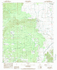 1989 Allen1989 Print · USGSThe interior wetlands of Natchitoches Parish are captured here in the late twentieth century, showing a landscape defined by Bayou Pierre. Researchers can trace the drainage patterns of Halls Brake or locate the small settlement and Cem at Allen.2 unique versions available
 - 2012 Map of Allen, 2012 Print
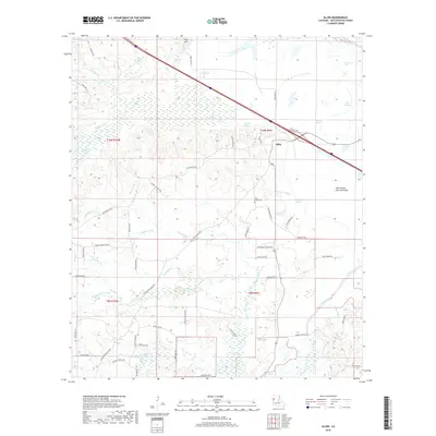
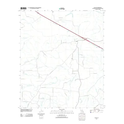 2012 Allen2012 Print · USGSCovers Allen, including Natchitoches Parish, United States, and other nearby areas
 - 2015 Map of Allen, 2015 Print
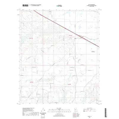
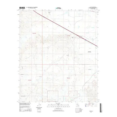 2015 Allen2015 Print · USGSCovers Allen, including Natchitoches Parish, United States, and other nearby areas
 - 2018 Map of Allen, 2018 Print
 2018 Allen2018 Print · USGSCovers Allen, including Natchitoches Parish, United States, and other nearby areas
 - 2020 Map of Allen, 2020 Print
 2020 Allen2020 Print · USGSCovers Allen, including Natchitoches Parish, United States, and other nearby areas
 - 2024 Map of Allen, 2024 Print
 2024 Allen2024 Print · USGSIn the river country of Natchitoches Parish, this contemporary survey shows the complex wetlands and family-named roads of the western Louisiana bottomlands. Locate local landmarks like Saint Annes Cem and the Old Spanish Lake Lowlands near the settlement of Allen.
End of results
Showing maps 1-12 of 12
Top cities near Allen
- Natchitoches historical maps
- Coushatta historical maps
- Campti historical maps
- Pleasant Hill historical maps
- Natchez historical maps
- Provencal historical maps
See more
Frequently asked questions
- What are the different types of historical maps available for Allen?
- What is the oldest map of Allen?
- Where can I purchase historical maps of Allen for my home or office?
- Where can I download high-res historical maps of Allen?
- Are there historical topographic maps available for Allen?
- Is there historical aerial imagery available for Allen?
- Where are historical maps of Allen sourced from?